Fairy Walk
A varied walk with some lovely sections along the banks of the Strontian River, the surrounding hills and through the Community Woodland at Strontian. The Community Woodland is a policy woodland, planted by the Riddle family in the 1800s as a symbol of wealth and importance. It contains over 60 exotic and native species of tree, including firs, spruces, pines and a fine specimen of monkey puzzle (Araucaria araucana), as well as range of fine specimen deciduous trees.
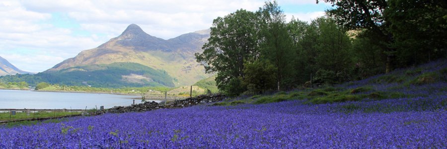
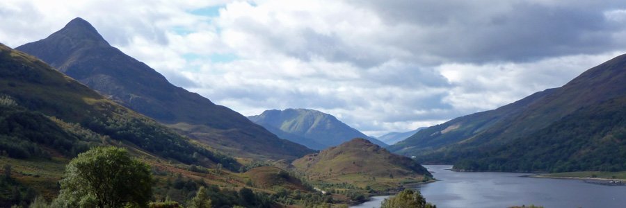
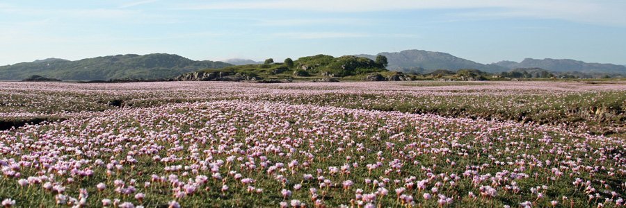
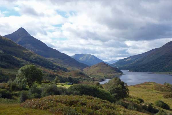
There are some superb views on route of Loch Sunart, the village of Scotstown and the hills and crags around Strontian and Scotstown.
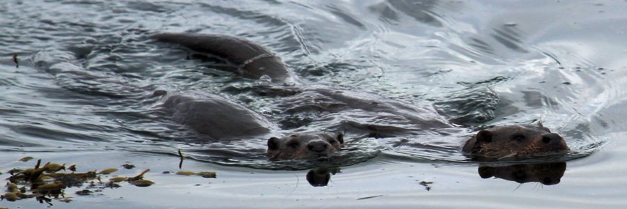
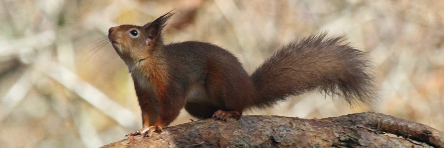
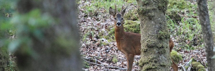
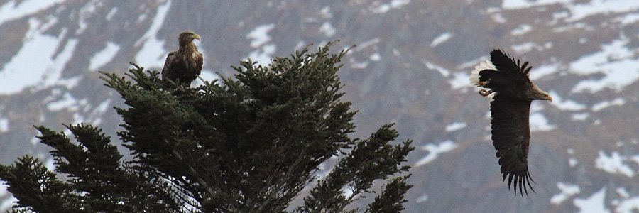
Look out for crossbills, siskins and red squirrels in the clumps of Scots pine; red deer, raven and raptors on the hills and crags, as well as for the tracks and signs of pine marten and wild cat. Look out for dipper and otter along the banks of the Strontian River.
There are few welcome benches on route, as well as the opportunity for a coffee or lunch break in Strontian or Ariundle.
Route Details
1. Park at car park at Strontian and head across the village green. Turn right at A861 and cross the road bridge over the Strontian River and then take the first right heading on the road to Bellsgrove and signposted Ariundle Forest Walks.
The road passes by some houses and the Forestry Planning and Development Service and then onto to Scotstown. The road initially runs parallel to the river, with some lovely woodland sections of mainly oak, with a ground flora of bluebell (Hyacinthoides non-scripta), lesser celandine (Ranunculus ficaria), wood anemone (Anemone nemorosa), cuckoo flower (Anemone nemorosa) and Dog’s Mercury (Mercurialis perennis); all resplendent in Spring. Look out for dippers and otter along the River. As you walk along the road, there are some lovely views of the surrounding hills, across rough pasture, interspersed with small copses.
The road passes by the Strontian Parish Church, a parliamentary church built in 1829 by William Thomson based on the ‘Telford’ design, but with later alterations in the 1920s. There are several interesting gravestones in the graveyard.
2. Turn right where the road bends following the signpost towards Aryundle. The road passes by the Ariundle Centre, with its tearoom and craft shop. Continue on the road following the way marker signs to Ardgour for a short distance. The routes passes by some fine specimens of Scots pine and some houses, and then through heathland before entering a wooded section as you approach the National Nature Reserve.
3. At the car park of the Nature Reserve, there is an interesting interpretation board introducing the walker to the nature, importance and history of these Atlantic oakwoods, as well as a welcome picnic bench.
Take the gravelled track by the interpretation board, as indicated by the green signposted embossed with an oak leaf. The track initially heads through heath interspersed with bog myrtle (Myrica gale) and skirted by Scot’s pine and coniferous plantation. There are some fine specimen larches and oaks of route, the latter intricately patterned with crustiose and shrubby lichens, as well as epiphytic polypody ferns. The Lobarion, Parmelion and Usneion communities are particularly well developed on these old oaks. The wetter areas also support multi-stemmed birches and willows. The woodlands also support a rich diversity of ground flora species and bryophytes, the former particularly resplendent in Spring.
4. Take the second right as indicated by the way marker post, heading through an old plantation. As you emerge from the plantation, there are good views of the Strontian River and the surrounding hills, the latter clad in mixed plantation of spruce, pine and larch. There is another interpretation board and the path crosses the river on a wooden bridge; a good place to look out for dippers.
5. Once across the river, turn right to join the gravelled path of the Fairies road (signposted). The left hand path takes you into the Ariundle woods on the Ariundle Forest walk (described separately).
The Fairies road route takes you through heathland initially following the banks of the boulder strewn, meandering Strontian River, the latter lined with alder, birch and gorse, and with coniferous plantation on the surrounding hills. The birches also support well developed communities of Parmelion and Usneion. Look out for raptors on the surrounding hills.
6. Cross the wooden bridge over an interesting boulder strewn tributary, whose boulders are themselves strewn with mosses, liverworts and lichens. Head through a gateway in the dry stone wall, marvelling at the abundance and diversity of the crustiose lichens on the boulders.
The route soon diverges away from the river for a short while and passes through grassland with alder-birch wood and coniferous plantation on the left, and lazy beds (historic parallel ridge and furrow agricultural system) on the right. The path follows a dry stone wall for a short distance.
7. Pass through a gap in a deer fence at the far end before joining the river again, the latter fringed with alder and birch woodland. The path passes by the Strontian Water Works, before veering away from the river again through a gate in a fence.
The path now heads uphill through heath and grassland, with bog myrtle (Myrica gale) in the wetter areas. The path runs parallel to another dry stone wall for a short distance. This section offers good views of Scotstown on the right.
The path continues to ascend fairly steeply leaving the wall behind, with good views of mature clump of Scots pine and the cemetery on the right, and views of Scotstown behind. Soon the walker achieves wonderful panoramic views of the village and surrounding crags. The paths then veers behind a clump of birch and through more Calluna heath land, with some birch encroachment.
8. Pass through a gate in the deer fence and then across a small wooden bridge spanning a boulder strewn tributary. The path then passes a section of birch woodland, before returning to Calluna heath. There are tantalising glimpses of Loch Sunart ahead.
The path follow a deer fence on right and provides some closer views of the clump of mature Scots pine seen earlier. Look out for crossbills and siskins and, if you are lucky, red squirrels. Look out for corvids, raptors and red deer on the hills, and the tracks and signs of pine marten and wild cat.
9. The path passes by a viewpoint with a welcome bench, affording good views of Loch Sunart and Strontian, and more glimpses of Ben Resipole, behind the hills in the foreground.
After the viewpoint, the path begins to descend through birch woodland, with scattered gorse bushes, and yellow flag irises (Iris pseudacorus) in the wetter areas near the village. As you descend there are also some fine specimen exotic conifers on the right, part of the Community woodland.
10. At the end of the Fairies road, pass through a wooden gate into the Community Woodland. As you descend through the community woodland, you pass by some fine labelled exotic species, including Grand fir (Abies grandis), larch (Larix deciduas), Lawson Cypress (Chamaecyparis lawsoniana), Nobel fir (Abies procera), Corsican pine (Pinus nigra) and Monkey Puzzle/Chilean Pine (Araucaria araucana). Veer left at the blue marker post and then right. The woodlands are carpeted with cuckoo flowers, lesser celandine and bluebell in Spring. There is also an interpretation board at the end of this section of the walk. This is a particularly interesting section of the walk, and a real treat for dendrologists.
11. The walk emerges at the Community Composting Centre. Turn right and head towards a T-junction. At the T-junction (Dalmhor road), turn right again and head across the village play area and back towards the village green. Stop off for a picnic on the benches or have a coffee or lunch in the café.
starting grid ref
Links to useful Information
terrain
length
Safety
Route details and information are provided in good faith. All walking is potentially dangerous and it is your responsibility to ensure that you are properly dressed and equipped, have a map and compass, have checked and planned your route in advance and are able to navigate effectively. Maps displayed on these walking pages are intended as an overview of the walk and are NOT suitable for navigation. Please follow the Scottish Outdoor Access Code and respect landowners and residents' privacy. Always check the weather forecast and let others know if you are walking in the hills.

