Ariundle Oakwoods
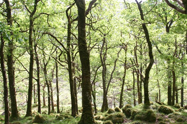
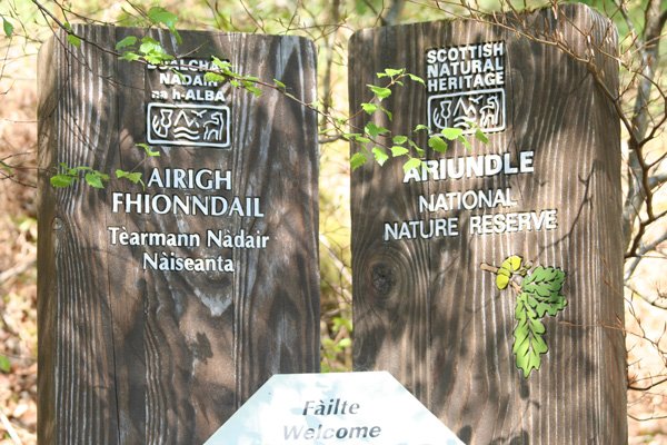
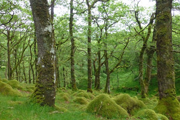
The Ariundle National Nature Reserve is a lovely place to visit at any time of the year, and there are two lovely walks through the woods and hills. The Reserve is a fine example of ancient coastal Atlantic oakwood and is recognised for its old oaks supporting a huge diversity and abundance of ferns (including male fern (Dryopteris filix-mas), lady fern (Athyrium filix-femina), hard fern (Blechnum spicant) and Wilson's filmy fern (Hymenophyllum wilsonii)) mosses, liverworts and lichens. Over 200 species of lichen have been recorded on site, including the nationally rare, Biatora vernalis, and the nationally scarce, Norwegian specklebelly (Pseudocyphellaria norvegica). Over 70 species of moss and over fifty species of liverwort have also been identified in the woodlands.
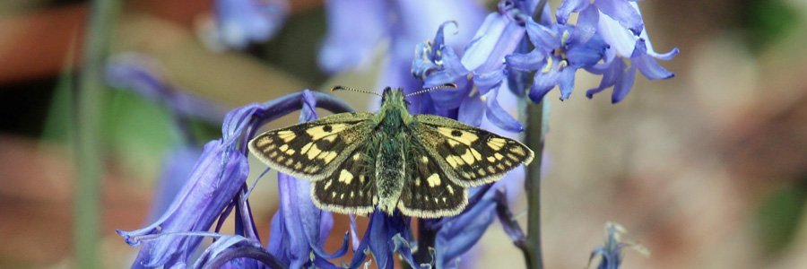
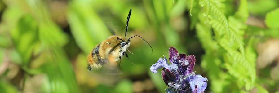
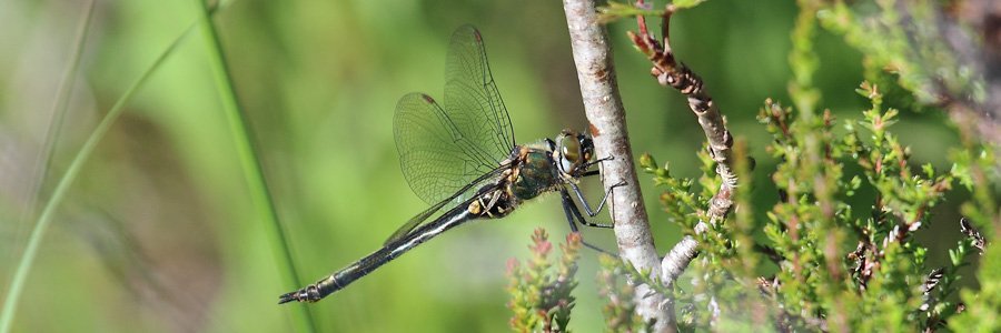
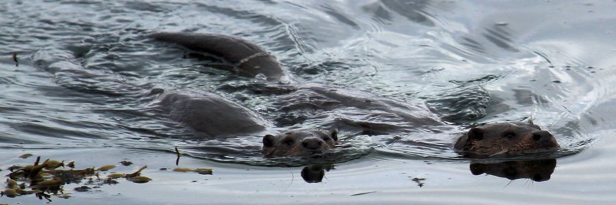
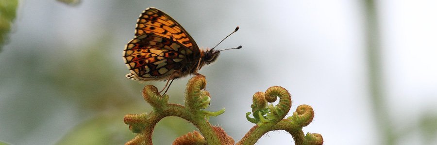
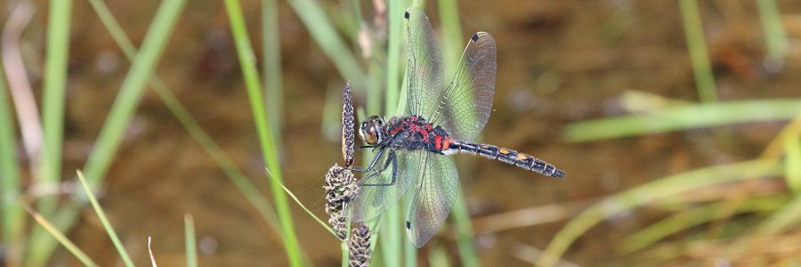
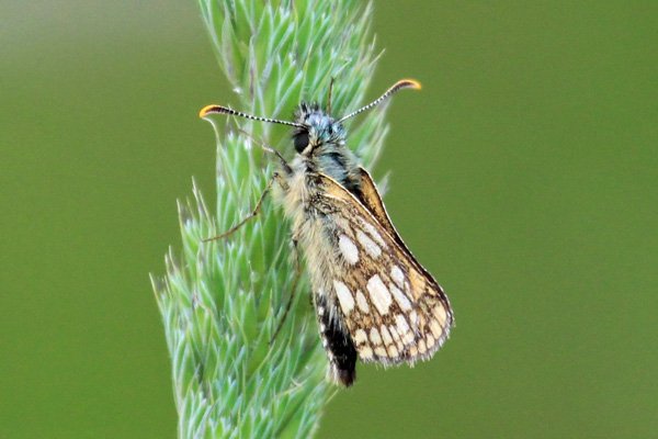
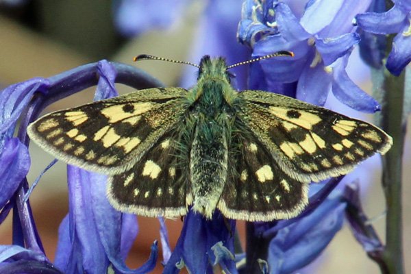
Look out for chequered skipper, pearl-bordered fritillary, small pearl-bordered fritillary and the rare northern emerald dragonfly on the wing in summer. The reserve also supports a range of woodland birds, including redstarts, warblers, tree pipits, tits, as well as breeding populations of crossbills. Look out for tracks and signs of pine marten, badger, wildcat, pipstrelle bat and otter.
Option1
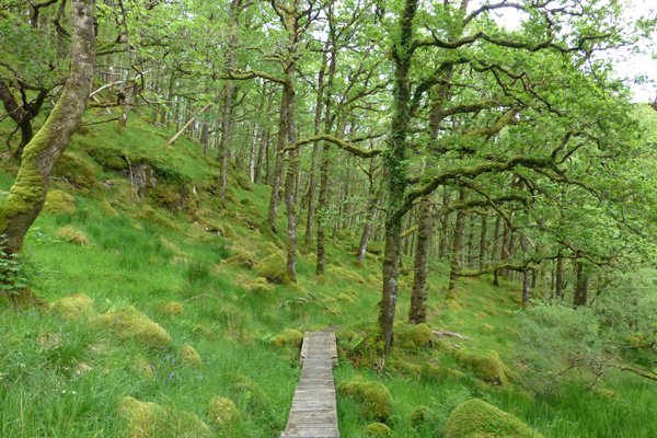
A shorter route through the oakwoods, mainly on gravel tracks and board walls with is an optional loop to a ruined croft house (woodland walk). There are some interpretation boards on route explaining the history, culture and wildlife of the area.
Option 2
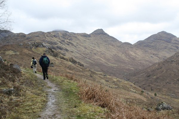
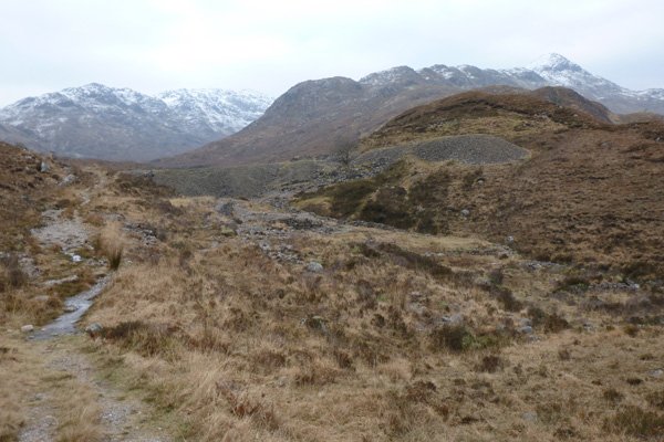
An interesting but fairly strenuous walk through Ariundle Oakwoods to the former lead mines at Bellsgrove via Ceann a’Chreagain. The route traverses and follows the River Strontian for a short while (providing an opportunity to spot dippers before heading back into the ancient oak woodland, and then up onto moorland and scree of the old mine works. The woods supplied charcoal for the lead mine and Bonawe Furnace on Loch Etive in the 18th and 19th century.
Look out for the crystallised galena, a natural mineral of lead (ii) sulphide and a commercially important source of lead. Galena was discovered in the area by Alexandra Murray and resulted the opening of the lead mines in Strontian in 1725. The mineral strontianite, named after the village, was discovered in the late 18th century, from which the element strontium was isolated by electrolysis by Humphry Davy in 1808. The element became important in the production and processing of sugar from sugar beet.
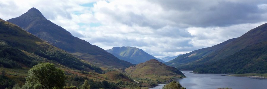
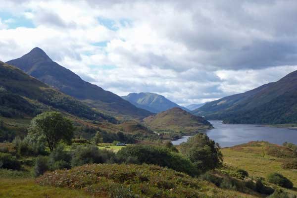
There are fine views of Drium Garbh, Sgurr Dhomhnuill and Sgurr na h-Ighninn on route.
Route Details- Option 1
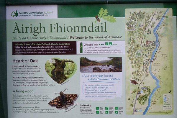
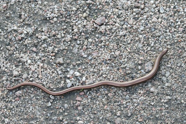
1. Park at the car park at Ariundle National Nature Reserve, where there is an interesting interpretation board describing the nature, importance and history of the woods. Take the gravelled track by the interpretation board, as indicated by the green signposted embossed with an oak leaf. The track initially heads through heath interspersed with bog myrtle and skirted by Scot’s pine and coniferous plantation. There are some fine specimen larches and oaks of route, the latter intricately patterned with crustiose and shrubby lichens, as well as epiphytic ferns. The Lobarion, Parmelion and Usneion communities are particularly well developed on the old oaks. The wetter areas also support multi-stemmed birches and willows. The woodlands support a rich diversity of ground flora species and bryophytes, particularly resplendent in Spring. Look out for slow worms basking in the sun on the track.
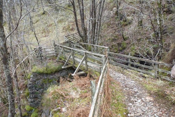
2. Take the second right as indicated by the way marker post, heading through an old plantation. As you emerge from the plantation, good views are afforded on Strontian River and the surrounding hills, the latter clad in mixed plantation of spruce, pine and larch. The path crosses the river on a wooden bridge; a good place to look out for dippers.
3. Once across the river, turn left and follow path running parallel to the river. The path to the right is part of the Fairies walk (described separately). The path crosses Calluna-dominated heath with purple moor grass/ rough pasture with impressive views of the surrounding hills. There is an interesting interpretation board describing village life of ‘People of the White Hill’, belonging to the Clan Cameron. The former settlement of Torban was abandoned in the early nineteenth century.
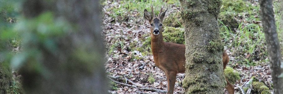
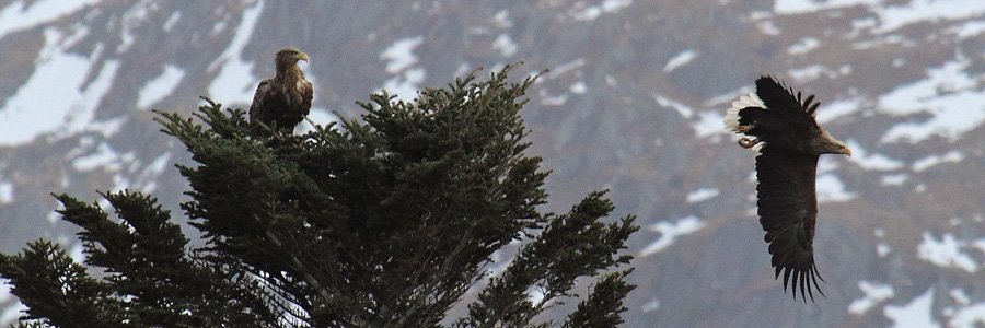
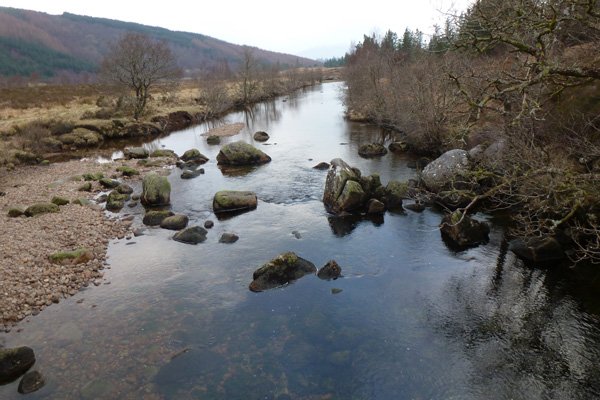
The river is particularly lovely in Spring and Summer with its grey /green boulders contrasting with the yellow hues of the abundant gorse bushes lining the bank. The hills on the far bank are also clad with Atlantic oak woodland, interspersed with Scots pine, and contain some particularly interesting old contorted oaks and ancient pines. Look out for the tracks and signs of pine martens, as well red deer on the slopes of the hills and golden eagle soaring high amongst the crags. There are fine views of the surroundibg hills in the distance, including Drium Garbh, Sgurr Dhomhnuill and Sgurr na h-Ighninn on route.
Just before the wooden bridge across the river there is a welcome bench, ideal for a picnic, admiring the views or a spot of dipper or otter watching on the river, if you are lucky.
4. Cross the bridge and continue for a short while by the side of the river through Calluna/Erica heath with Vaccinium myrtilus and Blechnum spicant. The path then heads into the National Nature Reserve, indicated by an interpretation board. The nature reserve contains one of the finest examples of Atlantic oak woodland in the Western Highlands, and has been under continuous woodland cover and consists mainly of oak and birch, interspersed with hazel, rowan and Scots pine. The first section of the walk is mainly over boardwalk through birch woodland with abundant ground bryophytes communities, merging into drier heath flora at the end of the boardwalk.
5. Turn left at the T junction and join the track heading back through the woodlands to the car park. The path to the right leads onto the former lead mines at Bellsgrove via Ceann a’Chreagain (Option 2). On your return through this lovely section of woodland, you can take an optional woodland walk by turning right by the signpost. Alternatively, you can continue on the level track back to the car park.
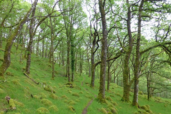
6. If taking the woodland walk, turn right and ascend fairly steeply ion the path through some lovely oak woodland, with Vaccinium myrtilus dominated understory, interspersed with mixed bryophyte communities on rocks and ground, and Blechnum spicant. The walk initially follows a small water course before traversing the hillside, parallel to the track below for a short section. There are some lovely views of the hills above.
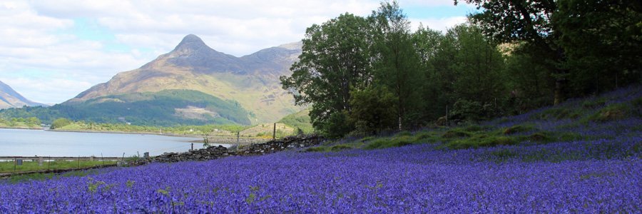
7. The path soon continues to ascend again giving an opportunity to admire some fine old oak abundantly endowed with epiphytic ferns, mosses and lichens. The path crosses a few small, streams and eventually emerges from the woodland onto more open ground, skirted by birch and oak woodland. In Spring, the ground flora is a riot of colour when the wood anemones, wood sorrel, lesser celandine, primrose, bugle and bluebells come into bloom, although later may become dominated by bracken in the open areas. The woodlands are full of bird song in Spring and Summer; look out for a range of resident and migrant woodland birds, including tree pipits, wood warblers and redstarts. Look out for the rare chequered skipper in the wetter glades, the chequered skipper is confined to only a few regions in Scotland
8. The path passes by a deserted croft house on the right before descending gradually through the woodland to rejoin the track.
9. When you reach the track at the bottom, turn right and continue back through the woodland on the same outbound route to the car park, ignoring the path in the left.
Option 2
After passing from the boardwalk section of the National Nature Reserve, turn right at the T-junction and follow the track up through the woodlands and onto moorland above to the lead mines. Either return by the same route, or where the path diverges at the stream crossing, take the left hand path for an alternative loop to view the waterfalls and a ruin dwelling, before heading onto a track to rejoin your earlier route (see OS map for details).
Other walks in the area. There are number of much shorter walks in Strontian, including the Strontian Community Walk and Phemies Walk. Full details are available in walking guides to the area and at the tourist information centre at Strontian.
starting grid ref
terrain
length
Safety
Route details and information are provided in good faith. All walking is potentially dangerous and it is your responsibility to ensure that you are properly dressed and equipped, have a map and compass, have checked and planned your route in advance and are able to navigate effectively. Maps displayed on these walking pages are intended as an overview of the walk and are NOT suitable for navigation. Please follow the Scottish Outdoor Access Code and respect landowners and residents' privacy. Always check the weather forecast and let others know if you are walking in the hills.

