Tennyson's Waterfall
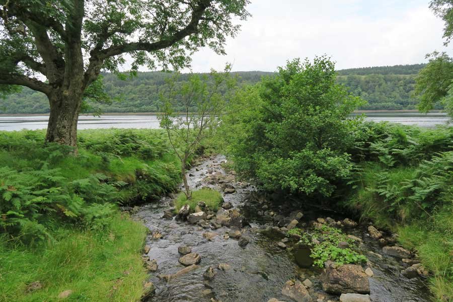
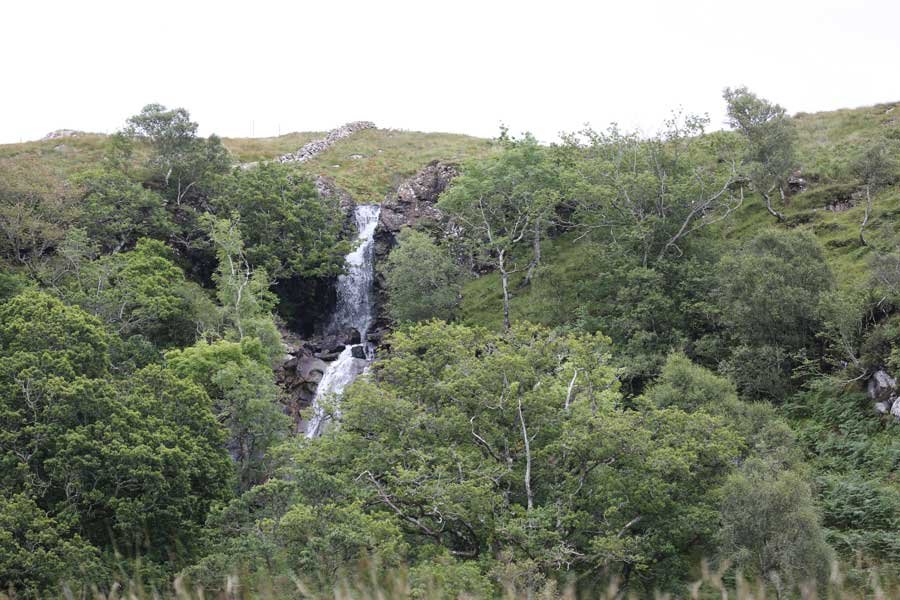
An interesting walk to a an impressive waterfall, named in honour of Alfred, Lord Tennyson who was a regular visitor to Old Ardtornish House in the 19th century. The route follows a track along the shores of Loch Aline, passing by an old lime kiln, before ascending the lower flanks of Goirtein Dearg on a steep path by a burn for approximately 500 metres.
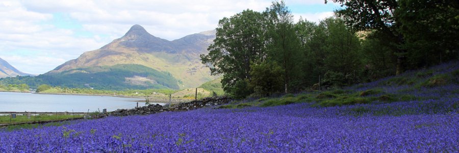
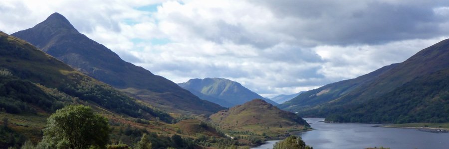
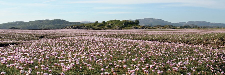
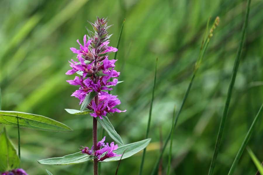
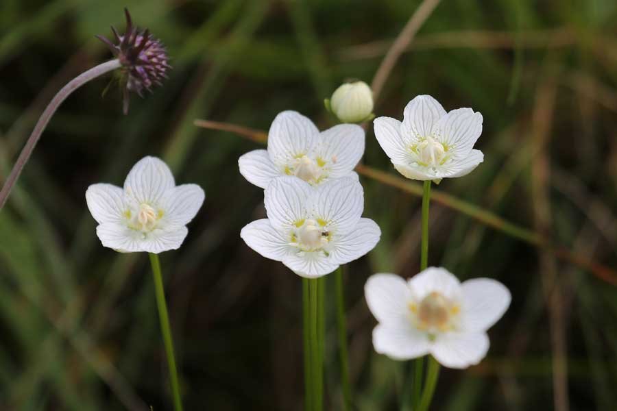
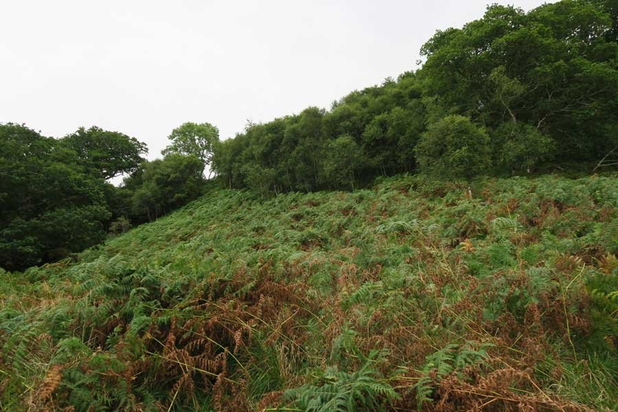
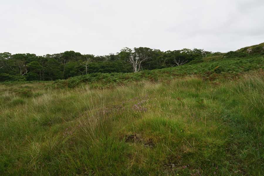
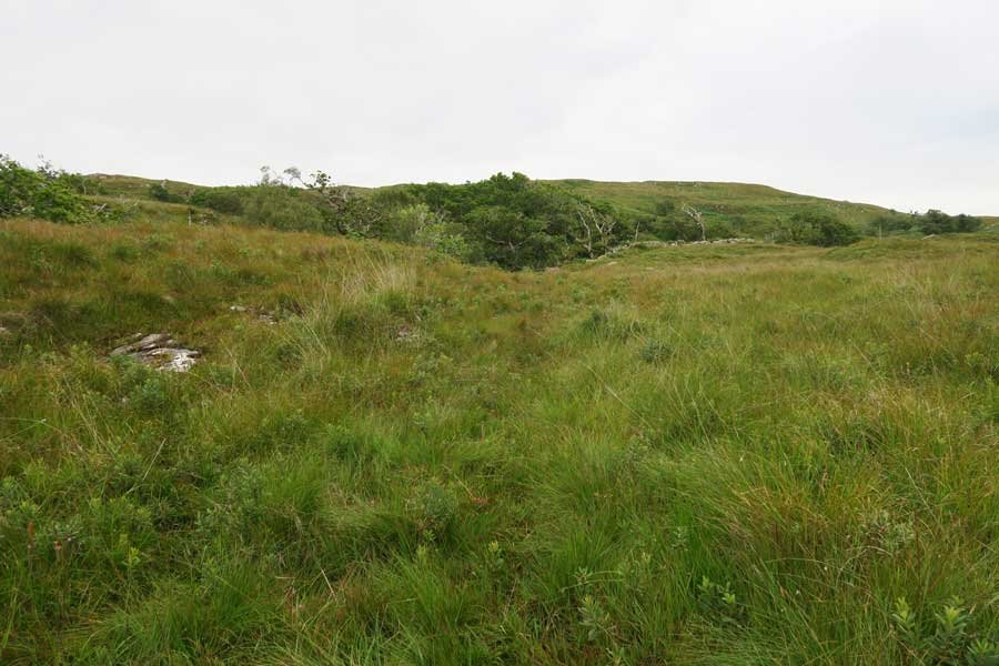
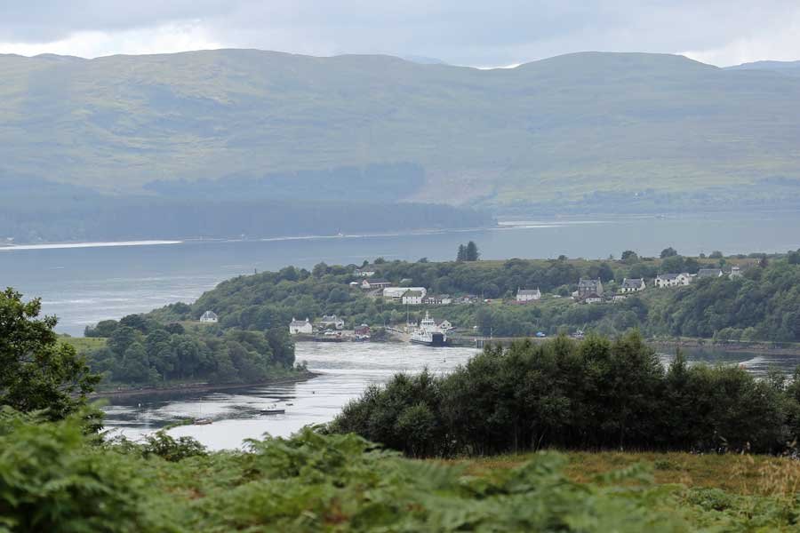
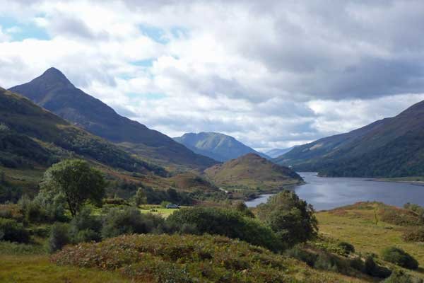
Natural Landscape: The walk affords some fine coastal views of Loch Aline and Morvern Hills, the latter exhibiting the characteristic 'trap’ topography caused by repeated lava flows from the ancient Mull volcano. There are also some lovely sections of mixed deciduous woodland, wet heath, marsh and wet grassland. The mosaic of habitats is dappled with colour throughout Spring and Summer, with the yellows of flag iris, tormentil, bog asphodel and hawkweeds; the whites of meadowsweet, eyebright, yarrow and Grass of Parnassus; the pinks of marsh valerian, red clover, cross-leaved heath, and heath-spotted orchids; the blue of harebell, and the lilacs and purples of marsh woundwort, marsh thistle, knapweed, purple loosestrife, heather, seal heal and devil's bit scabious, according to season and habitat.
There is a lovely strip of native coastal woodland which has been designated as a SSSI, and contain ash, oak, birch, hazel, alder, rowan, poplar and willow.
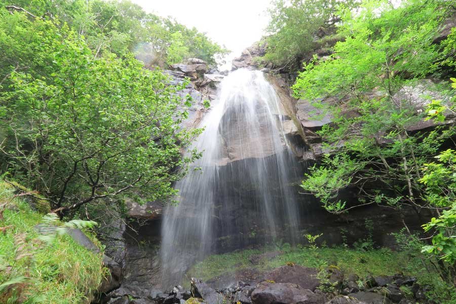
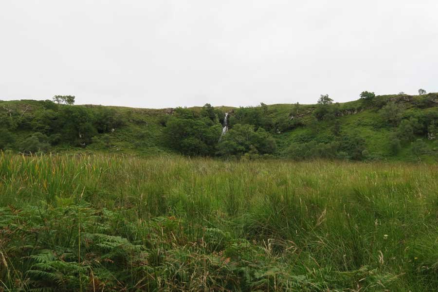
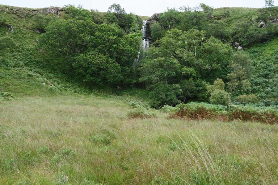
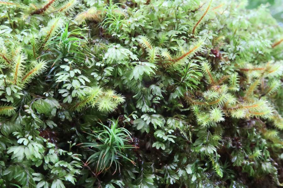
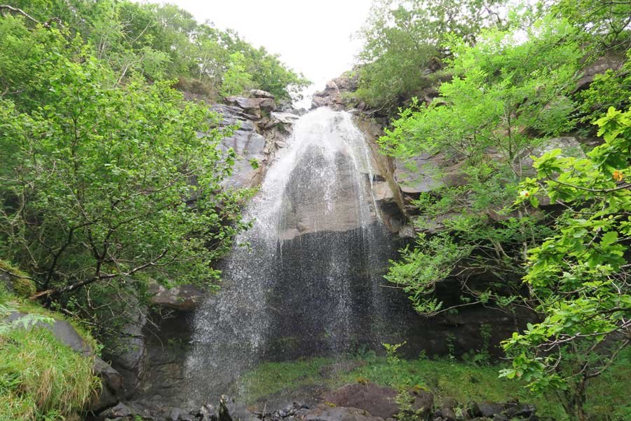
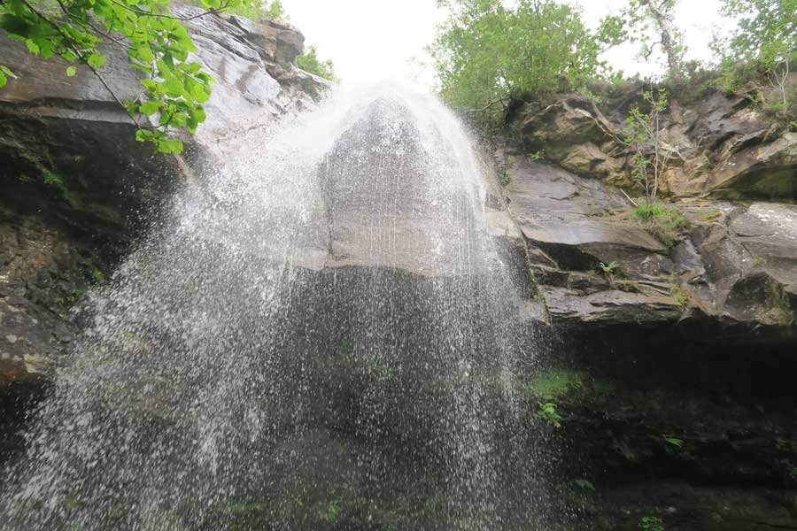
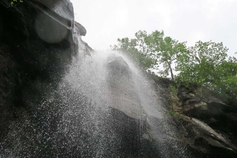
The destination of this walk, the stunning waterfall, cascades over igneous bedrock (basalt) formed approximately 56 to 66 million years ago in the Palaeogene. The waterfall is flanked by mixed deciduous riparian woodland with a ground cover of lemon scented buckler fern, hard fern, primrose and violets, and is a joy to behold. A profusion of liverworts, mosses and ferns thrive in this humid atmosphere, clinging to rock face, and cloaking the boulders and trunks and boughs of the flanking vegetation.
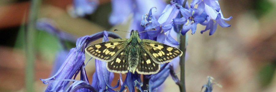
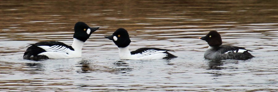
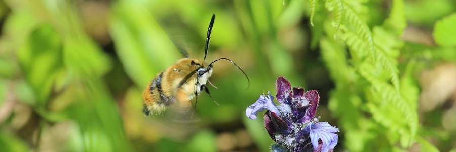
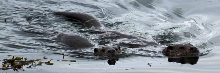
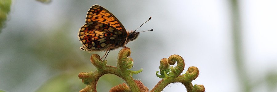
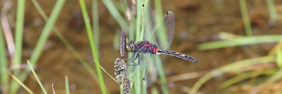
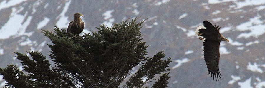
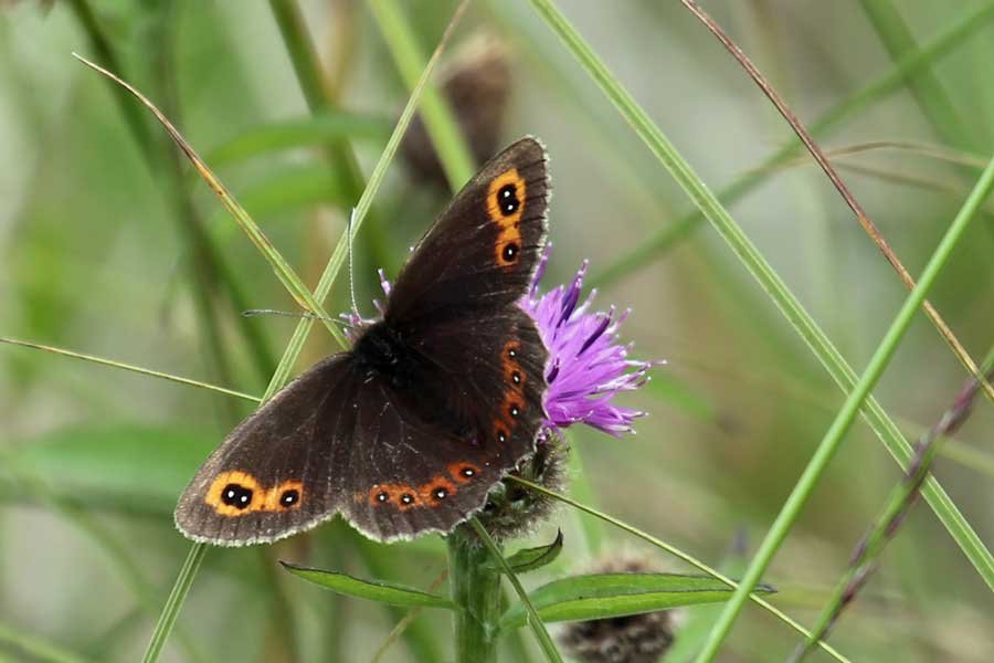
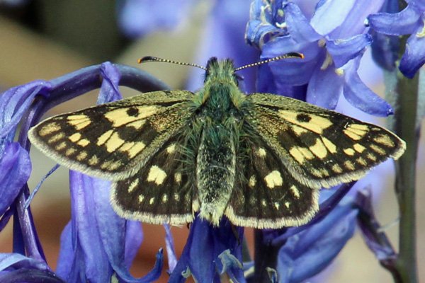
Look out for otters and seals along the shores of Loch Aline, as well as a range of coastal birds. The walk also provides some good opportunity for some butterfly watching.
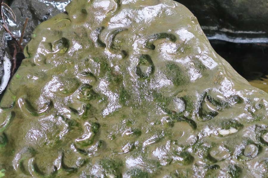
There is also an opportunity to search for fossils of Gryphaea (Devil's toenails) in the Pabay Shale Formation (formed approximately 183-199 million years ago) through which the 'Fossil Burn' flows. Gryphaea is an extinct genus of Jurassic bivalves in the family Gryphaeidae which lived on muddy sea beds. Fossils of these extinct oysters are identifiable by their characteristic pair of unequal values (shells) joined together by a hinge. Erosion of the shale by the burn has revealed their presence of these ancient bivalves.
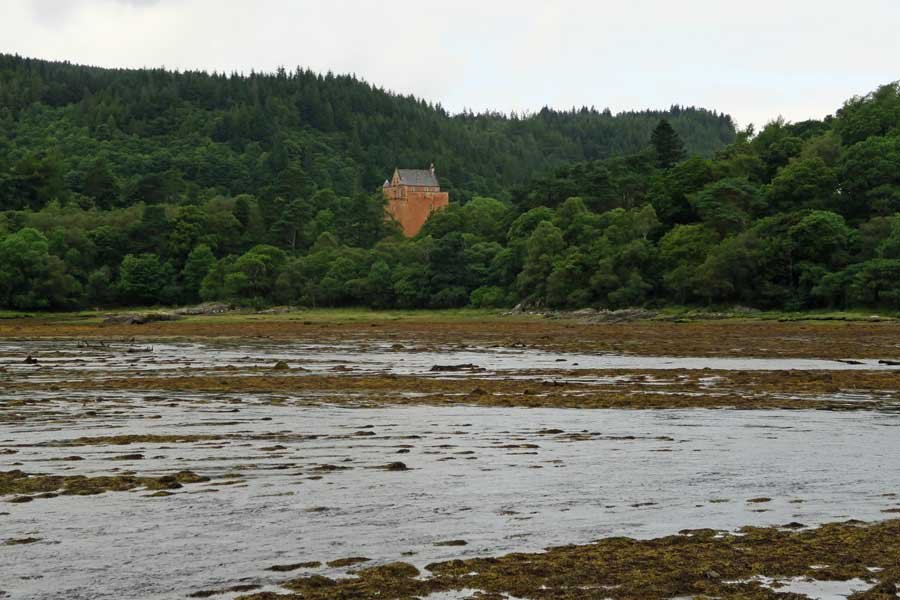
Designed Landscape: Highlights of the designed landscape include views of the exuberant Ardtornish House with its 'barged-boarded' gabled ranges, mullioned windows, 'piend-roofed' dormers, iron and glass verandah and a flurry of chimney stacks and Germanic towers.
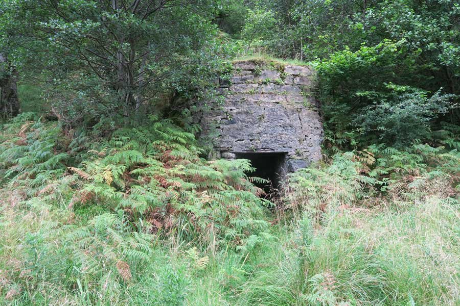
The walk also passes by a derelict lime kiln, built into the hillside, and one of many that can be seen along the shores of Loch Aline. Locally quarried limestone was converted in the kilns into quicklime by heating to temperatures in excess of 800oC in a process known as 'calcination'. This involved stacking alternate layers of fuel (charcoal) and limestone in a ratio of approximately 1:4 or 1:5, above a fire pit. Once alight, the kiln was covered and sealed, and the limestone allowed to cook for the desired amount of time. The calcination process resulted in the thermal decomposition of the limestone and the release of carbon dioxide (CaCO3= CaO + CO2 (g)). The residual quicklime was either used directly as a fertiliser or hydrated for building purposes (e.g. lime mortar/lime wash).
On the far side of the loch, you can also see silica sand mine directly below the village of Lochaline. Silica sand consists of loosely cemented or unconsolidated silicon dioxide (SiO2). Its high proportion of silica (up to 99%) in the form of quartz makes it an ideal raw ingredient of glassmaking (high grade) and for a wide range of other industrial and horticultural applications. The Cretaceous white sandstone deposit was laid down 135 million years ago and overlain by Tertiary basaltic lavas. The sandstone seam is 3-12 m in thickness, with the layer of pure white sand between 5- 8 metres deep, a few meters below the surface.
The mine began its operations in 1940 and continued in service until 2008. At its peak, 65 men were employed on site, with an annual production of 100, 000 tonnes of sand. In September 2012, the mine was officially reopened as a joint venture between Minerali Industriali and NSG/Pilkington.
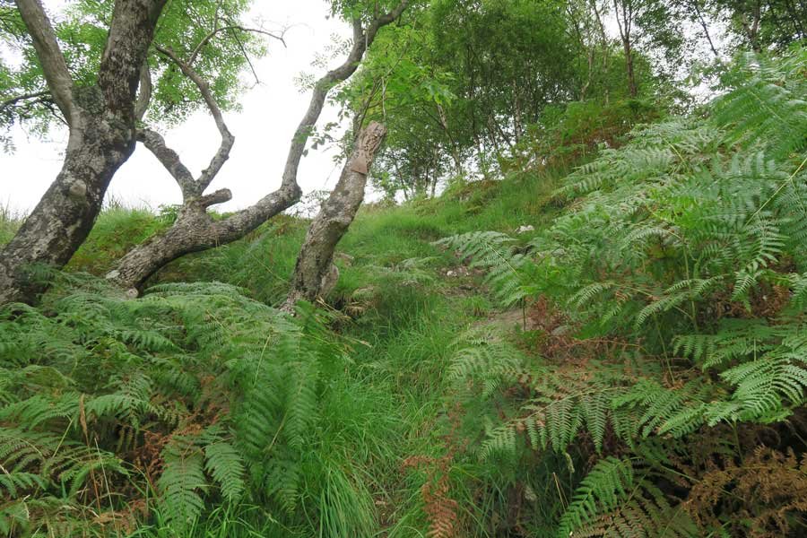
The route is on faint paths and can be steep and slippery in places. You will also need to cross the burn to reach the waterfall. Walking boats and poles are recommended.
Route Detail
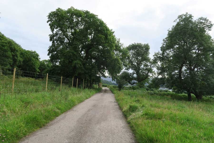
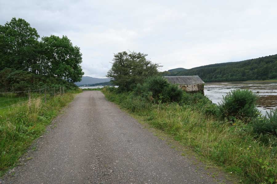
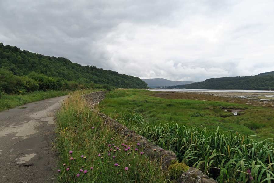
1. Park at the Ardtornish Estate Office (with permission). Return to the minor road and turn left onto the track signposted Old Ardtornish Estate, Boat House and Innimore Bay). The track skirts Loch Aline affording some fine coastal views.
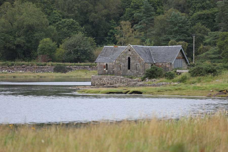
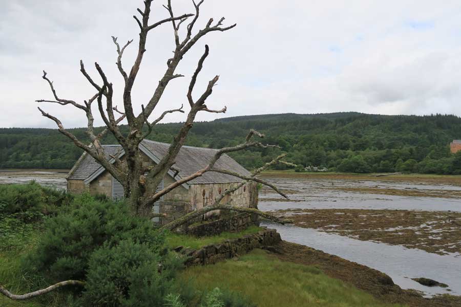
2. You can take a short detour at the start of the walk to the boat house if you wish to sit and admire the lovely coastal scenery, the hills of Morvern and distant views of Ardtornish House.
3. Continue on the tarmac track until you reach the lime kiln built into the hillside on the left hand side and next to a wooden bridge over a burn (Fossil Burn).
3. Pass through the deer gate to explore the historic lime kiln and the 'fossil burn' whose rocks contain the fossils of the Jurassic oyster, Gryphaea.
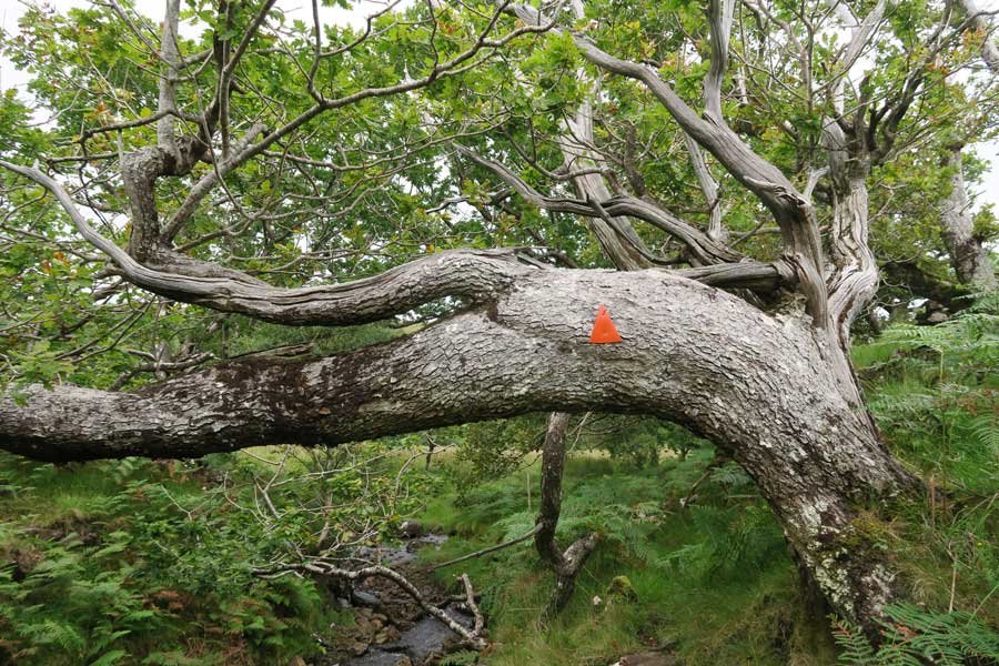
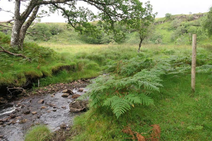
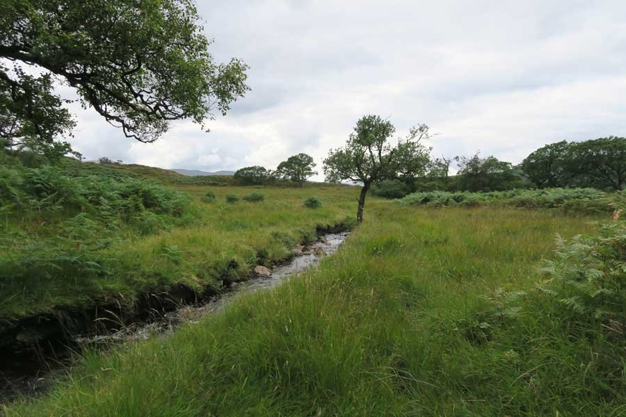
4. Head up by the side of the burn and pick up a faint path which heads up hill through damp grassland and heath. As you climb the hillside, look out for a wooden post with a red arrow. From here the path continues by the burn as indicated by another red arrow on an oak.
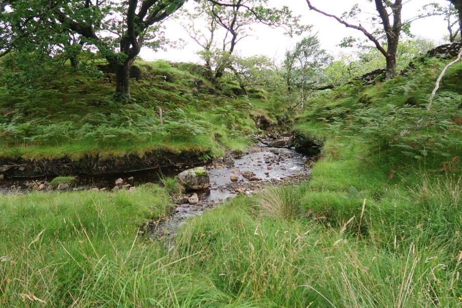
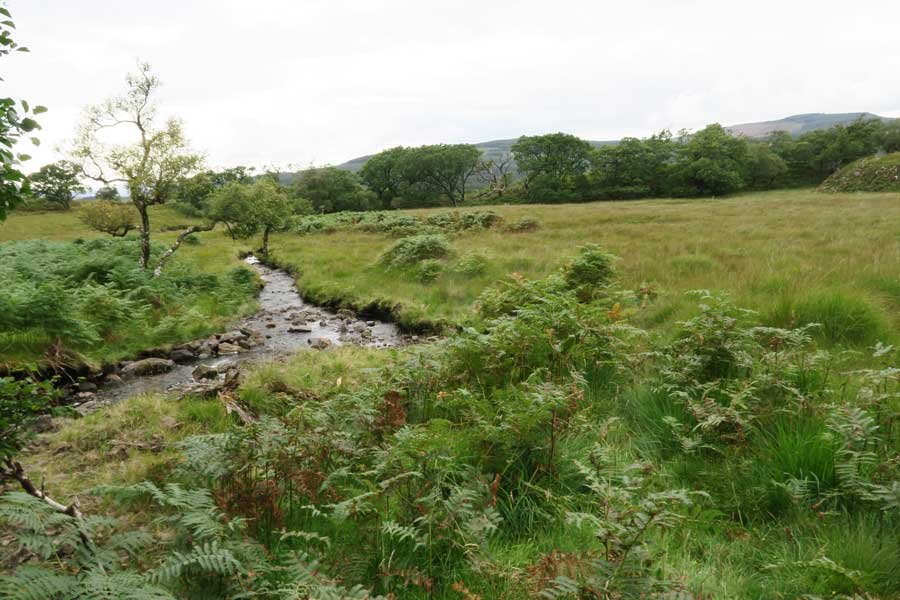
5. Continue along the side of the burn until you reach another wooden post and the path is no longer obvious. At this point cross the burn at a suitable place and head towards the waterfall which is now in view in the distance, crossing carefully over the damp grassland/bog. There is a faint path which you may be able to pick up.
6. As you approach the falls, you will need to clamber over some large boulders, which can be very slippery, particularly after wet weather. Please take particular care at this stage in the walk and use your judgement. Once at the base of the falls, you are rewarded by a stunning spectacle. Take time to immerse yourself in this sensory extravaganza and be refreshed by the cooling spray on a warm summers day.
7. Once you have explored the waterfall, return by the same route in order to cross the burn. Once you have crossed the burn, either continue to retrace your steps or as you descend head towards the fence and pass through the gateway and then continue down towards another wooden post, following a faint boggy path. Continue descending until you reach the edge of the woodland and then head down towards the fence line and deer gate.
There are some views the lovely views of Loch Aline on your return.
starting grid ref
terrain
length
Safety
Route details and information are provided in good faith. All walking is potentially dangerous and it is your responsibility to ensure that you are properly dressed and equipped, have a map and compass, have checked and planned your route in advance and are able to navigate effectively. Maps displayed on these walking pages are intended as an overview of the walk and are NOT suitable for navigation. Please follow the Scottish Outdoor Access Code and respect landowners and residents' privacy. Always check the weather forecast and let others know if you are walking in the hills.

