Fascadale and Port Eigin-aig
A lovely walk along a glen from Fascadale Bay to the shingle inlet of Port Eigin-aig on the Ardnamurchan peninsula, with good chances of seeing raptors and red deer.
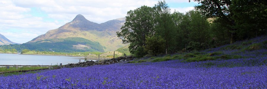
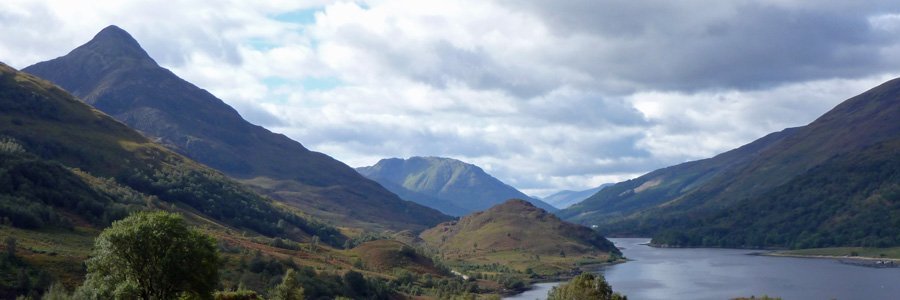
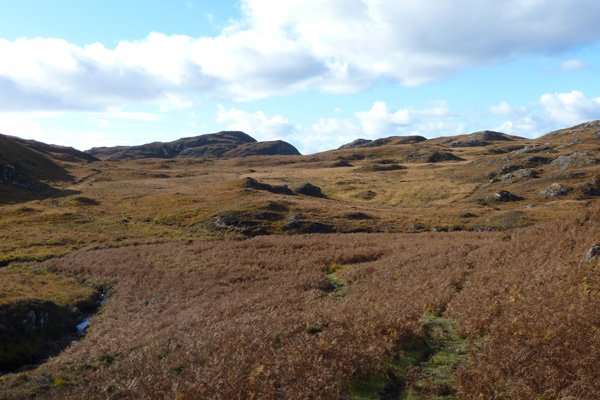
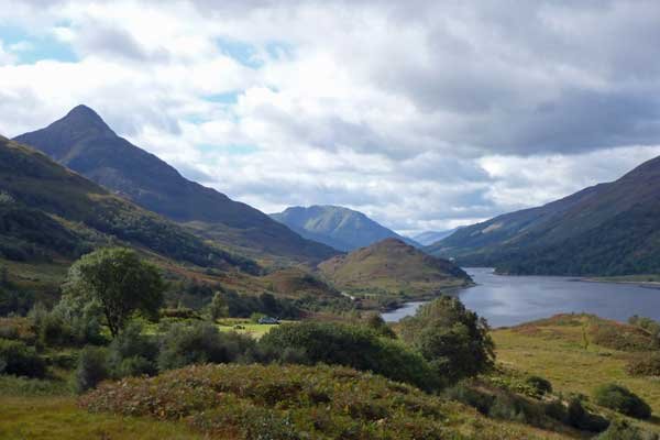
There are some lovely views of the surrounding low hills of the Glen, dominated by Meall an Fhir-eoin and the surrounding crags on the left (part of Ardnamurchan ring dyke system), as well as intermittent coastal views of the Small Isles through gaps in the hills on the right.
The bedrock geology of the region is volcanic, and includes the Palaeogene Ardnamurchan Central Complex Agglomerate, Quartz-Gabbro and Quartz-Microgabbro, with small exposures of basaltic lava from the Mull Lava Group. The southern hills are part of Centre 3 of Ardnamurchan Ring-dyke Complex, whilst some the northern hills and coast are part of Centre 1, consisting of granophyric granite.
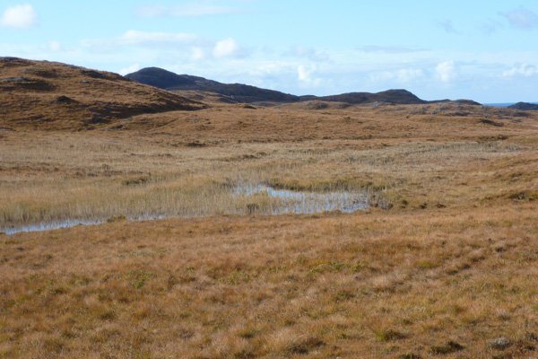
The route takes you through a short section of rough pasture by Fascadale Bay, and then across wet heath and bog towards the far end of the wide glen. The heath vegetation is dominated by heather (Calluna vulgaris) with bell heathers (Erica tetralix and E. cinerea), purple moor grass (Molinia caerulea ), bog myrtle (Myrica gale), bog asphodel (Narthecium ossifragum) and carnivorous sundews (Drosera spp) and butterworts (Pinguicula spp). There are also a variety of sedges and rushes, including deer grass (Scirpus cespitosus) and slender (Carex lasopcarpa), according to local conditions, as well as a few scattered contorted oaks along the stream side towards the far end of the glen.
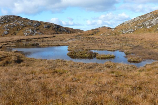
The route crosses over some small water courses and by two lochans; Lochan Dubh, and a lovely smaller islet-studded lochan, fed back Slocdh Dorcha. Lochan Dubh is fringed and almost infilled by Phragmites australis (Common reed). The other lochan with its heath covered mini islets supports bog pondweed (Potamogeton polygonifolius), bog bean (Menyanthes trifoliata) and water horsetail (Equisetum fluviatile).
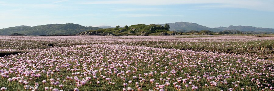
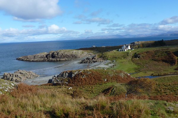
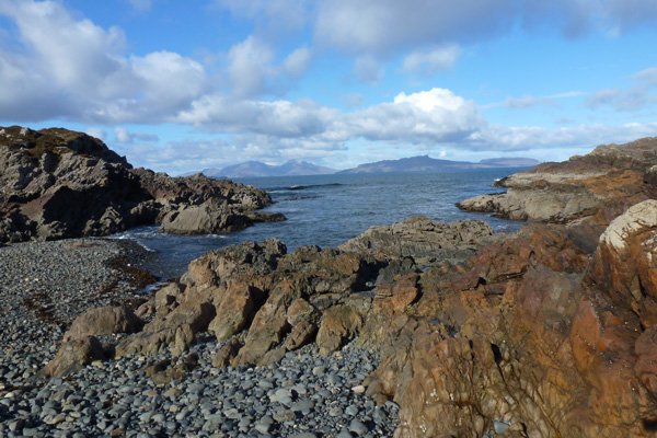
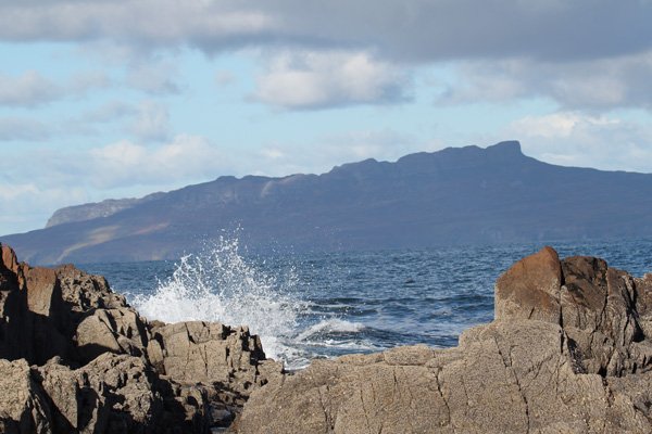
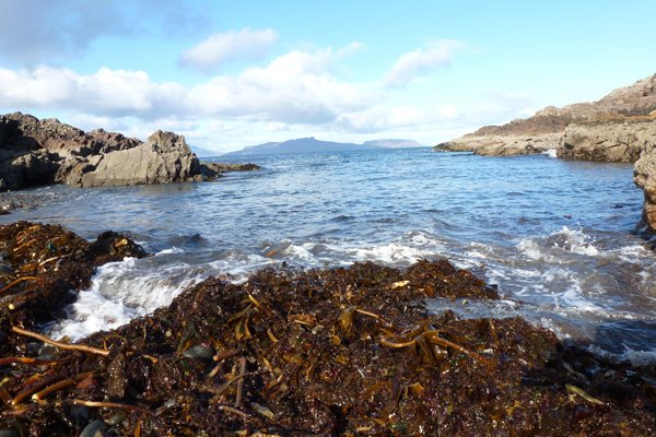
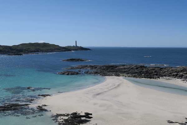
The route takes you to the small inlet of Port Eigin-aig, where cattle from the islands where landed on the mainland by the cattle drovers. This beautiful shingle beach, with its complex and green, grey and purpled hued geology is part of the Ben Hiant intrusion, with some Jurassic sedimentary shales and limestone. The outcrops and boulders are strewn with orange, white, grey, green and black crustiose lichens and green fruticose lichens, with thrift (Armeria maritima) and heather (Calluna and Erica) on rocky ledges. The waves crashing against the barnacle and limpet studded rocky shoreline and against the shingle beach make for a truly mesmeric experience. The views to Skye, Eigg, Muck and Rhum are magical on a bright hazy day.
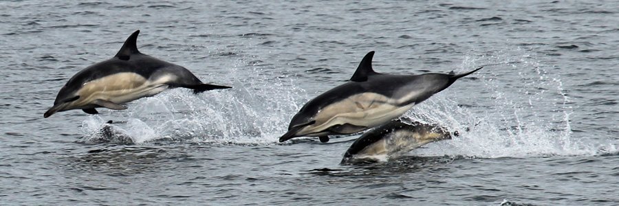
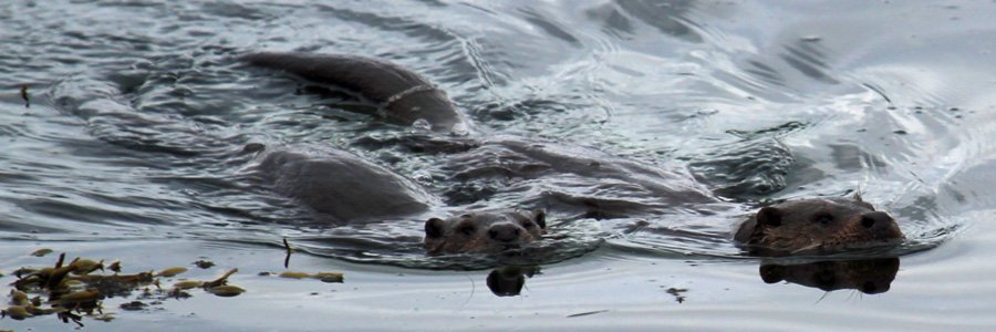
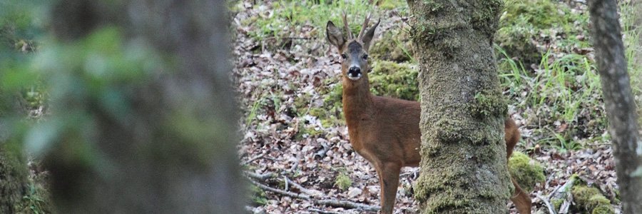
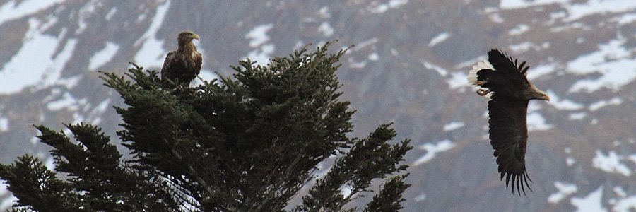
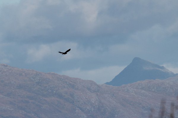
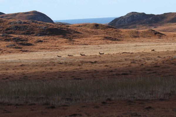
Look out for raptors and corvids (including golden eagles and ravens) on the crags, red deer on the hills, and white-tailed eagle, rock pipits, otters, seals and cetaceans on the coast.
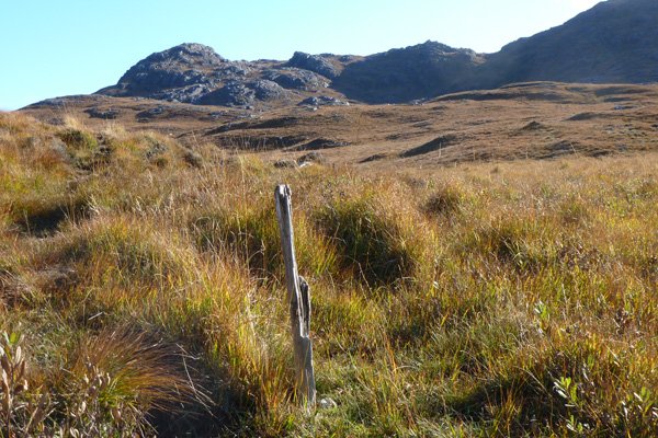
The path is waymarked by wooden post but is often indistinct. You will also need to cross some small water courses. The path can be very boggy and waterproof boots and walking stick recommended. Some map reading skills may be required.
Route Details
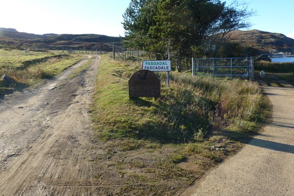
1. Park in the large gravelled car parking area at the end of Fascadale, by the cattle grid, on the Ardnamurchan peninsula.
Take the track down to Fascadale Lodge and go through the metal gate on the right. Pass through another metal gate and out onto Fascadale Bay.
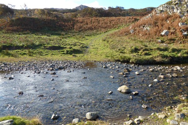
Follow the grassy/stony path over rough pasture down the hillside and across the river (River Fascadale) using stepping stones (this may be a little tricky at high water).
2. Once across the river, head uphill keeping left, skirting by some clumps of birch and some isolated birch trees clinging to the far bank.
3. Cross the dyke and veer left of two craggy knolls, as marked on OS map. The path is a little indistinct at this stage.
The path varies on route from being well marked to indistinct; in the latter case look out for the wooden waymarker posts. Navigation is assisted by locating the marker post ahead, where possible.
The route heads up the glen, keeping close to the flanks of low hills on the right.
4. The route passes by two lochans and then through a pair rusty gate post. After the second lochan, the route skirts by a stream which becomes obvious just before you begin to ascend.
5. Veer right (north) either at a ford, or just before, on a bracken-trampled path to head towards the small inlet of Port Eigin-aig. The route follows a stream heading north on a well defined path, descending to the lovely shingle inlet. Lovely views are afforded on Skye, Eigg, Muck and Rum on a fine day. The beach is a great place for a picnic.
6. Return by the same route.
Alternatively you can continue the walk onto Glendrian (there and back) if you wish to take a longer walk. In the latter case, take the south-west path (veering right) at ford on your return. However, this route requires considerable map reading skills and should only be done on a clear day.
starting grid ref
Links to useful Information
terrain
length
Safety
Route details and information are provided in good faith. All walking is potentially dangerous and it is your responsibility to ensure that you are properly dressed and equipped, have a map and compass, have checked and planned your route in advance and are able to navigate effectively. Maps displayed on these walking pages are intended as an overview of the walk and are NOT suitable for navigation. Please follow the Scottish Outdoor Access Code and respect landowners and residents' privacy. Always check the weather forecast and let others know if you are walking in the hills.

