Glendrian and Port Eigin-aig
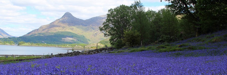
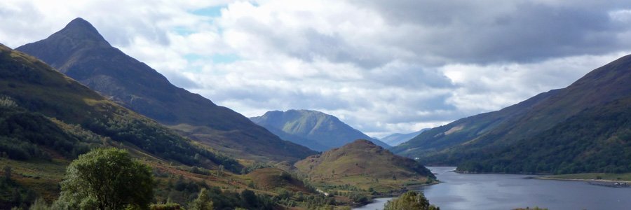
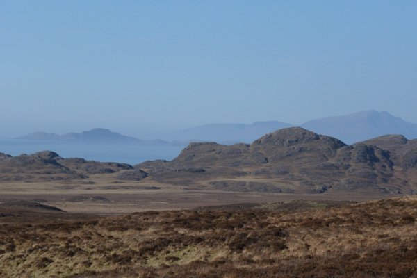
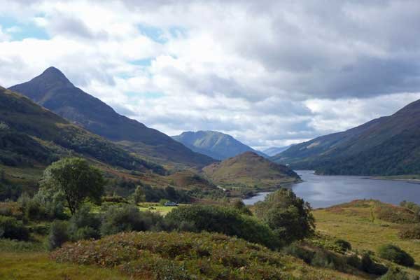
A stunning walk affording panoramic views of a volcanic ring dyke and caldera, the remains of an ancient volcano on the Ardnamurchan peninsula. The walk also offers an opportunity to explore the deserted village of Glendrian (option 1) and as well as a more challenging route (option 2) to the small inlet of Port Eigin-aig, where cattle from the islands where landed on the mainland by the cattle drovers. Both walks offer fine views in good weather, with especially fine views of Skye and the Small Isles in option 2.
Option 1 is an interesting and fairly easy walk along a farm track to the deserted village of Glendrian, returning by the same route.
Option 2 is a more challenging walk to the small inlet of Port Eigin-aig requiring good map navigation skills and is suitable for the experienced, informed and well equipped hill walker. This route should be avoided in less favourable weather conditions and particularly after prolonged or heavy rain as some of the stream crossing may be difficult or impassable. A walking pole/stick and GPS device is also advisable.
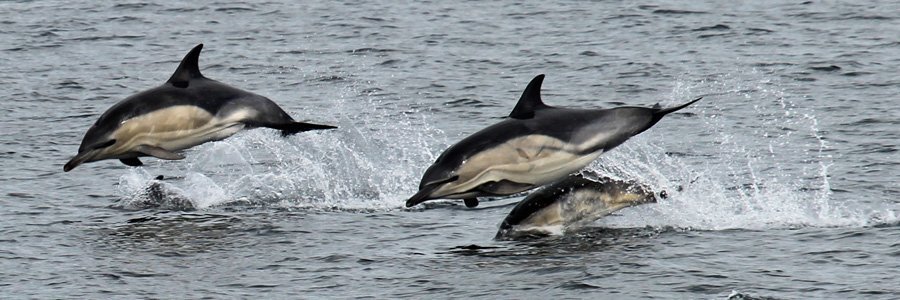
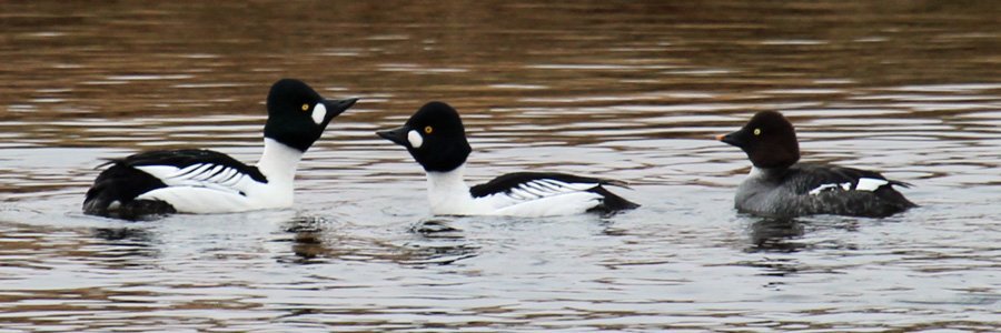
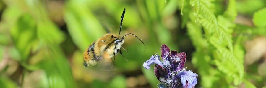
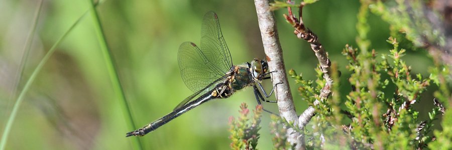
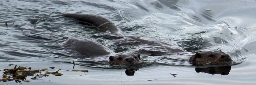
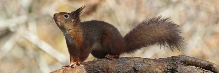
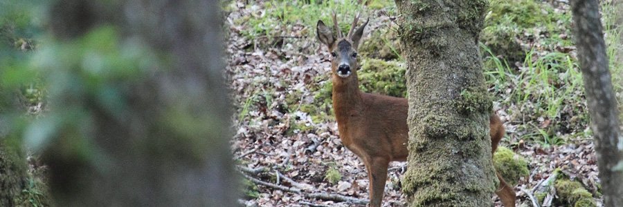
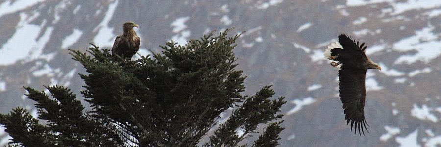
On both route options, look out for ravens and raptors (including golden eagle, hen harriers and buzzards) in the hills and crags, as well as skylarks, pipits and common lizards on the heath. Red deer can been seen in the hills and the tracks and signs of wildcat and pine marten maybe evident. At Port Eigin-aig look out for otters foraging in the kelp forest and basking sharks and cetaceans in the open sea. There is also possibility of seeing a white-tailed eagle on the coastline.
Route details
Option 1: Park on the old quarry car park just by a passing place at about 1km south-east of Achnaha on the Ardnamurchan peninsula. Head off uphill along a gravelled farm track to the deserted village of Glendrian with fantastic views of the surrounding hills. The track passes through rough pasture and heath of Calluna- Erica assemblages, with Bog myrtle (Myrica gale) in the wetter areas and bracken (Pteridium aquilinum) on the drier ground. Near the start of the walk, take a short detour to the crest some small rounded hills for good views of the volcanic ring dyke and the caldera. Return to the track by the same route.
2. Pass through a kissing gate, after which the track descends to the village of Glendrian. Cross the small stream (Allt Nead an Fhir-eoin) using the stepping stones by the sheep dip. Take time to explore the village at your leisure using the paths through the village.
3. Return by the same route.
Option 2: Walk to the village of Glendrian on the farm track, as described above. Cross the stream Allt Nead an Fhir-eoin using the stepping stones near the sheep dip and continue along the lower boundary of the village by veering immediately to the left on the path through an old pair of metal gate posts. Head through another pair of metal gate posts heading towards the two-storey derelict house with two chimneys. Continue past the house, byres and other derelict buildings, heading for a opening in the boundary wall.
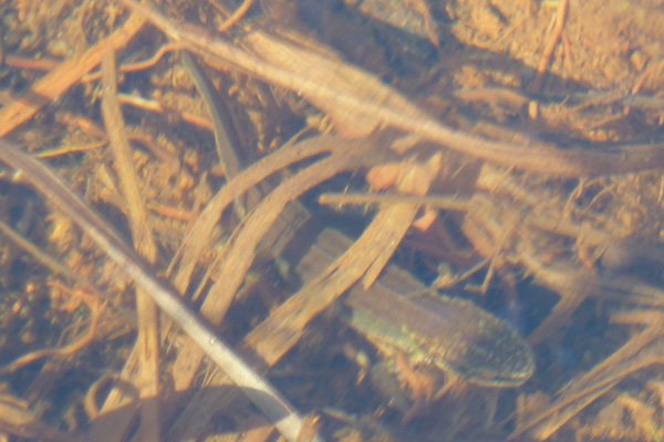
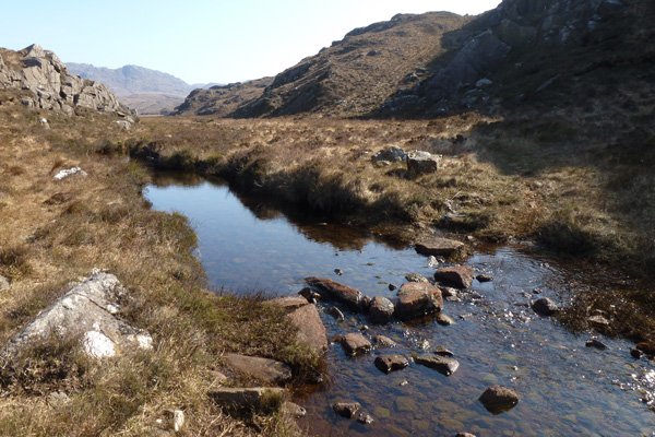
2. Continue on the path heading northwest towards the coast before turning a sharp right, and, ascending slightly into Glen Drian. The path continues straight heading north through Glen Drian towards a small gap in the hills in the distance, with the distinctive round topped hill of Sgurr nan Gabhar on the left. The path is extremely boggy and indistinct at this stage of the route and good map navigation skills are essential. The path continues until it meets a stream (Allt mhic cailein) and then runs parallel to it on the left through Bealach Mor, skirting round the base of Sgurr nan Gabhar. Look out for specialist bog and heath flora, and the lovely yellow flowers of bog asphodel (Narthecium ossifragum) in July and August. Examine the bog pools and streams for aquatic life including frogs and smooth newt.
3. Cross this stream at the ford on the stepping stones and continue on the stony/grassy path parallel to the stream. Once through the pass, the path diverges right (north-east) leaving the stream. There are fantastic views of the hills and the good coastal views of Port Eigin-aig on route.
4. The path crosses another stream at a second ford where the path forks. Take the left hand route to Port Eigin-aig. The right hand (east) path heads towards Fascadale. At this point the route affords superb views of Skye, and the Small Isles.
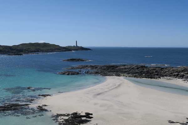
5. Descend to the beautiful shingle beach, admiring the complex and multiple hued geology, part of the Ben Hiant intrusion, with some sedimentary shales and limestone nearby. This is a great place for a picnic. The views to Skye, Eigg, Muck and Rum are magical on a bright hazy day.
6. Return by the same route, remembering to take the right path at the ford.
starting grid ref
Links to useful Information
terrain
length
Safety
Route details and information are provided in good faith. All walking is potentially dangerous and it is your responsibility to ensure that you are properly dressed and equipped, have a map and compass, have checked and planned your route in advance and are able to navigate effectively. Maps displayed on these walking pages are intended as an overview of the walk and are NOT suitable for navigation. Please follow the Scottish Outdoor Access Code and respect landowners and residents' privacy. Always check the weather forecast and let others know if you are walking in the hills.

