Polloch and Loch Shiel
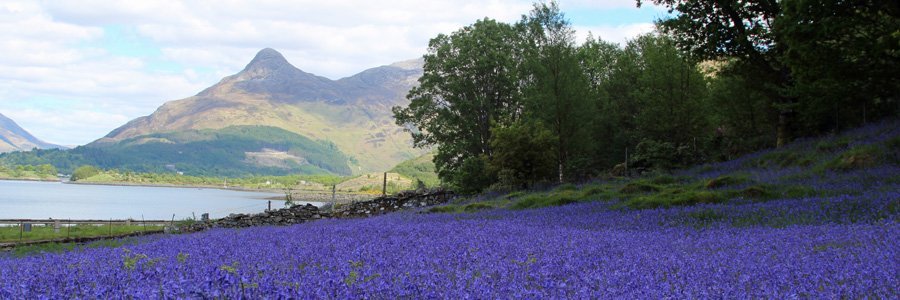
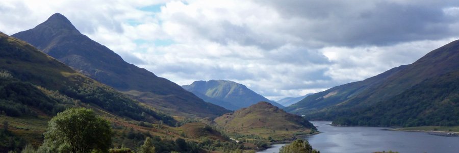
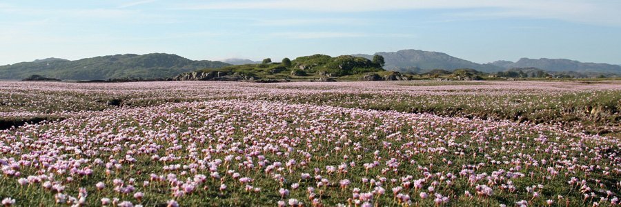
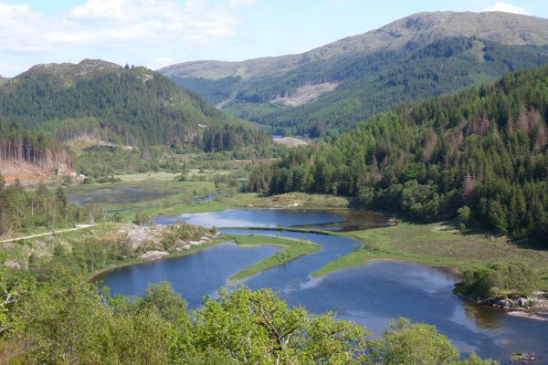
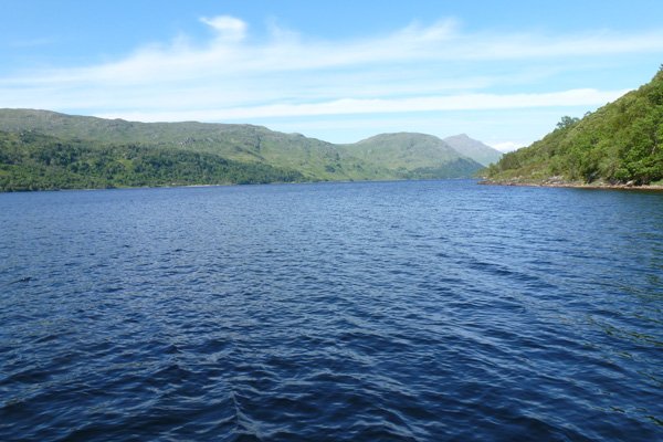
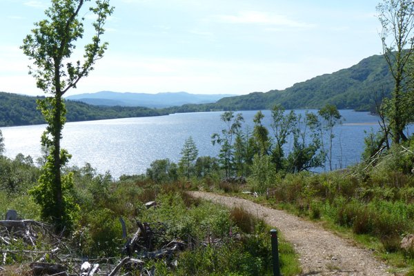
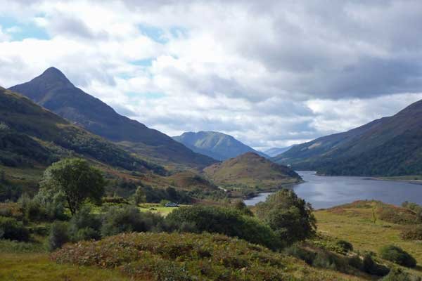
A pleasant walk in the Glenhurich Forest mainly along a forest track from Polloch, near Strontian, to the shores of Loch Shiel. The route passes through coniferous plantation, heath, and woodland. There are two viewpoints on route providing fine views across Loch Shiel whose restless waters shimmer on a sunny day.
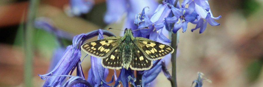
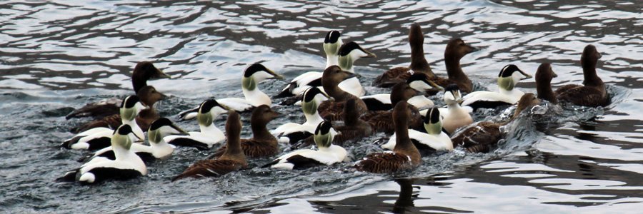
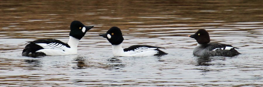
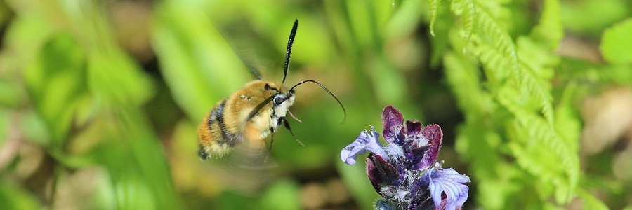
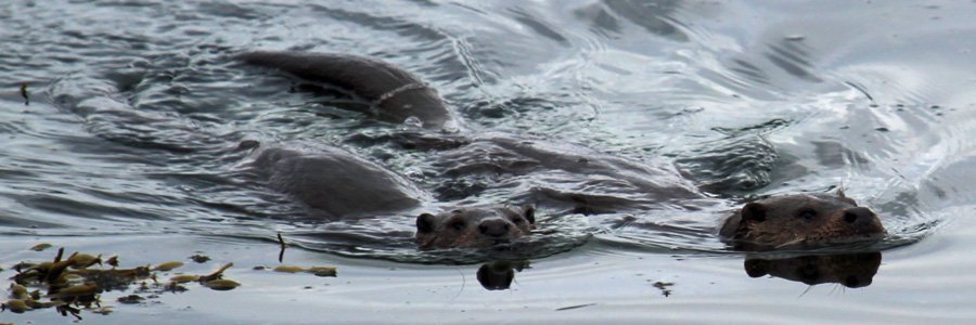
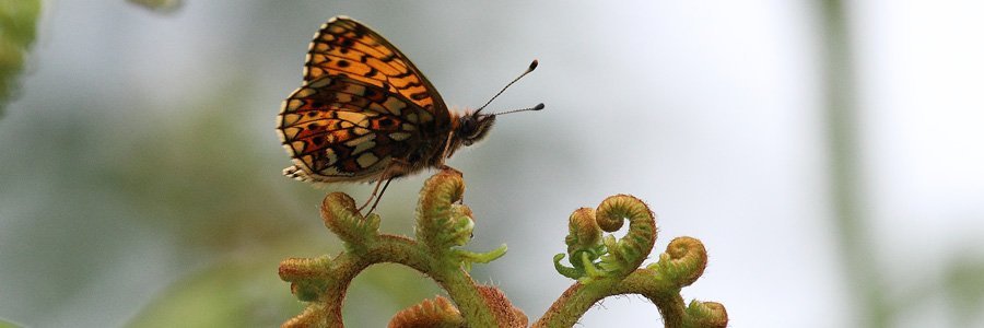
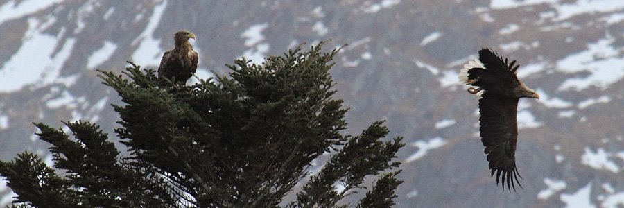
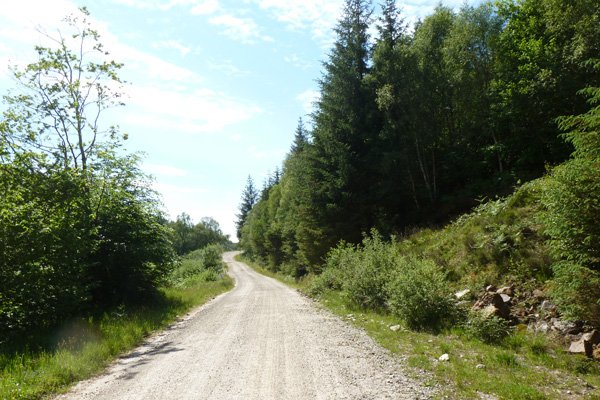
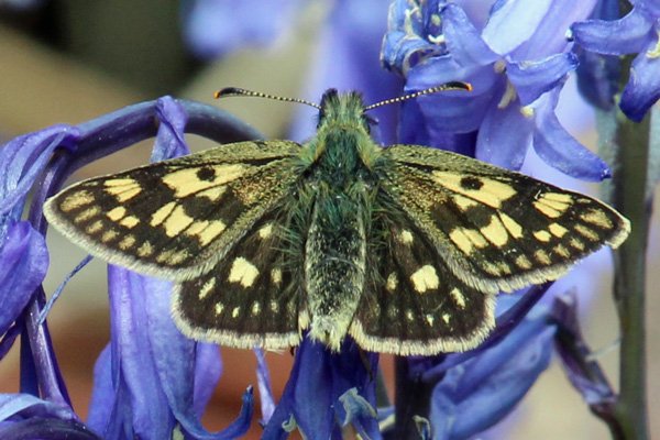
The forest track initially follows the meandering River Polloch, whose shores are lined with mixed broadleaf trees, consisting of the willow, ash, rowan, alder and hazel. As the track heads through the coniferous plantation of Glenhurich Forest, it is dotted with a host of wild flowers in Spring and Summer. The track provides a good place to look for common blues on the birds’-foot trefoil (Lotus corniculatus), and other butterfly species flitting along the verges on a sunny day. On route, there are also opportunities to spot golden eagle, buzzards and corvids on the crags, and diving and dabbling ducks on Loch Shiel, as well as a range of woodland birds. Look out for otters in the numerous sandy and shingle inlets on the Loch.
Route Details
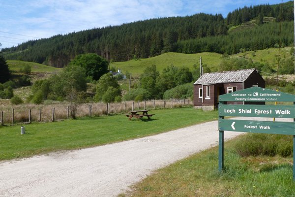
1. Park at the car park at Polloch, about 10km north of Strontian, and take the forest track signposted to Glenfinnan.
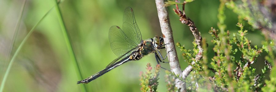
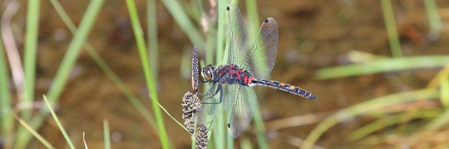
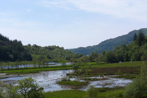
As the track bends to the right, two lovely small lochans come into view, bursting with water-lilies and the haunt of darters, chasers, hawkers and damselflies. There are some lovely views of the hills surrounding Loch Shiel, with its mixture of Atlantic oak woodland and coniferous plantation. The track continues to wind gradually up the hill, eventually affording lovely views of Loch Shiel.
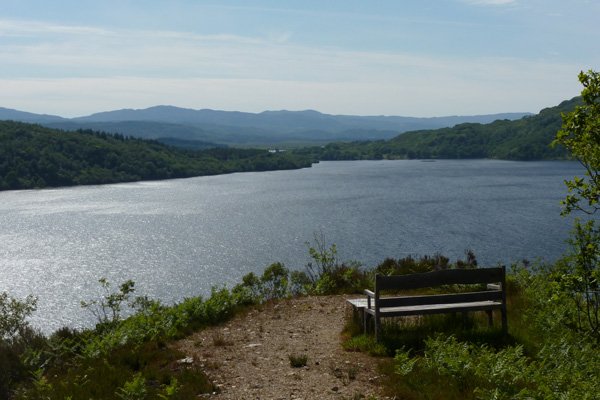
2. At the top of the track, take the path on the left, way-marked by a red signposted, which heads towards two viewpoints. At the T junction near the start of the path turn left and take a short (100m) detour which skirts around the hillside through former heath to the first viewpoint. There is a welcome picnic bench at the viewpoint. The viewpoint provides panoramic views of the Loch and the surrounding hills, across a canopy of the mixed oak woodland. Return by the same route.
3. Continue on the way-marked route which heads around the other side of the hill, ascending slightly to another viewpoint before descending. Follow the signs to this second viewpoint (150m) through Calluna dominated heath, studded with small birch trees. At the end, there is a bench providing an ideal opportunity to admire the views of Loch Shiel.
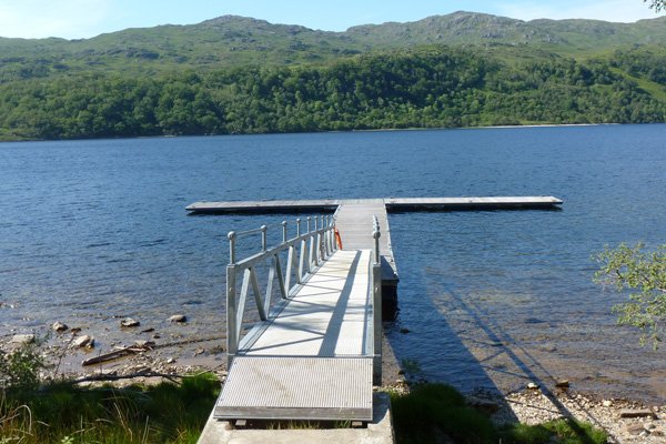
4. Return to the main path by the same route. The main path now begins to wind down the hill to the shore, through former coniferous plantations. Near the shore, the path skirts around the wooded edge of the loch with a ground flora of bluebells (Hyacinthoides non-scripta), wood sage (Teucrium scorodonia), honeysuckle (Lonicera pericymenum) and Calluna-Erica assemblages. Look out for the old mail boat, now wrecked, just before you reach the new pier. Immediately opposite the new pier there is a welcome bench; this is a lovely place to take time to enjoy the wildlife.
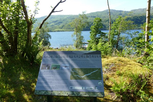
5. The path heads back uphill, passing by an interpretation board on route, introducing some of the wildlife on Loch Shiel. Cross the forest track and continue uphill, as signposted, through heath, studded with foxgloves (Digitalis purpurea), hard fern (Blechnum spicant) and male ferns (Dryopteris spp) and dense patches of woodrush (Luzula sylvatica).
6. On meeting the forest track, turn left and descend back to car-park.
At the car park take time to visit the small interpretation centre located in the wooden building. The Interpretation Centre contains information on the area, including archaeology, forestry, townships and local culture.
starting grid ref
terrain
length
Safety
Route details and information are provided in good faith. All walking is potentially dangerous and it is your responsibility to ensure that you are properly dressed and equipped, have a map and compass, have checked and planned your route in advance and are able to navigate effectively. Maps displayed on these walking pages are intended as an overview of the walk and are NOT suitable for navigation. Please follow the Scottish Outdoor Access Code and respect landowners and residents' privacy. Always check the weather forecast and let others know if you are walking in the hills.

