Roy Bridge and The River Spean
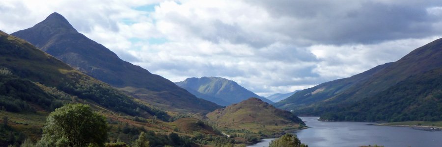
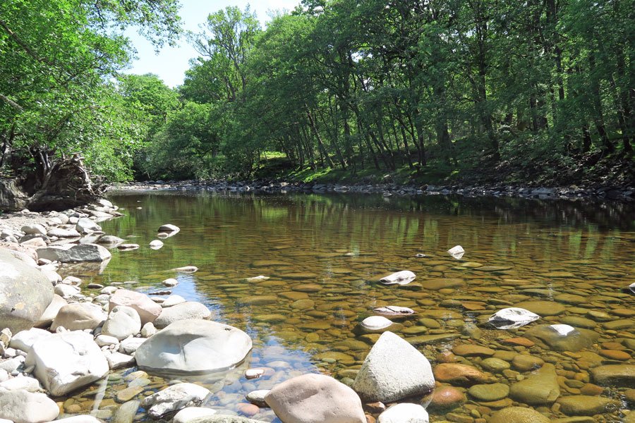
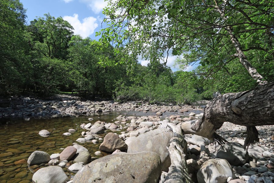
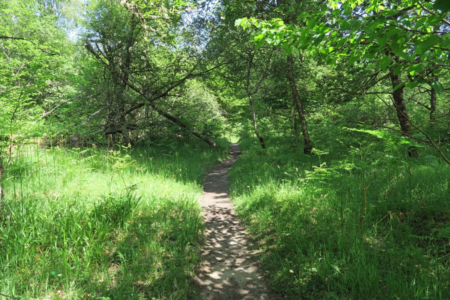
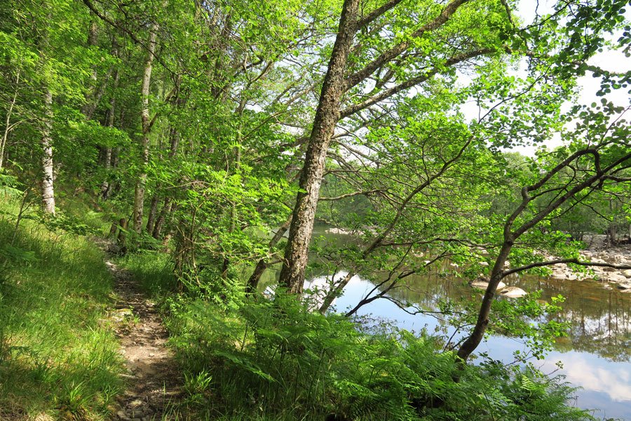
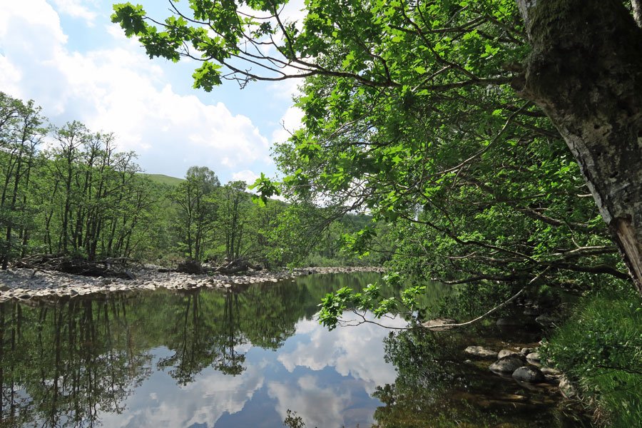
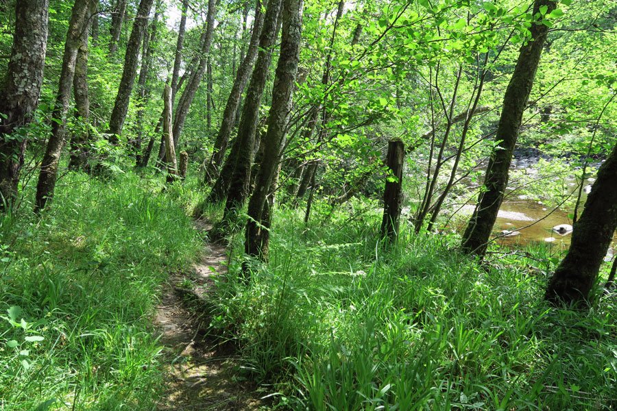
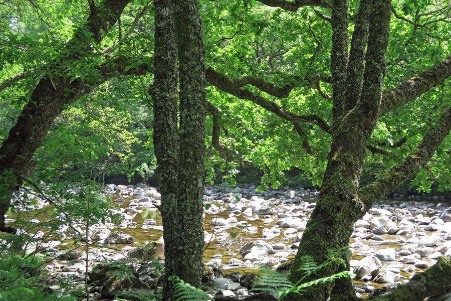
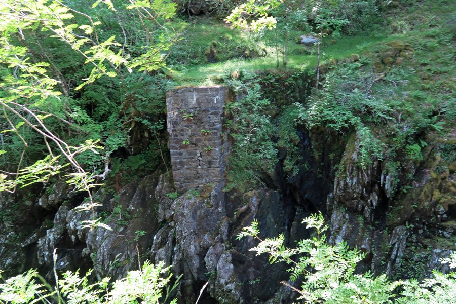
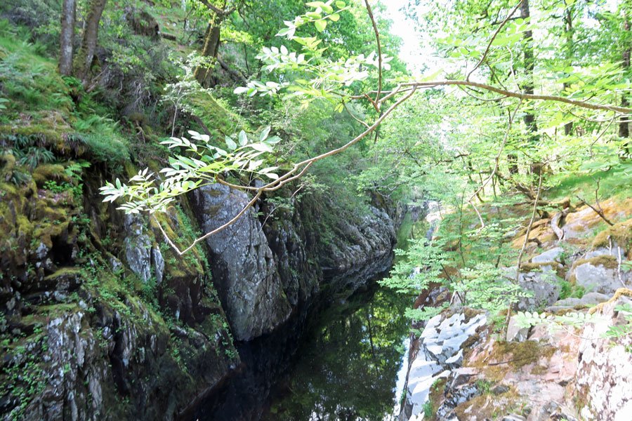
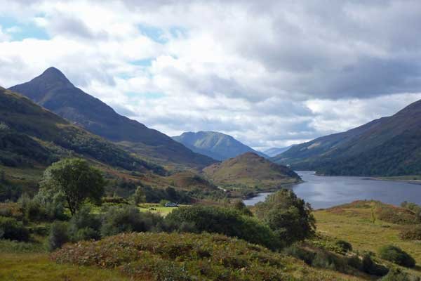
A very pleasant walk through a lovely section of mixed woodland along the banks of the River Spean in Glen Spean. The walk affords some fine views of the Spean Gorge, an impressive channel cut by turbulent glacial waters.
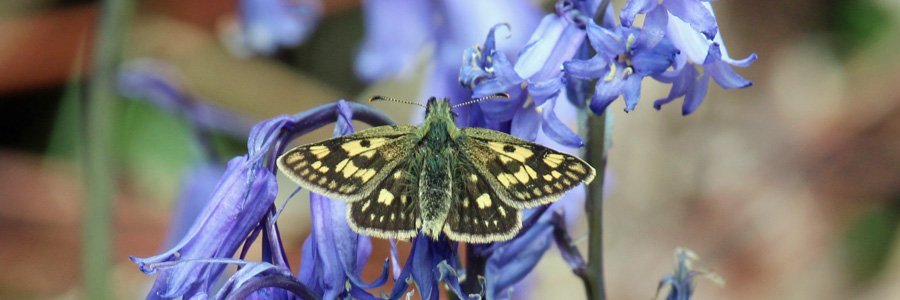
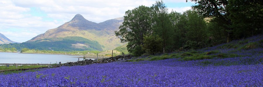
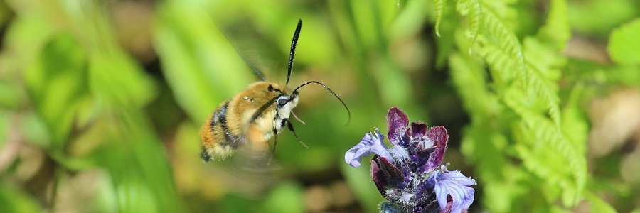
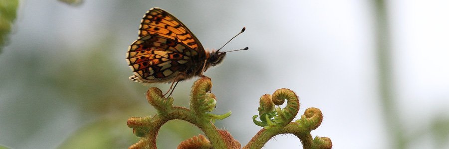
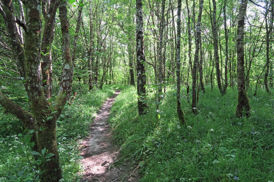
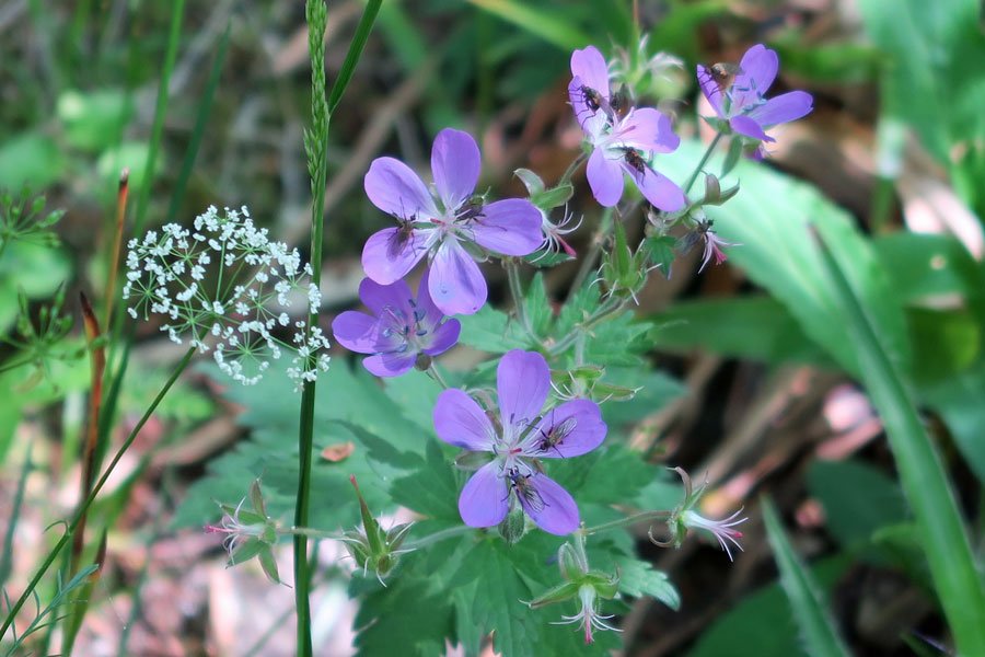
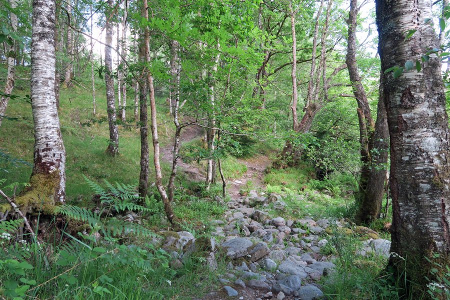
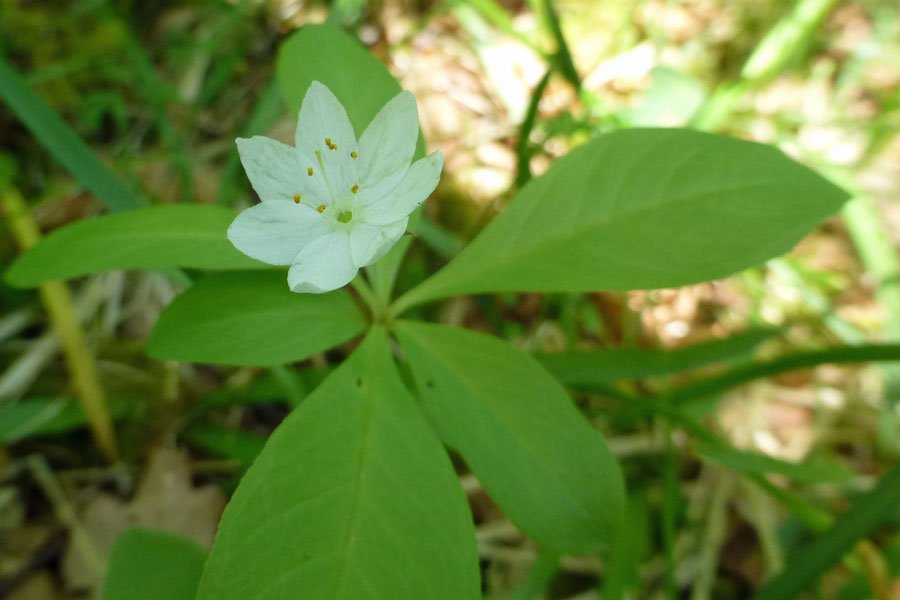
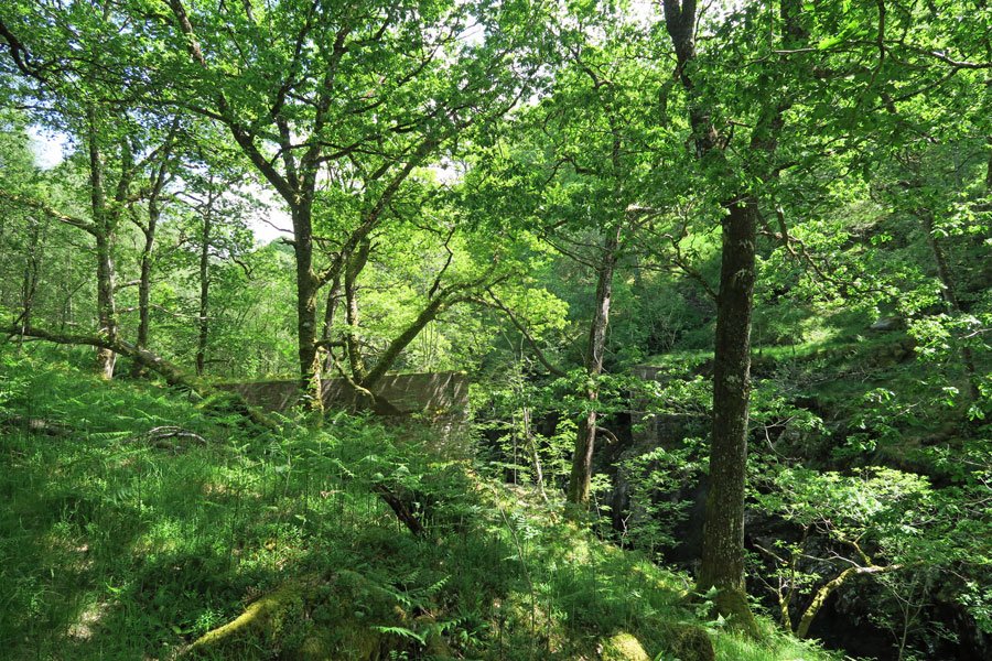
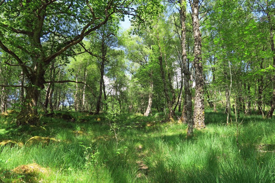
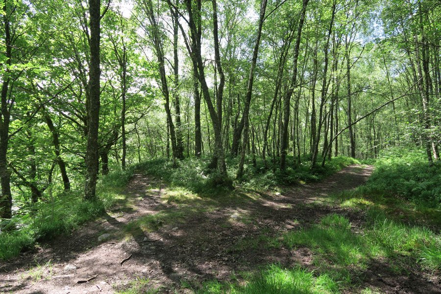
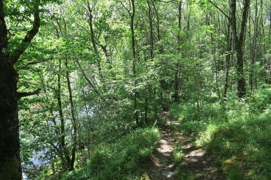
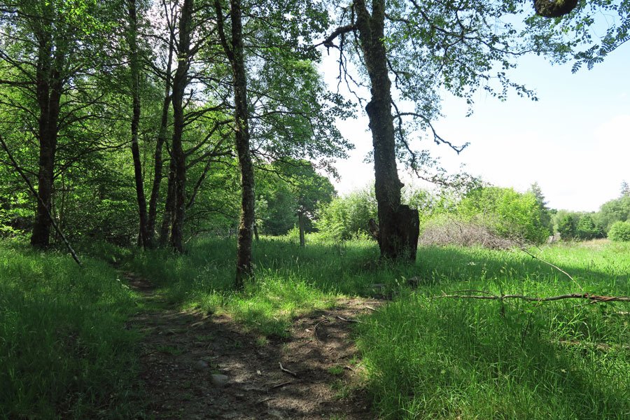
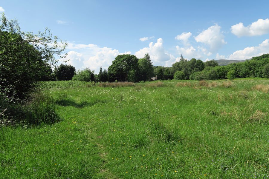
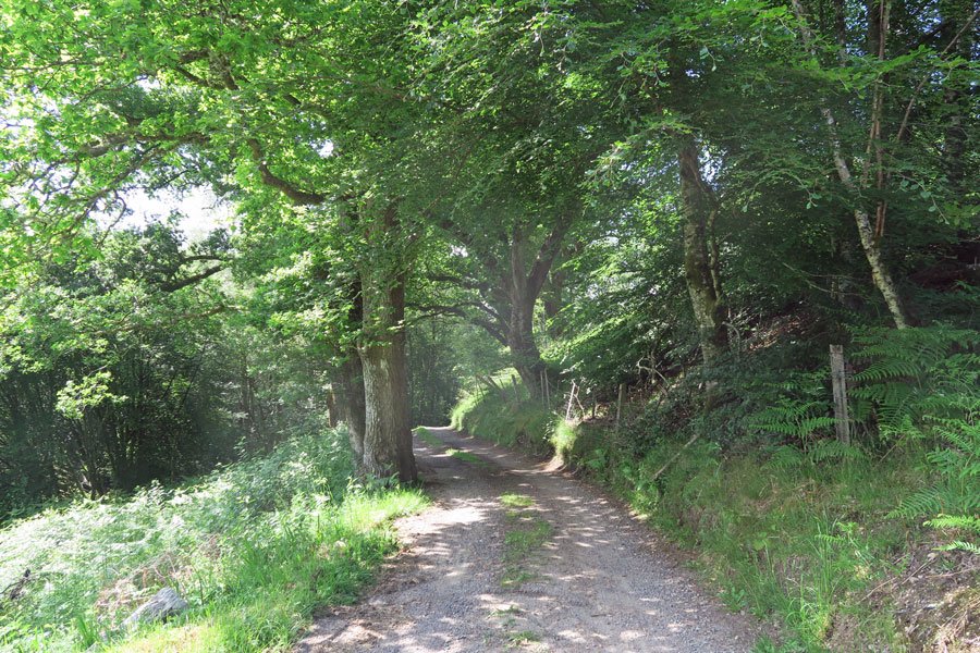
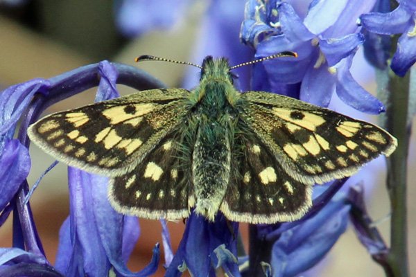
Most of the route is through mixed deciduous riperian woodland consisting of ash, rowan, holly, bird cherry, sycamore, birch, oak and hawthorn. There are also some fine specimens of oak and birch and lovely stands of hazel coppice, whilst goat willow and alder dominate on the damper ground. The ground flora is stunning in Spring, a profusion of white, pinks, yellows and blues, with a mixture of bluebell, bugle, pignut, devil bit scabious, bilberry, wood sorrel, yellow pimpernel, common cowheat and wood sage, as well as species of stitchwort, violet, cranesbill, speedwell and vetch. Ferns include butler fern, shield fern, hard fern and lemon-scented fern. There are also some lovely sections of open ground/meadow populated with bugle, meadow buttercup, herb bennett, pignut, birds foot trefoil, knapweed and speedwell; a good place to search for chequered skipper and other meadow butterflies.
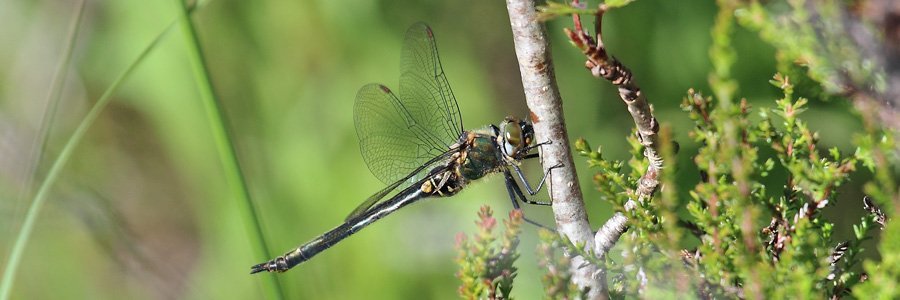
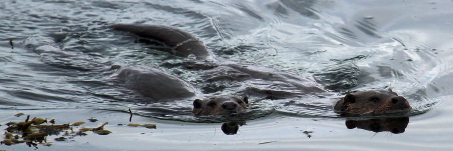
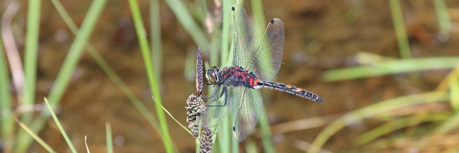
Listen out for tits and warblers in the wooded sections. If you are lucky, you may see dippers and otters along the river, and golden ringed dragonflies and chasers on the smaller water bodies.
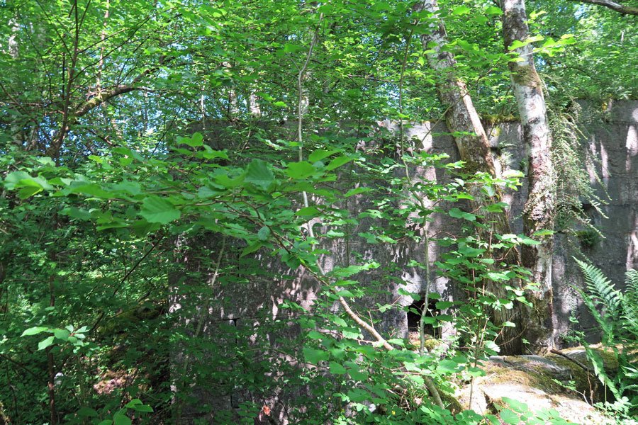
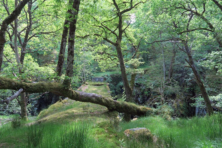
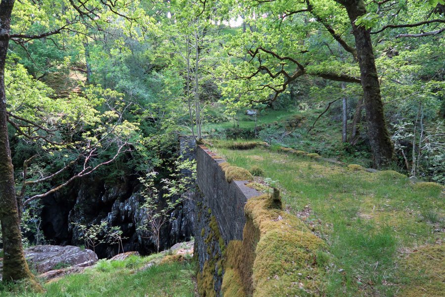
Glen Spean bears testament to a short-lived glacial event about 12,000 years ago. During this time, the western hills were covered in ice, and eastward flowing glaciers formed ice dams across Glen Spean, Glen Roy and Glen Gloy. As a result, vast quantities of water were trapped in Glen Spean, which were later to be released in a dramatic glacier outburst (jökulhlaup), resulting in a steep-sided gorge and the transportation of large quantities of sand, gravel and boulders down river. The impressive gorge is best observed from the remains of an old stone bridge which formerly spanned the channel.
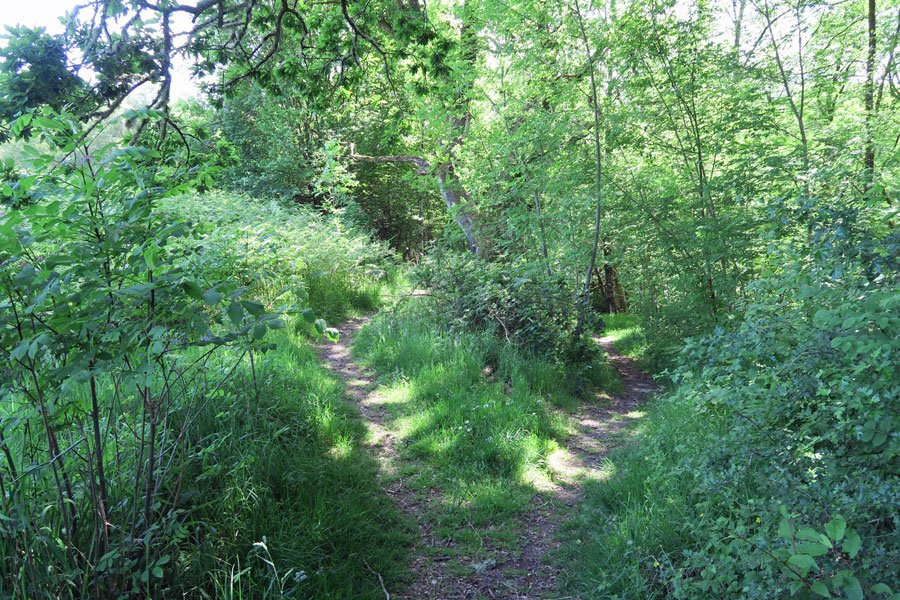
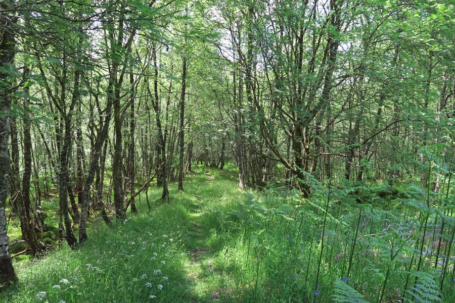
The route is generally easy to follow on a mixture of grassy and stone paths, as well some short sections along the road. The route through the woodland can be boggy in places. There are also a number of other paths traversing the woodland which can be taken if you wish to explore the woodland further.
Route Details
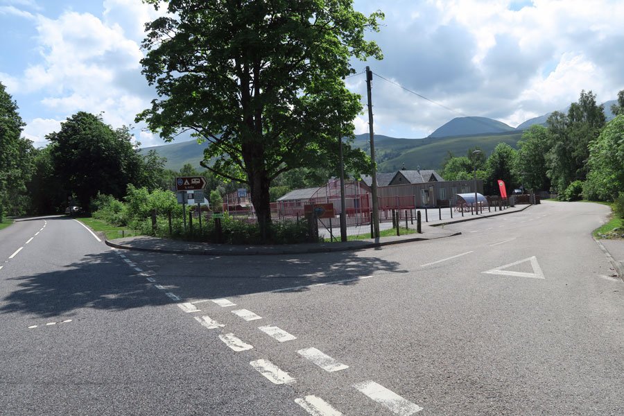
1. Take the turning signposted Glen Roy, Bohuntine and Brae Roy off the A86. Park at in the village car park at the edge of Roy Bridge. The car park is located by the memorial hall and within a short distance of Darwin's Rest Coffee Shop.
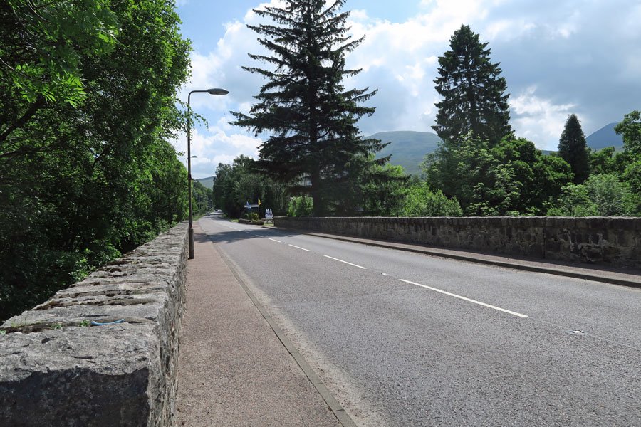
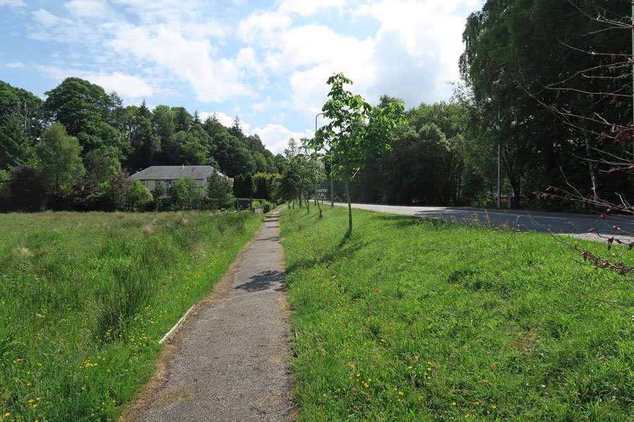
2. Turn left onto the A86, crossing the River Roy and heading east along the roadside path. Pass by the Roy Bridge Hotel and the Stronlossit Inn.
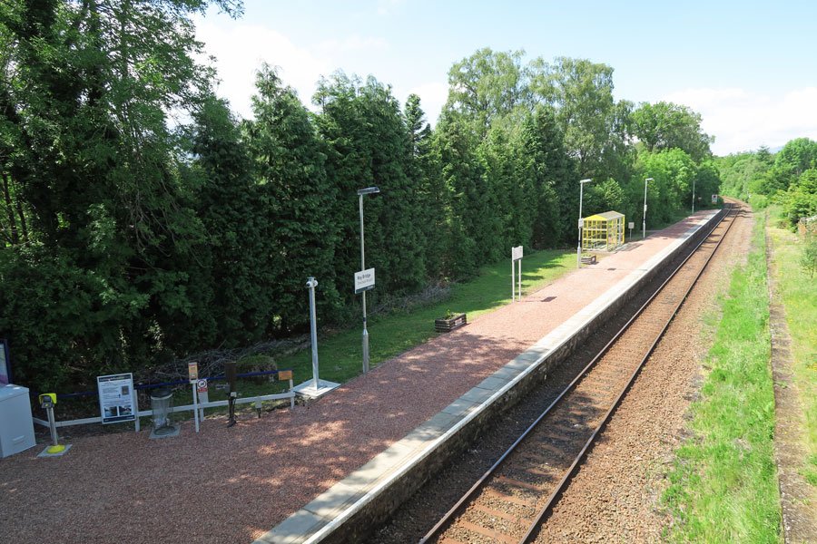
3. Take the minor road on the right just beyond the Stronlossit Inn, signposted Railway station and Bunroy Caravan Park.
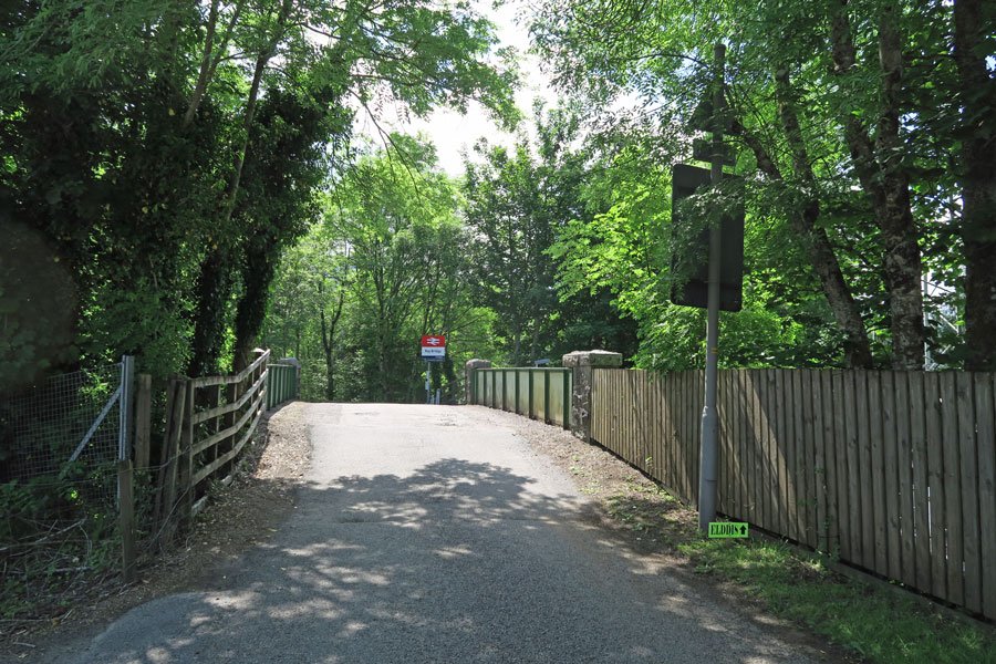
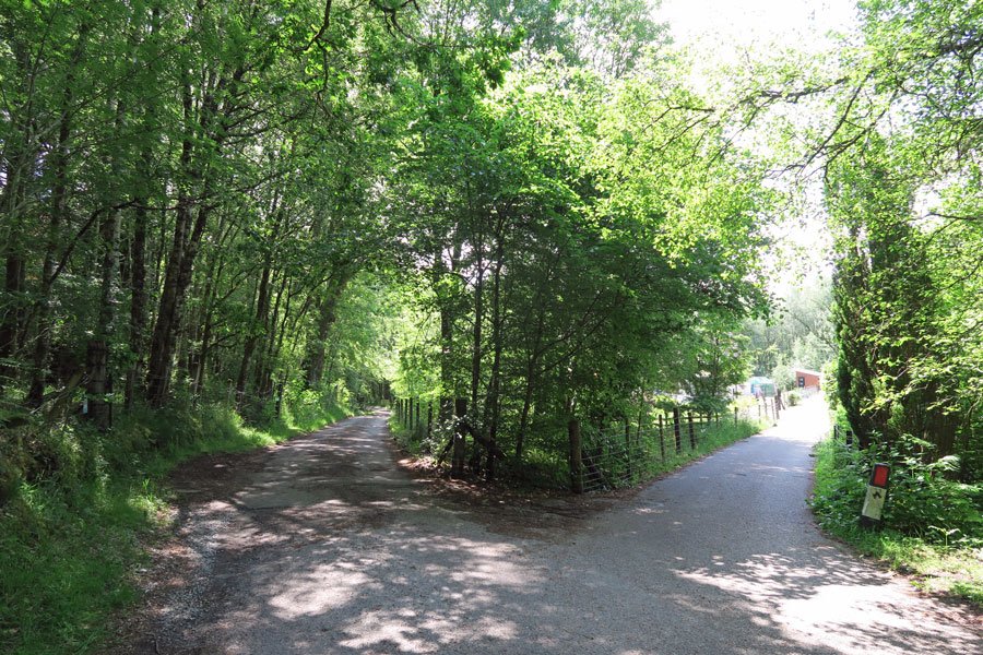
4. Pass by Roy Bridge Primary School and cross the railway bridge and follow the minor road as it descends. Keep left where the road forks and then continue straight ahead towards Bunroy Park.
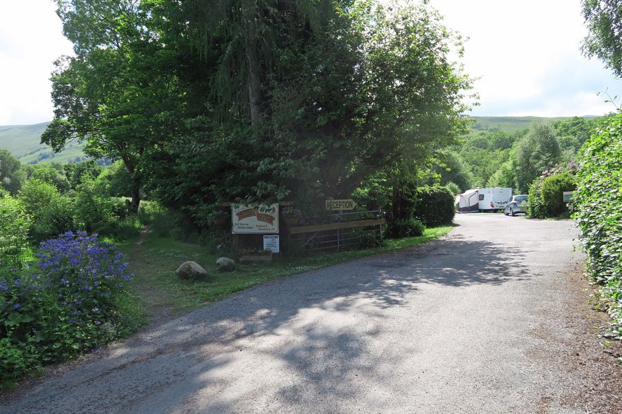
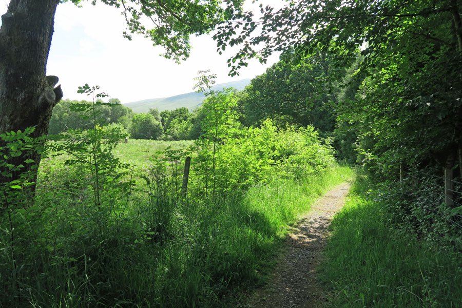
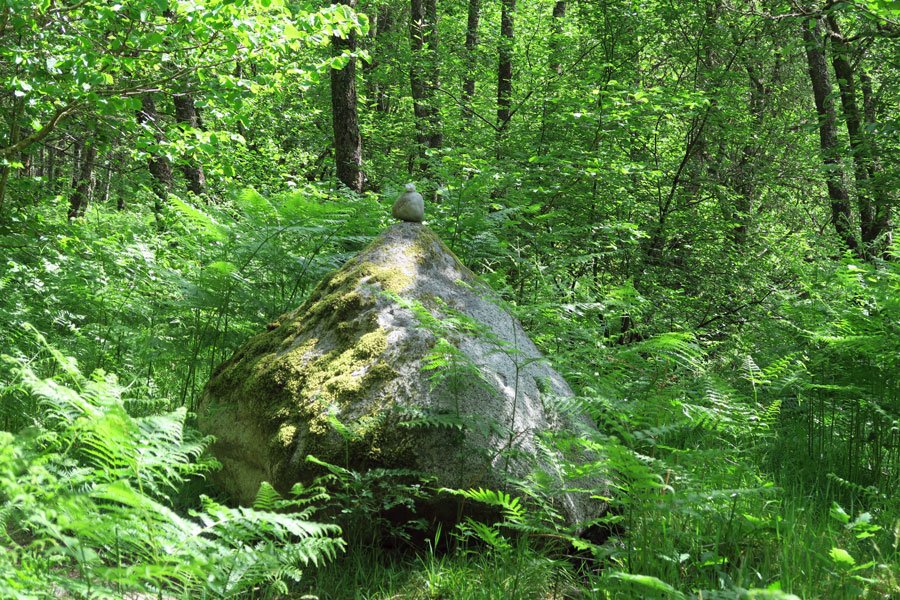
5. Take the footpath to the left of the welcome sign, metal gate and reception for Bunroy Park. The grassy path skirts around the holiday park before descending into woodland. Soon the path starts to skirt the river. Keep right and continue on the riverside path, ignoring the woodland path on the left. Pass by a large boulder with two stones on top.
6. The path eventually ascends through the woodland heading towards the remains of an old stone bridge. From the old stone bridge, pick up a faint path on the far side of the bridge which continues to ascend the hill. Look out for some fine specimens of oak and birch just left of the stream.
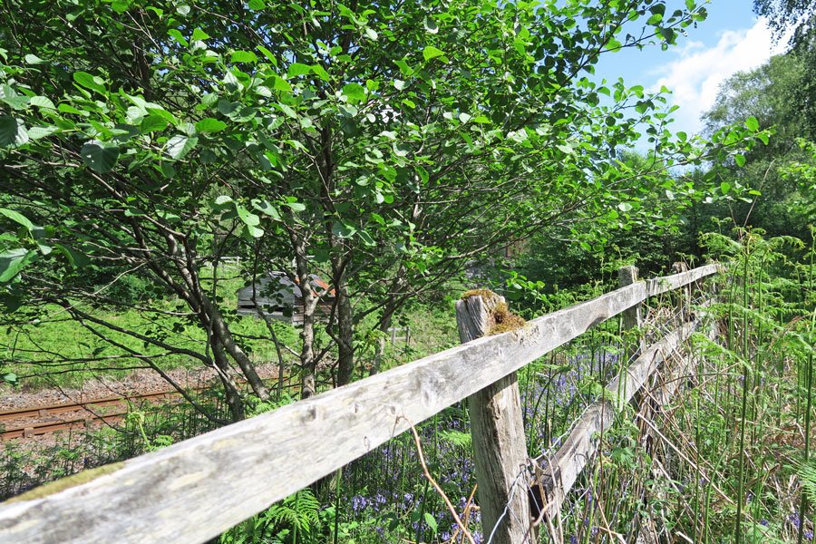
7. At the T-junction turn left to meet up with the railway line before descending into a boggy section dominated by willow and birch.
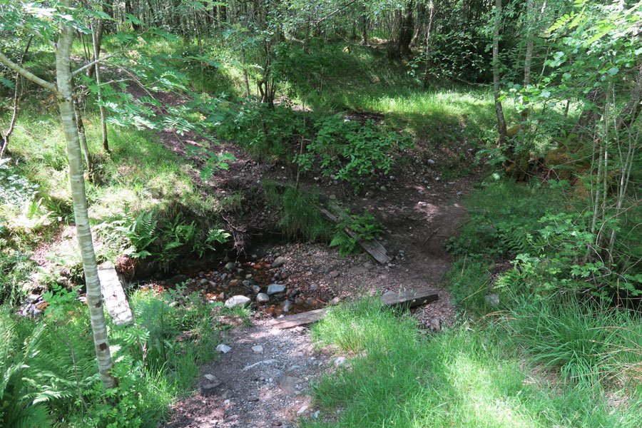
8. Keep right, ignoring the path descending on the left. The path eventually descends to cross a stream, bridged by a railway sleeper plank. Take the right bridge and head uphill and then take the small descending path on the left.
9. Just past the stream you can either head back through the woodland by taking the path on the left. Alternatively, take the path on the right which leads you through a lovely meadow, full of pignut, speedwells and buttercups. If taking this path, keep right and follow the path through a woody copse and out into another meadow. The path eventually joins a gravel track by a house.
10. Turn left onto the track towards the house named Mandalay. Then turn right and then retrace your steps back to the car park
starting grid ref
terrain
length
Safety
Route details and information are provided in good faith. All walking is potentially dangerous and it is your responsibility to ensure that you are properly dressed and equipped, have a map and compass, have checked and planned your route in advance and are able to navigate effectively. Maps displayed on these walking pages are intended as an overview of the walk and are NOT suitable for navigation. Please follow the Scottish Outdoor Access Code and respect landowners and residents' privacy. Always check the weather forecast and let others know if you are walking in the hills.

