


Dun Deardail
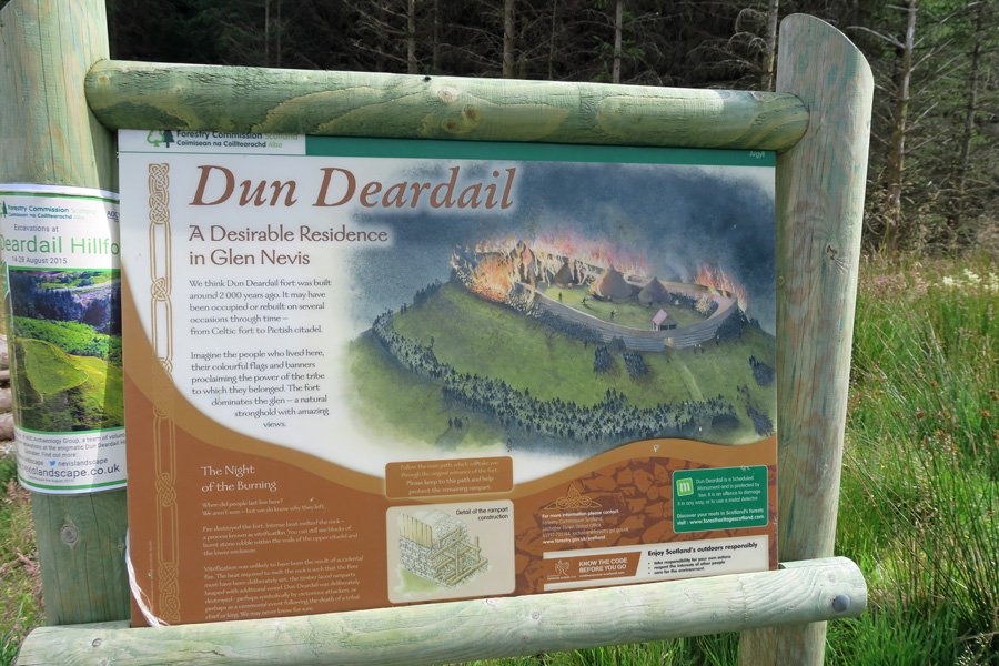
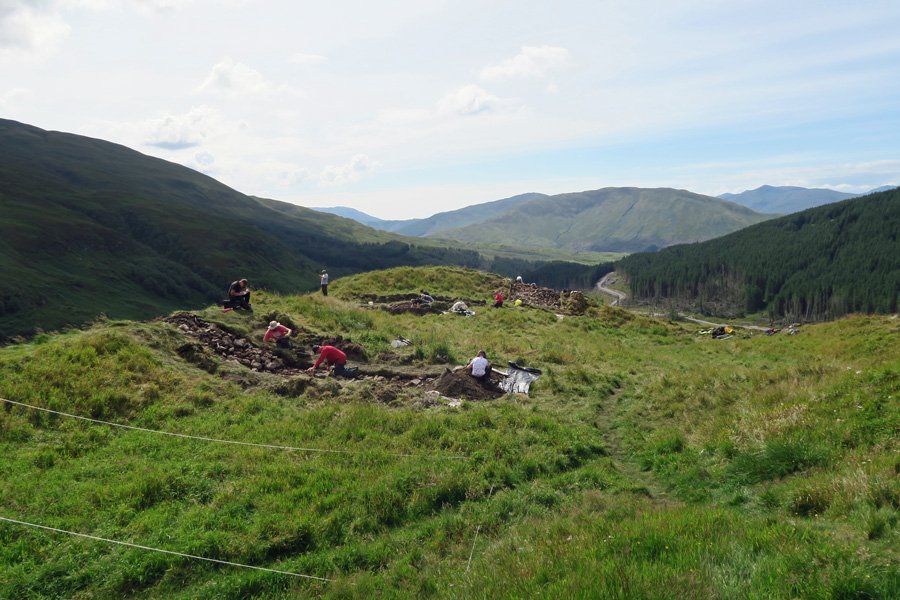
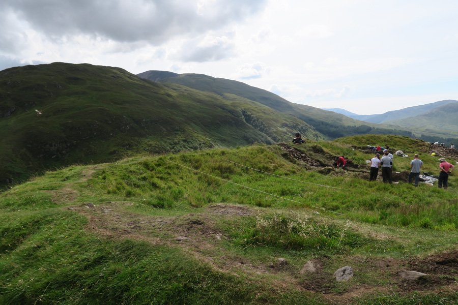
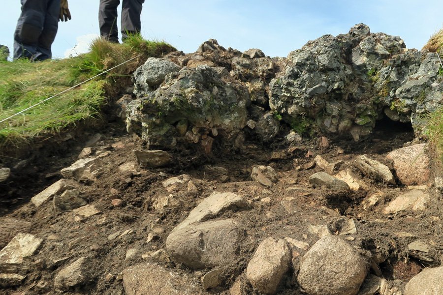
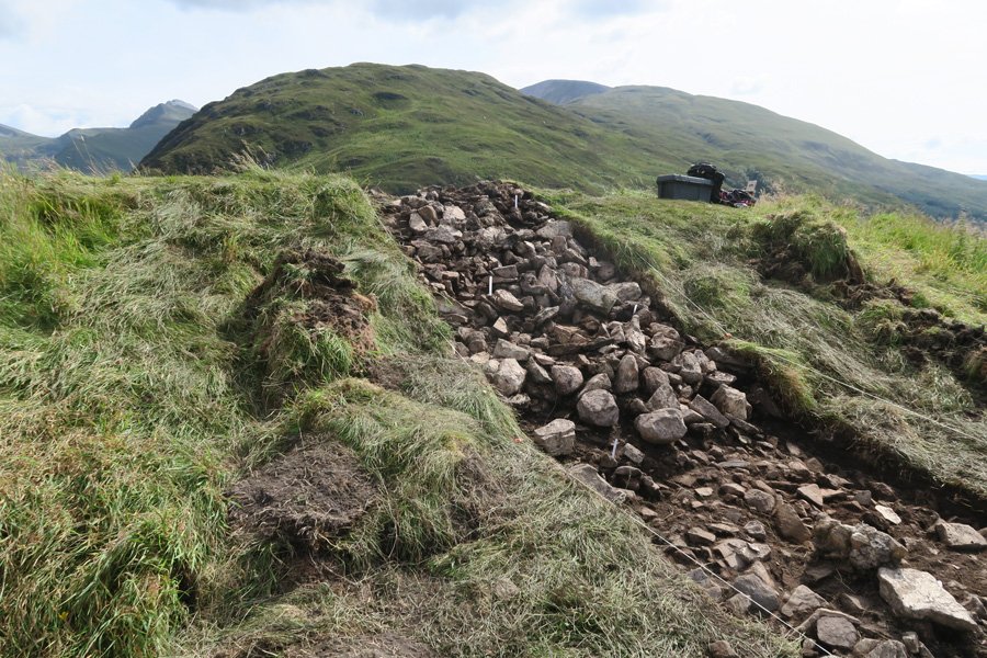
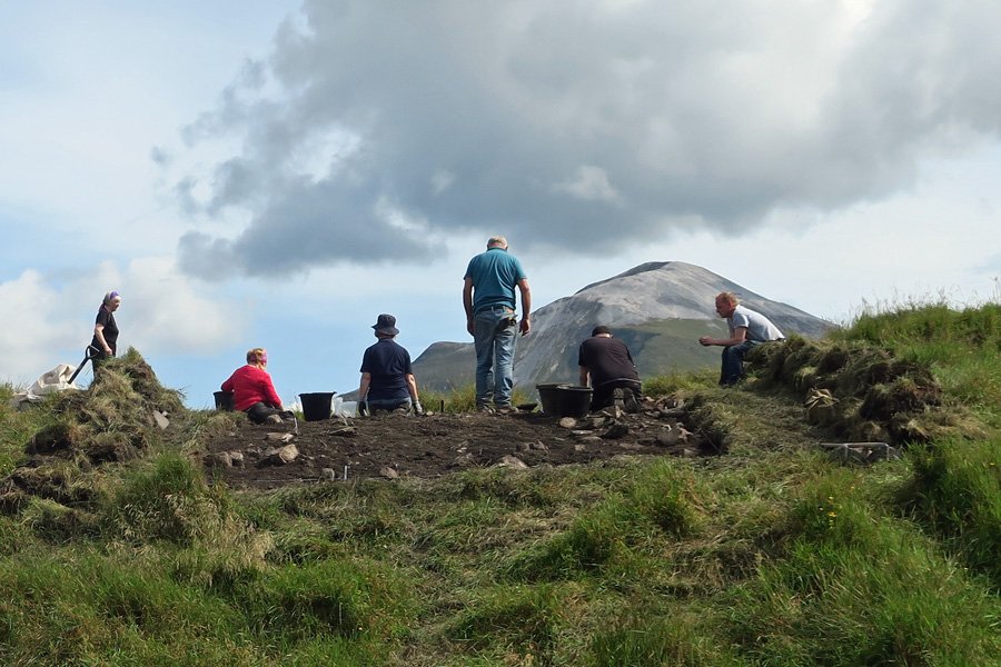
Dun Deardail is a vitrified iron age Highland hill fort on a prominent knoll on the north facing spur of Sghorr Chalum in Glen Nevis. It is thought to have been built at sometime between first millenium BC and the first millenium AD. The fort occupies 1250 square metres and dominates the south west side of the Glen. Its origins are mystery but it is likely to have been occupied on repeated occasions since its construction. However it is unknown whether the fort served as a temporary or permanent settlement during its period of occupation. The fort lies under grass although excavations are underway, which started in August 2015, to reveal details of its construction. The excavations hope to discover the nature of the Fort's defences, its occupation history, as well as the age of the site.
The name of the fort may be connected with legend of Deirdre of the Sorrows. Deirdre is revered as one of the most beautiful and tragic heroines of Scottish and Irish mythology; her story is one of passion, flight, jealousy, deception, death and enduring love. It is also a tale of prophecy and destiny. The tragedy was played out in Deirdre's native Ireland and Scotland (the latter being the chosen destination for the flight with her lover Naois and where a tower on a hill was built).
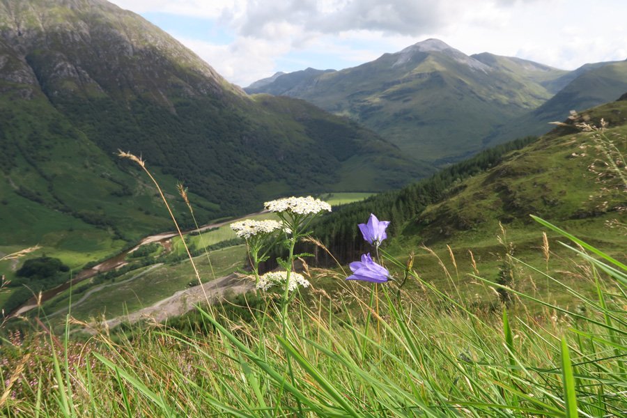
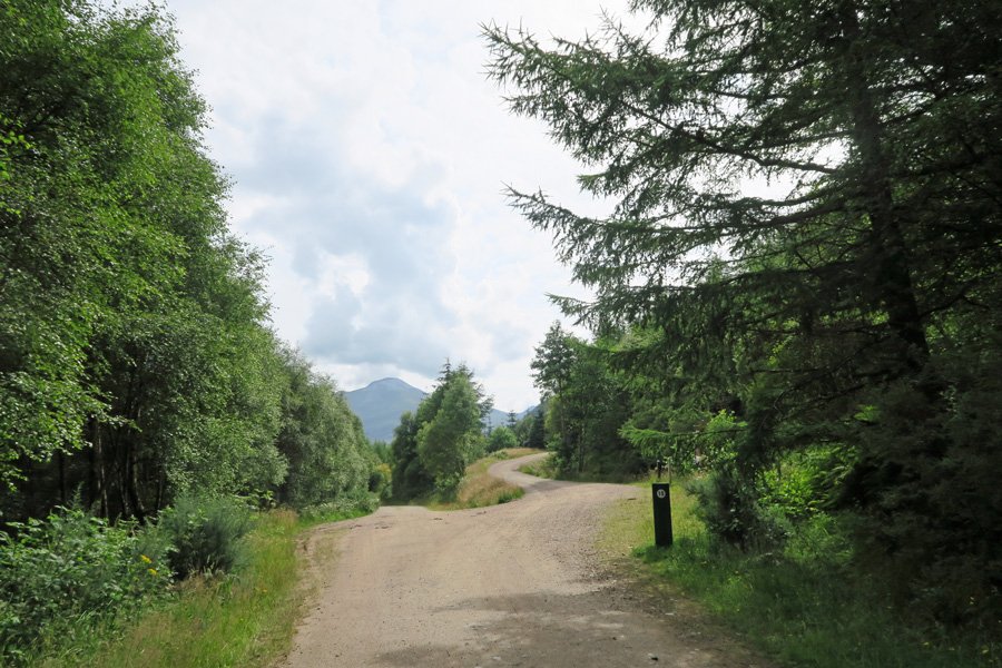
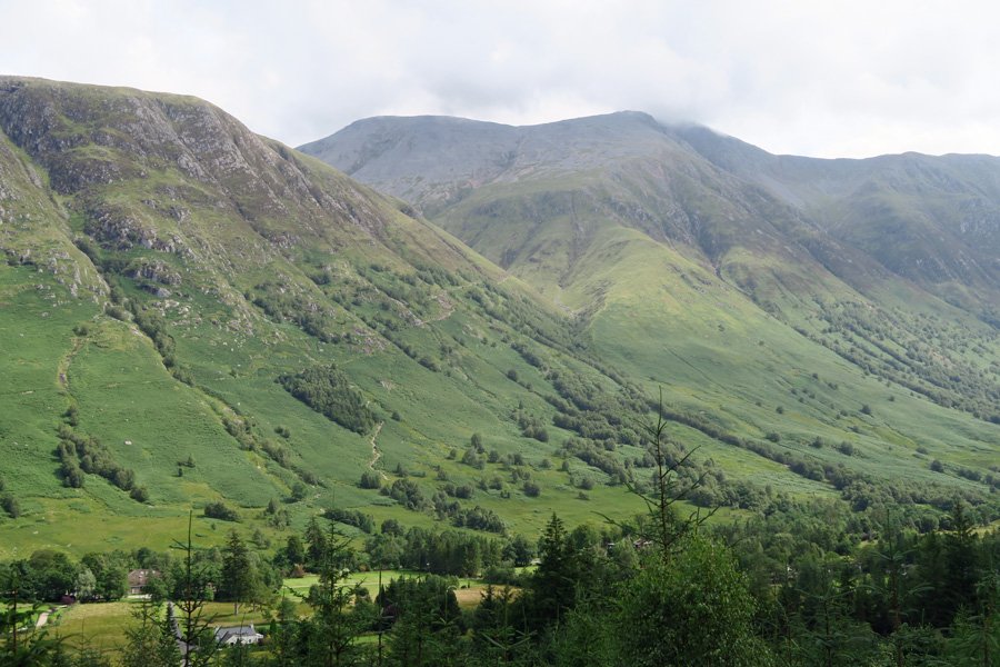
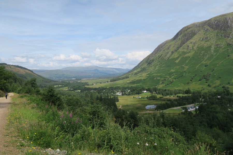
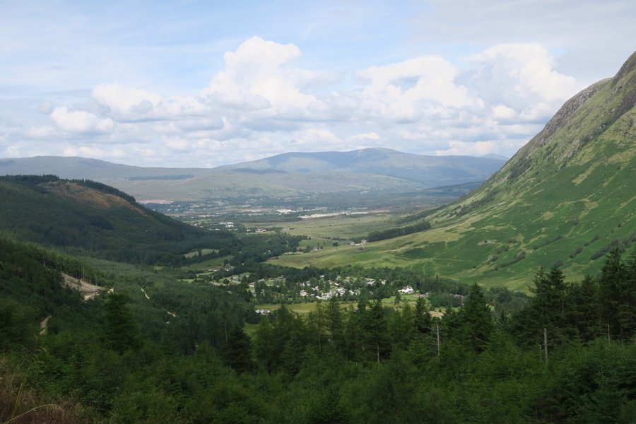
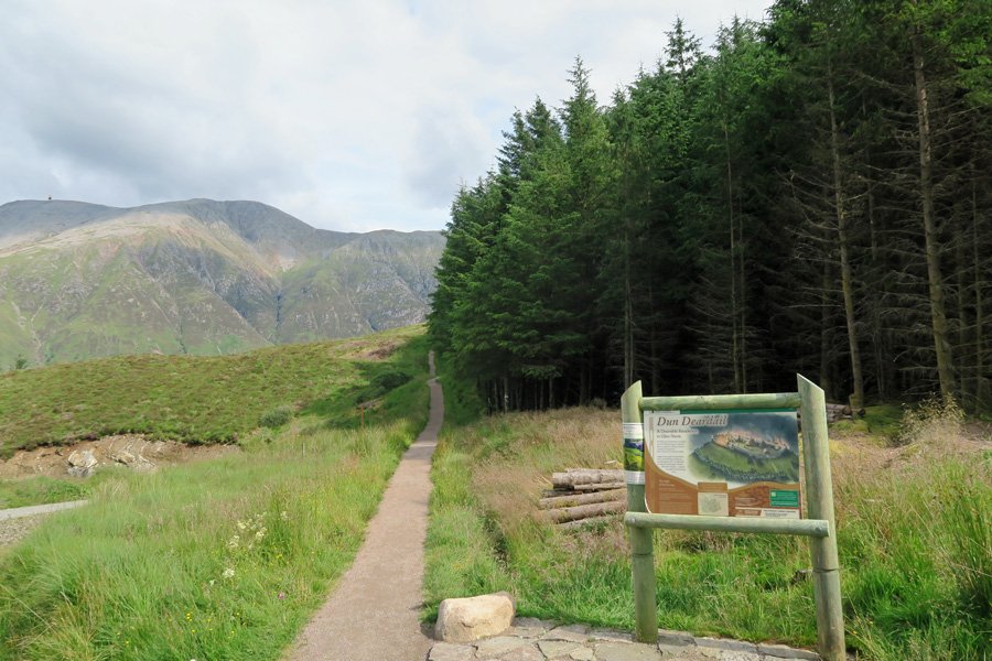
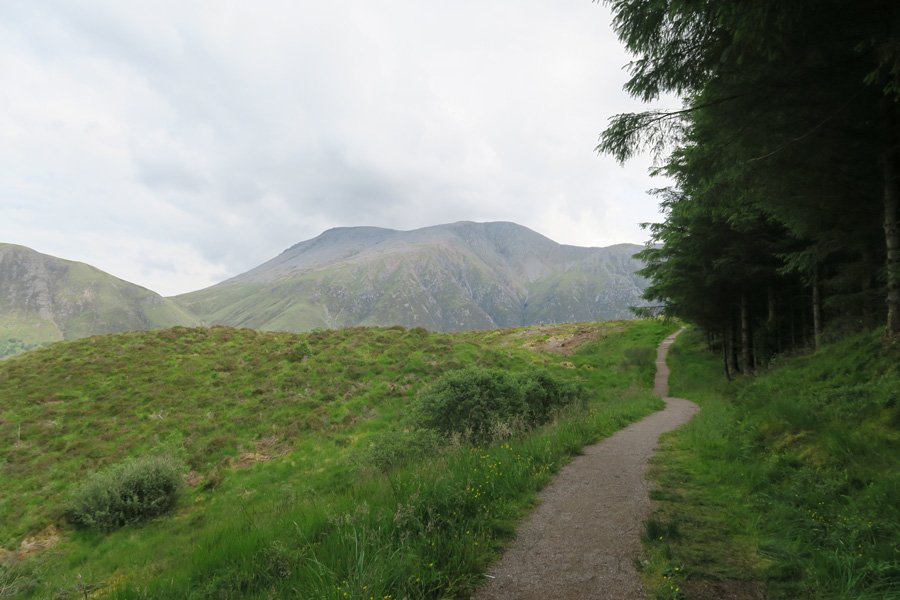
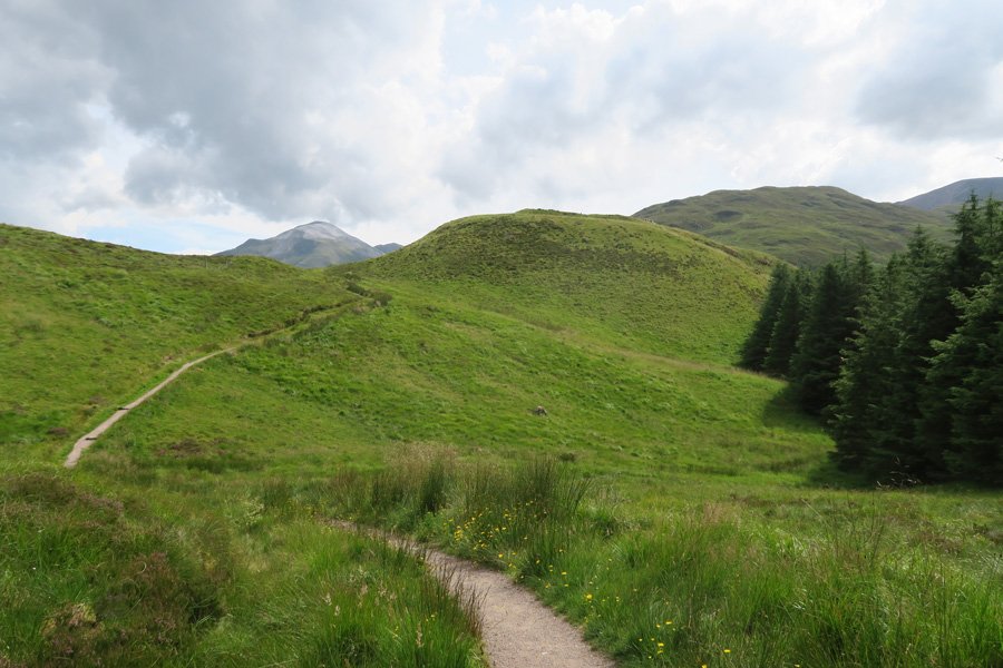
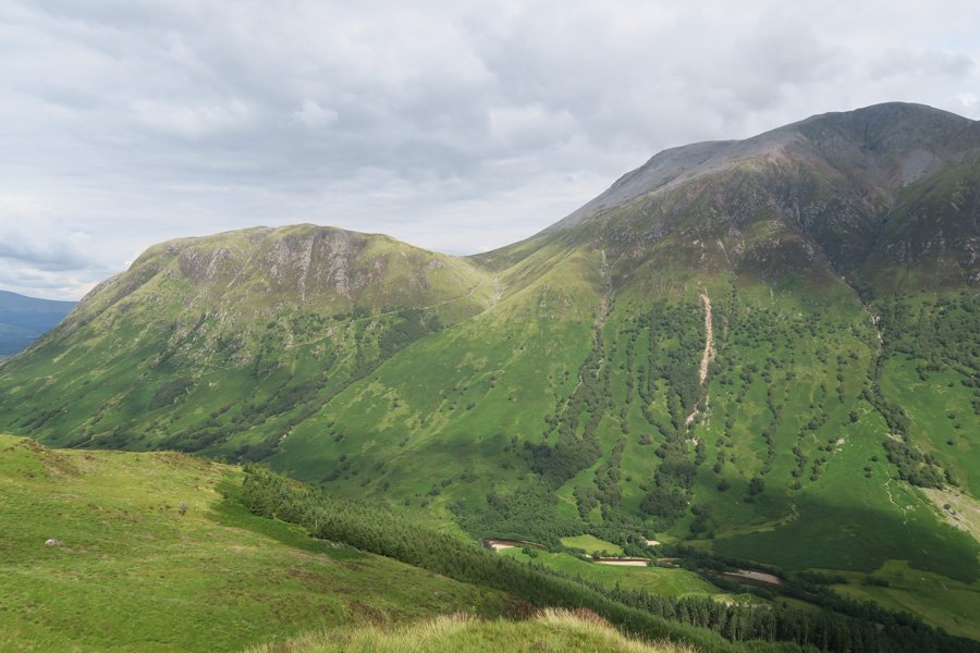
There is a lovely scenic walk to the hill fort of Dun Deardail on forest tracks, with fine views of Ben Nevis, the Nevis Range and Glen Nevis. The route ascends gradually to a height of 324 metres through Sitka spruce plantation with some larch and Western hemlock.
On route, take time to enjoy the wildflowers on the verges of the plantation which are variously hued with the yellows of St John's-wort, tormentil, meadow buttercup, goldenrod, bog asphodel, gorse and broom; the purple and pinks of self-heal, knapweed, cross-leaved heath and bell heather; and the whites of wood sage, meadowsweet and various umbellifers.
The final ascent to the fort is through heath and flower rich grassland, with heathers, heath bedstraw, heath spotted orchid, tormentil, harebell, creeping buttercup, and yarrow, to mention but a few.
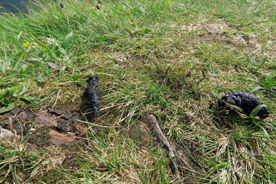
Listen out for goldcrest, willow warbler, coat tit and other woodland birds on route. Scan the hills for golden eagle and other raptors. Look out for the scats of pine marten.
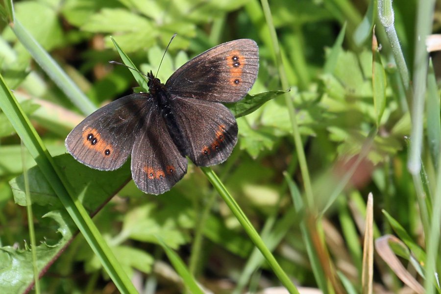
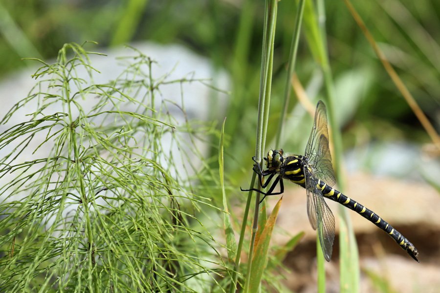
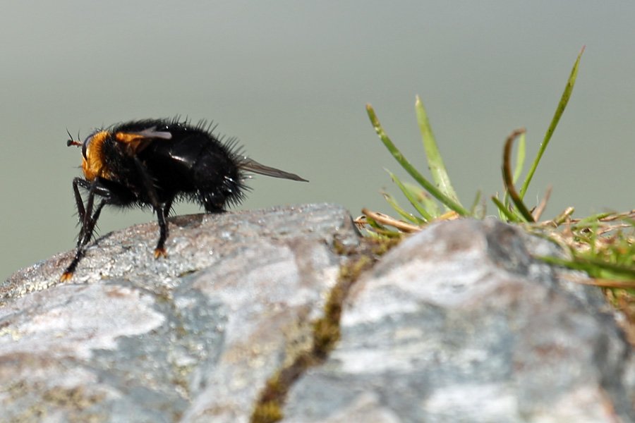
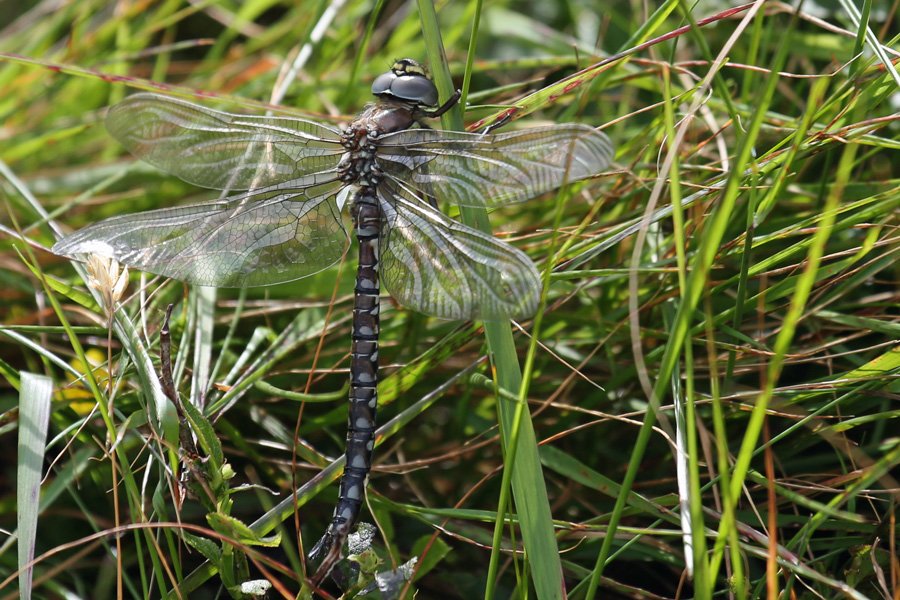
In summer, look out for common hawker and golden ringed dragonflies as well as large red and blue damselflies. Butterflies include fritillaries, speckled wood, Scotch Argus and green veined whites.
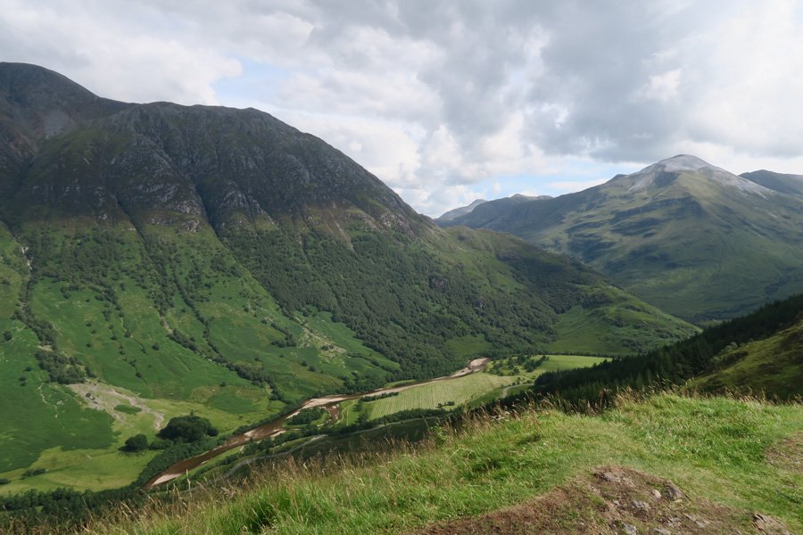
There are some superb views of Ben Nevis, the Nevis Range and Glen Nevis from the Fort. There is also an interesting interpretation board on the fort.
The route follows a section of the West Highland Way providing an opportunity to meet walkers on this long distance route through the West Highlands.
Route Details
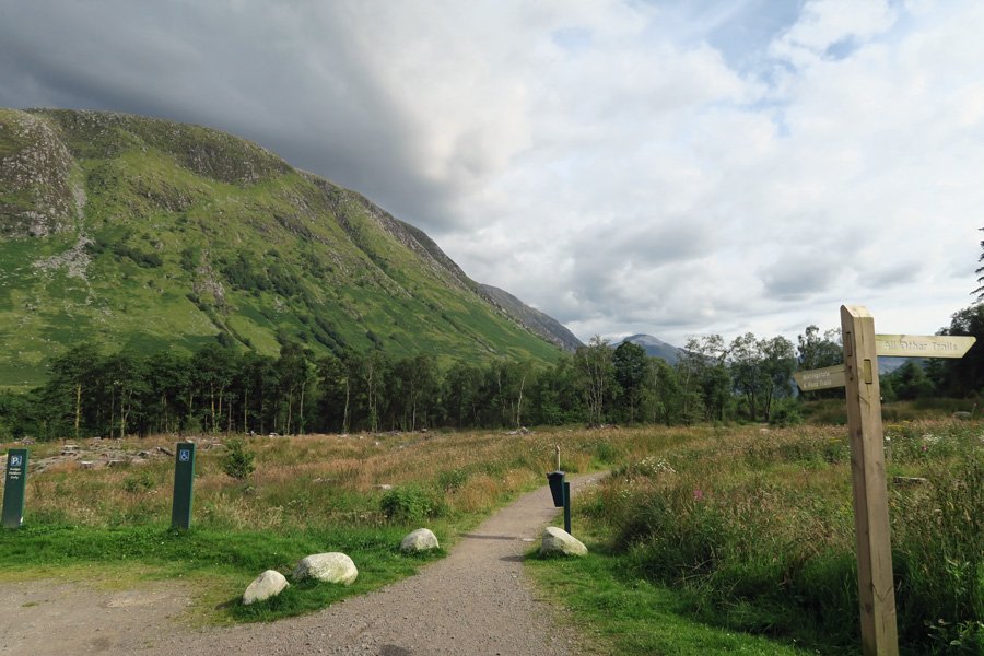
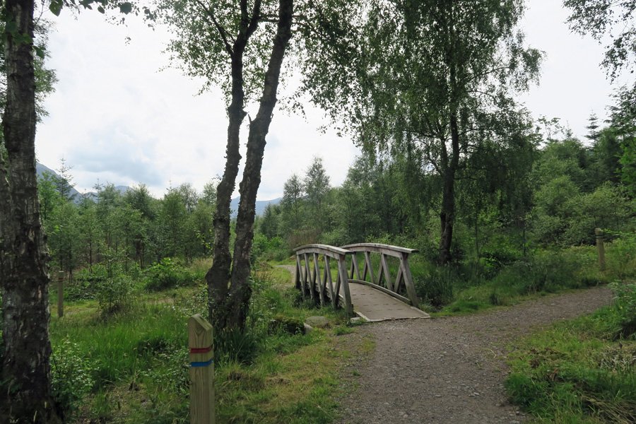
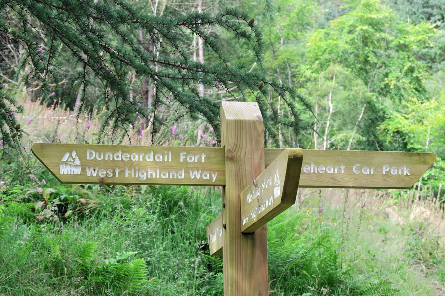
- Park at the Braveheart Car Park in Glen Nevis (free parking). Take the path signposted Wishing Stone and Pond Trails. Cross the bridge and continue straight on through young birch woodland with rowan and alder.
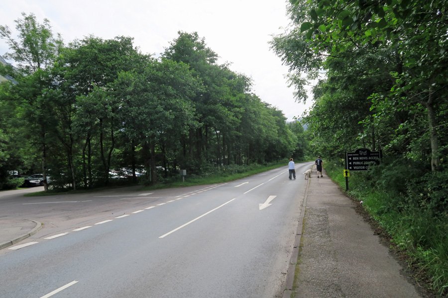
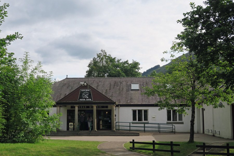
- Turn right onto the pavement when you reach the road and follow the red marker posts. Pass by Glen Nevis Cemetery and Glen Nevis Visitor Centre. There are toilets in the Visitor Centre if required.
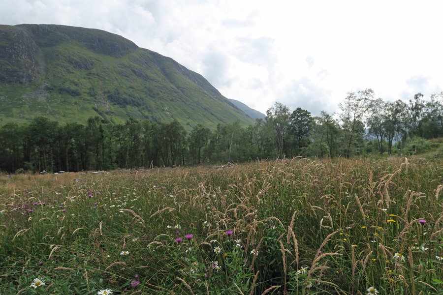
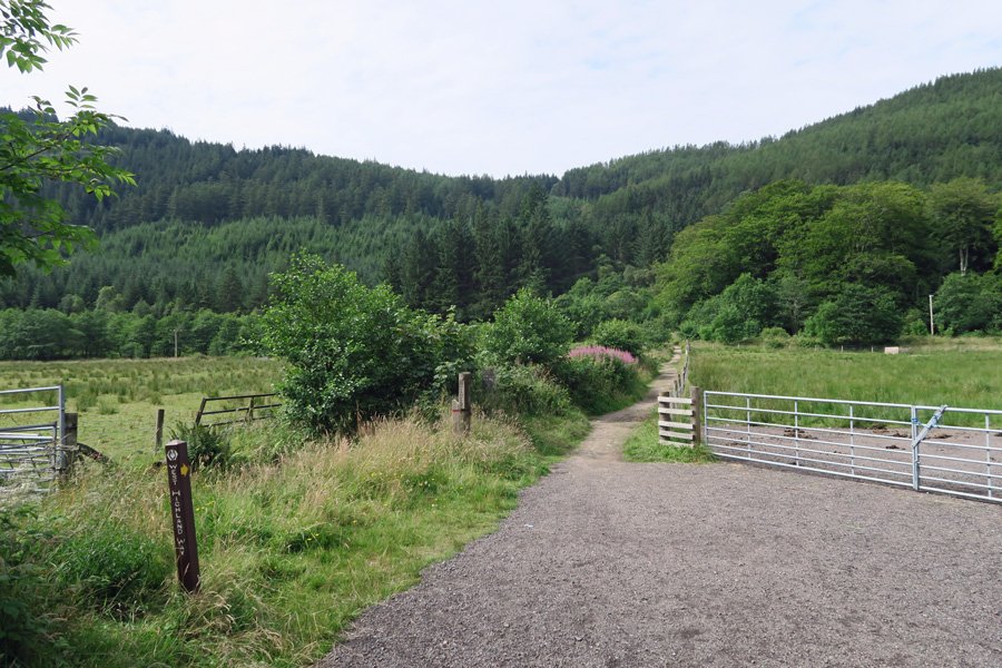
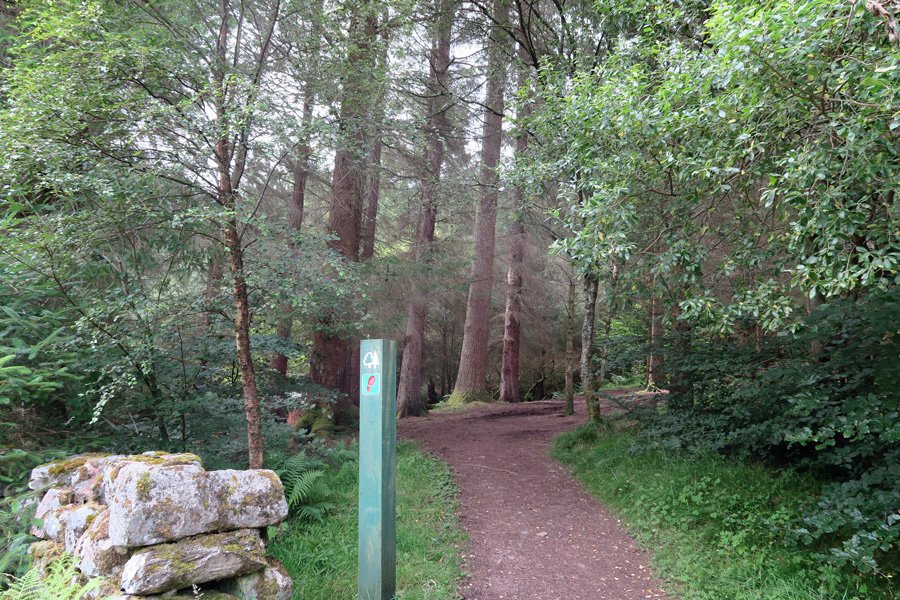
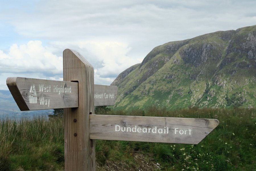
- After about 300 metres from the Glen Nevis Visitor Centre turn right onto a path signposted West Highland Way and with a red marker post. The path traverses through rough pasture before ascending into coniferous plantation.
- Once in the plantation follow the path as it ascends first veering to the right and then to the left before reaching a track.
- Turn left as indicated by the signpost to Dun Deardail Fort (green trail). The track zigzags through coniferous plantation.
- Where the path forks, take the right hand track which ascends gradually as signposted. Take time to enjoy fine views of Ben Nevis and Glen Nevis through breaks in the plantation.
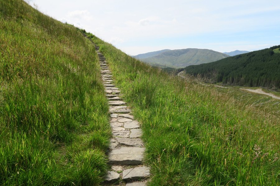
- Continue uphill until you see a path on the left signposted to the fort with an interpretation board. Take this path up through heath and grassland, ignoring the woodland path on the right. The path is gravelled at first and then becomes cobbled as you approach the fort. The final ascent is via stone steps.
- Once at the fort, take time to explore the fort, walking round the embankment to admire the fine views of Ben Nevis, The Nevis Range, Glen Nevis and the River Nevis, the latter some 300 metres below. Scan the hills for golden eagle.
- Return by the same route and follow the track down.
- At the junction, keep left and follow the route signposted to the Braveheart Car park.
- At the next signpost, continue straight on following the track to the Braveheart Car park, rather than returning by the outbound route (a right turn) to avoid the road section.
starting grid ref
parking grid ref
terrain
length
Safety
Route details and information are provided in good faith. All walking is potentially dangerous and it is your responsibility to ensure that you are properly dressed and equipped, have a map and compass, have checked and planned your route in advance and are able to navigate effectively. Maps displayed on these walking pages are intended as an overview of the walk and are NOT suitable for navigation. Please follow the Scottish Outdoor Access Code and respect landowners and residents' privacy. Always check the weather forecast and let others know if you are walking in the hills.


