Caledonian Canal Aqueducts
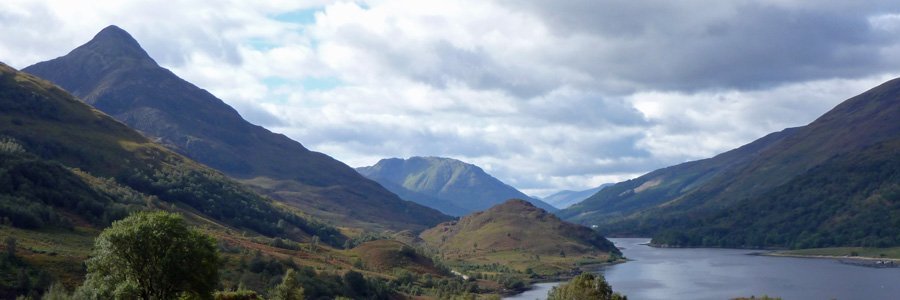
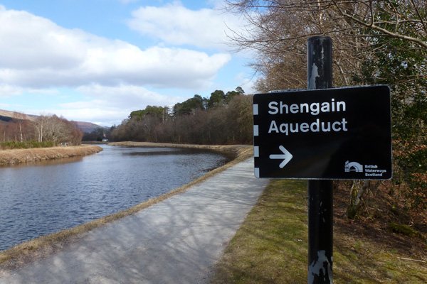
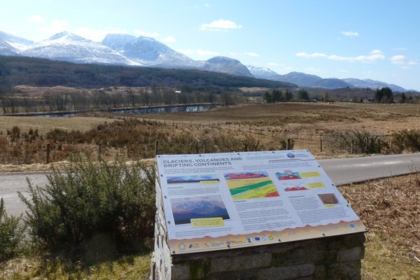
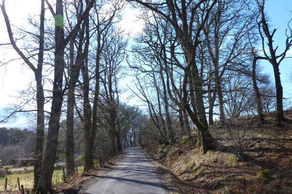
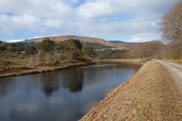
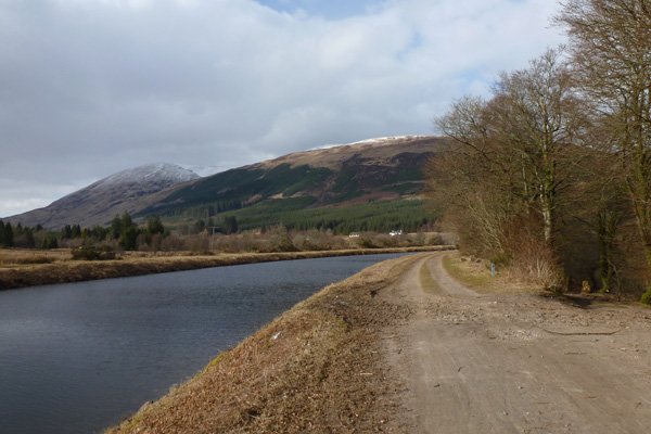
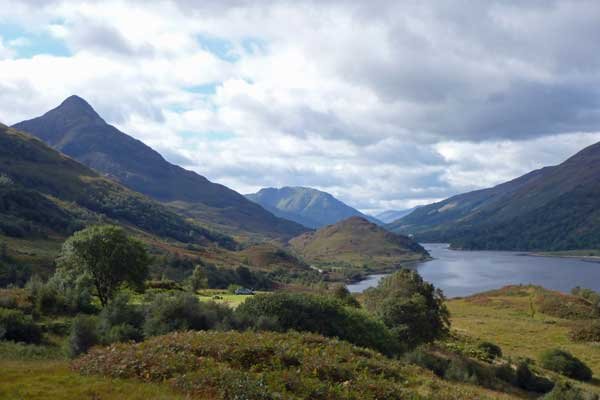
The walk includes a lovely section along the Caledonian Canal passing between two aqueducts (Shengain Aqueduct and Glen Loy Aqueduct), and incorporates part of the Great Glen Way. The road section provides good views of Caledonian Canal and the River Lochy, as well as some lovely hill views, including great views of the Nevis Range. There are also some lovely sections of woodland by the road. The Caledonian Canal was designed by Thomas Telford and constructed between 1803 and 1822, and the section of the canal covered is recognised as part of a Historic Scotland Scheduled Monument (Caledonian Canal: Banavie to Moy Bridge).
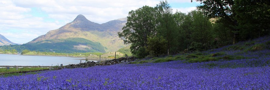
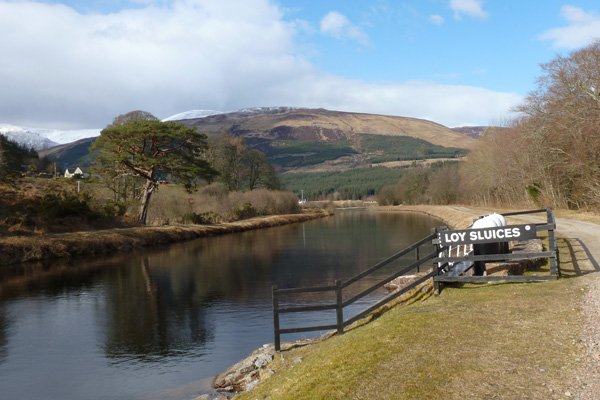
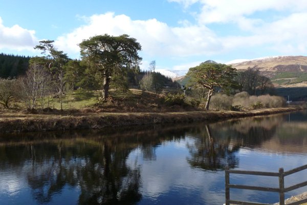
The canal is lined with deciduous trees on route, including ash, sycamore, Scots pine, beech, oak, birch, hazel, willow, holly and hawthorn. The canal skirts also some lovely woodland sections, whose ground flora is awash with bluebells, wood anemones, violets and primroses in Spring. There is also a lovely cluster of mature Scots pine opposite Loy Sluices. The Loy Sluices were designed to carry excess water from the canal to the River Loy below.
There are some interesting interpretation boards on route providing information on the nature and construction of Glen Loy Aqueduct and the Caledonian Canal. Another board details some short walks nearby (Erracht Oakwoods and Strone Viewpoint walks).
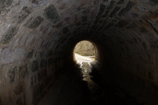
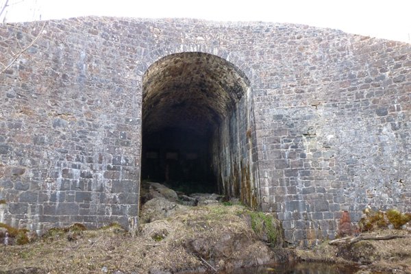
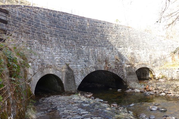
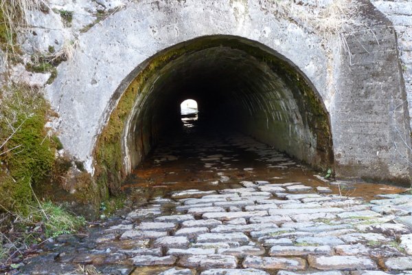
The Glen Loy aqueduct is the largest aqueduct on the Caledonian Canal with three arches, the central arch spanning 7.6 metres and the side arches spanning 3 metres each. The central arch and tunnel was designed to cope with the River Loy in spate; whilst the cobbled side tunnels (over 76 metres in length) were constructed for pedestrian and animal use. The aqueduct is of course rubble construction with some recent cement rendering and was constructed in 1806.
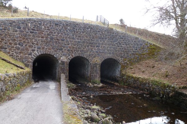
The Shengain Aqueduct at Torcastle spans the Allt Sheangain, with three archways and tunnels of roughly equivalent size; two of arches span the river and one arch spans a the minor road/track. The tunnels are 7 metres long and composed of ashlar paving stone.
Look out for dabbling and diving duck, herons, geese and swans along the canal. Scan the sky for raptors and the woodland fringes for a range of woodland specialists and hedgerow birds.
Route Details
- Park at the Forestry Commission Car Park at Glen Loy where there is a Lochaber Geopark Interpretation Board on 'Glaciers, Volcanoes and Drifting Continents'.
- Turn right and walk along the road (B8004), crossing a river and passing by various houses in the village of Muirshealich. Continue until you reach a cluster of houses just before you reach the river (Allt Sheangain) and a sign to Banavie.
- Turn left into the track by Seangan Croft with a sign to Torcastle House. The track follows the river (lined with hazel and oak) heading towards the first aqueduct at Shengain by the small village of Torcastle. Here the canal crosses over the River Sheangain on a three arched aqueduct.
- Pass through one of the archways (the other two archways bridge the river) and turn immediately left following a path up to the Caledonian Canal.
- Turn right and follow the towpath of the Caledonian Canal enjoying the lovely views.
- Pass by Loy Sluices, shortly after which you come across some interpretation boards and a track that leads down to the Glen Loy Aqueduct.
- Take the track down to the three arched aqueduct spanning the River Loy and go under the aqueduct following the track to the road, although take care as it can be flooded in sections.
- When you reach the road junction (opposite the road to Glen Loy), turn left and head back towards the Glen Loy Car Park.
If the tunnel is flooded and impassable, you have the option of either continuing on the Caledonian Canal until Moy Bridge and picking up the B8004 and returning to the Glen Loy Car Park from here by turn left. Alternatively, you can return by the same route back along the canal.
starting grid ref
Links to useful Information
terrain
length
Safety
Route details and information are provided in good faith. All walking is potentially dangerous and it is your responsibility to ensure that you are properly dressed and equipped, have a map and compass, have checked and planned your route in advance and are able to navigate effectively. Maps displayed on these walking pages are intended as an overview of the walk and are NOT suitable for navigation. Please follow the Scottish Outdoor Access Code and respect landowners and residents' privacy. Always check the weather forecast and let others know if you are walking in the hills.

