Glengarry Native Pinewoods
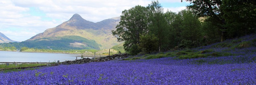
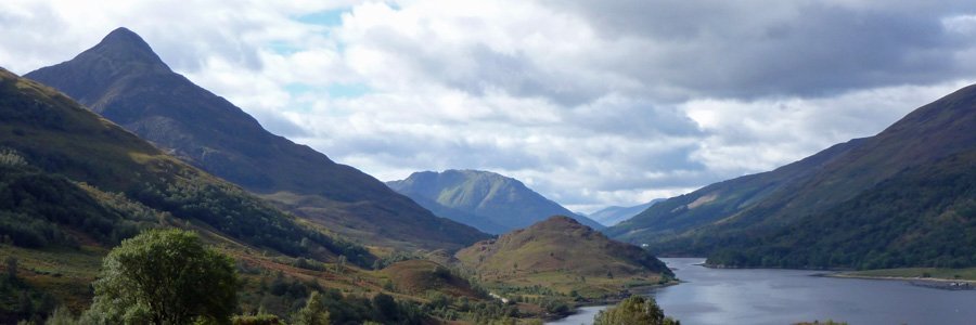
There are two lovely short walks in the Forestry Commission Glen Garry Native Pinewoods (Ciste Dubh Trail and Alt na Cailliche). Both routes pass through deciduous and pine woodland in The Glen Garry Forest Area, following the River Garry for part of the way, and affording some lovely views.
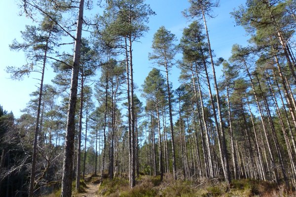
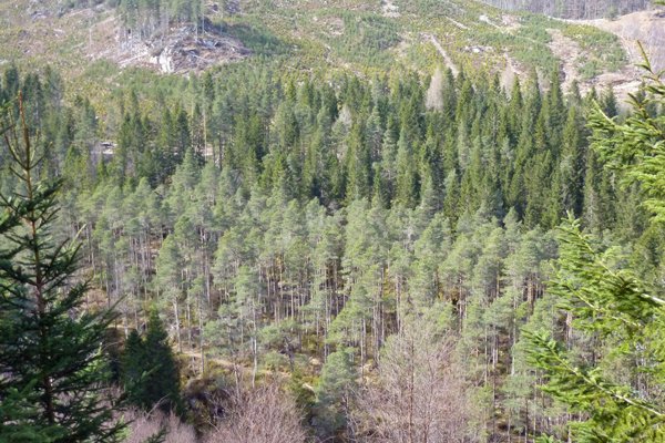
The deciduous woodland consists of oak, birch, rowan, alder, willow, holly and hazel. The coniferous forest consists of Scot’s pine and plantation woodland. The ground flora consists of heather (Calluna vulgaris), bilberry (Vaccinium myrtillus) and cowberry (Vaccinium vitis-idaea) assemblages. There is a rich and diverse bryophyte flora dominated by Hylocomium splendens (Glittering Wood-moss), with Plagiothecium undulatum (Waved Silk-moss), Dicranum scoparium (Broom Fork-moss), Rhytidiadelphus loreus (Little Shaggy-moss), Pleurozium schreberi (Red-stemmed Feather-moss) and Ptilium crista-castrensis (Ostrich-plume Feather-moss).
The bedrock geology is metamorphic psammite formed between 545 to 1000 million years ago from sedimentary rocks. There are also superficial glacial deposits.
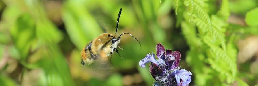
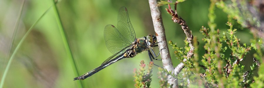
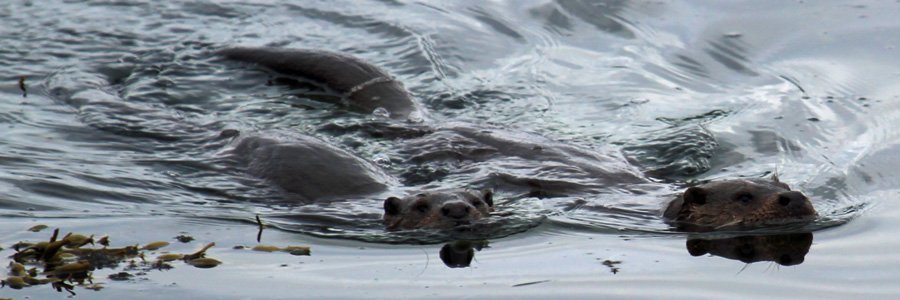
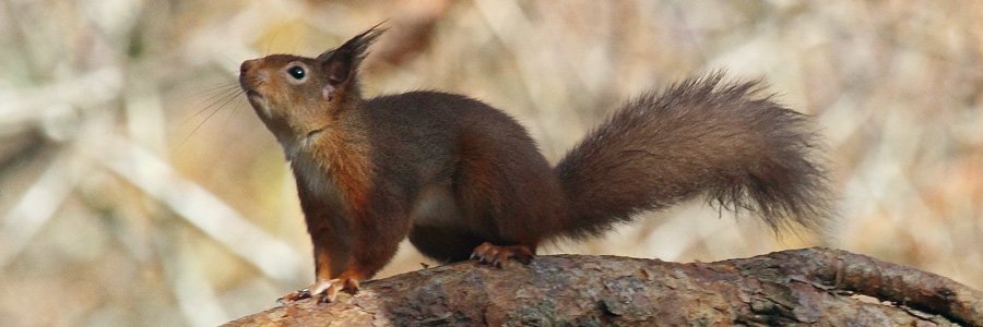
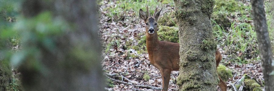
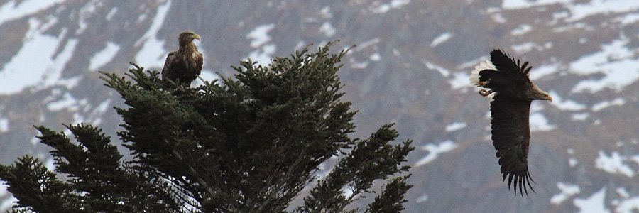
Look out for dippers and otter on the River Garry, and raptors along the skyline. Listen out for black grouse, siskins, crossbills, coal tits and crested tits in the conifer woods. Look out for the tracks and signs of pine marten, wild cat and red squirrel.
Both walks start from the large Forestry Commission Glen Garry car park, across the White Bridge, as signposted from A87.
The Ciste Dubh Trail
A lovely short woodland walk with fine views of River Garry. There is an interpretation board on route on salmon migration and some of the species likely to be seen on route.
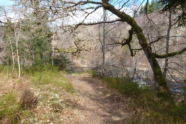
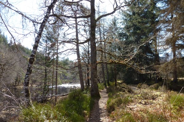
The walk initially passes through a lovely section of deciduous woodland, with birch, oak, alder, rowan and beech and a bilberry-cowberry (Vaccinium myrtillus and V. vitis-idaea), understorey with heather (Calluna vulgaris) and Wavy hairgrass (Deschampsia flexuosa), and then into coniferous woodland. Conifer species include spruces, pines and larch. There are some fine specimen trees on route including mature Scots pine, and many of the trees are strewn with lichens and mosses. There are some lovely bryophyte assemblages assocaited with the woodlands.
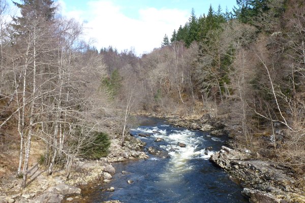
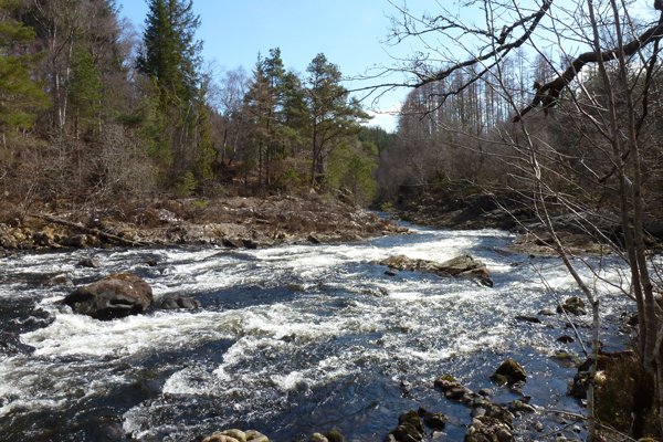
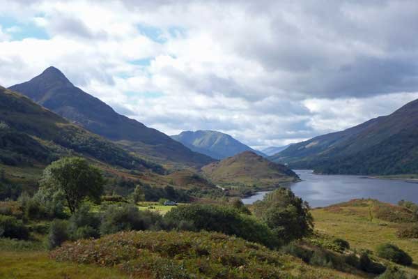
Stunning views are afforded of the fast flowing, boulder strewn River Garry and the hills beyond.
Route Details
- The Ciste Dubh Trail starts at the far end of the car park on the right and follows the River Garry upstream on a distinct path. The path is skirted by the River Garry to the right, and deciduous woodland to the left merging into coniferous woodland on route.
- Pass by an interpretation board on salmon migration and then cross a small stream.
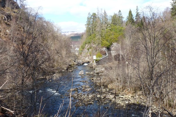
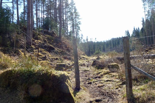
- Pass by a wooden fenced viewpoint for the dam and Hydro-electricity scheme. Shortly after which, turn a sharp left through a gateway on a well defined path/track. The path passes through spruce plantation, with some rowan and birches, and an understorey of heather and bryophytes assemblages.
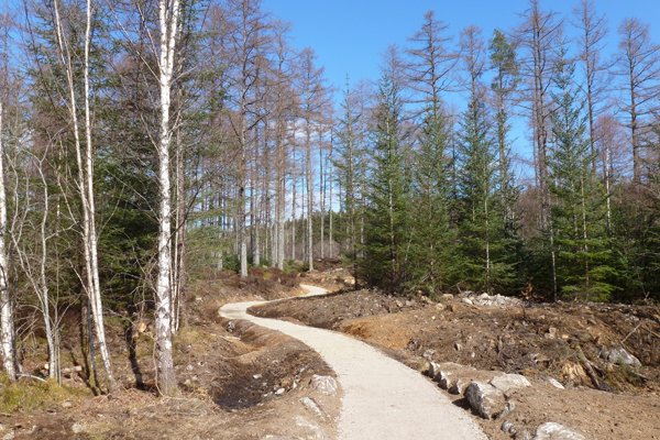
- Take the gravel path on the left as the track starts to descend and veers to the right. The path descends to the car park through a plantation of larches.
Alt na Cailliche
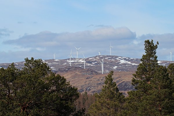
A lovely walk initially following the watercourses, the River Garry and Alt na Cailliche to a viewpoint by a waterfall. The section along the River Garry, whose fast following water is impeded and diverted by outcrops and mini-islands, is particularly lovely. There are also some fine views on your return journey of the surrounding hills.
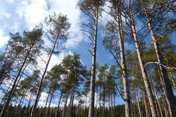
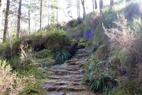
The route passes through deciduous woodland, plantation and a lovely section of Scot’s pinewood with bilberry-cowberry-heather understorey (Vaccinium myrtillus, V. vitis-idaea and Calluna vulgaris) with hard fern (Blechnum spicant). The route finally passes through some plantation woodland and skirts by heath, with birch and willow encroachment. There are some fine specimen trees on route (including beeches and mature pines), some strewn liberally with fructiose lichens.
There are some lovely bryophyte assemblages that include Hylocomium splendens (Glittering Wood-moss), Plagiothecium undulatum (Waved Silk-moss), Rhytidiadelphus loreus (Little Shaggy moss) and Ptilium crista-castrensis (Ostrich-plume Feather-moss), associated with the coniferous woodland.
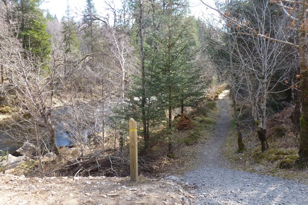
The route is on a well defined path and way marked (yellow signposts).
Route Details
- Pick up the yellow marker posts at the entrance of the car park and follow the River Garry downstream. This is a lovely section of the walk with the river on left and a strip of mainly spruces and larches on the right with an understory of Calluna vulgaris- Vaccinium spp. The coniferous fringe is soon replaced by deciduous fringe of oak, birch and beech.
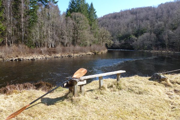
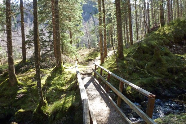
- Where you come across two bridges, you can take a short detour to a lovely picnic area across a couple of dilapidated bridges and through birch woodland. The path emerges into open grassland, where there is a small bench overlooking the river. Return by the same route. However, please note that bridge crossing is done at your own risk and should be avoided if in doubt.
- Continue on the path, veering left slightly following the watercourse. Ignore the path on the left and ascend through a lovely section of spruce plantation with a rich bryophyte ground flora.
- Where the path diverges, keep left following the watercourse, and cross a small stream as signposted.
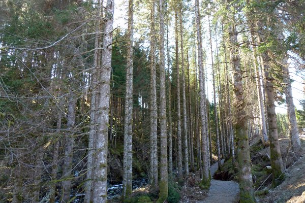
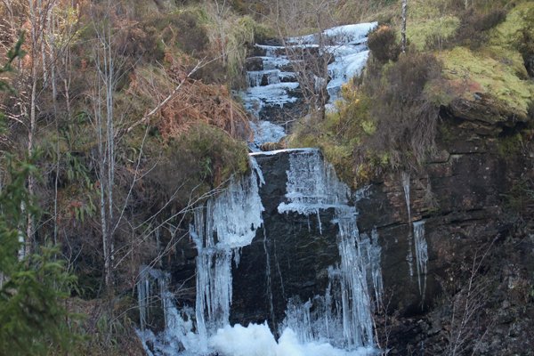
- The path now takes you through some lovely pine woodland with bilberry-cowberry-heather understorey. The path ascends passed a small waterfall and then onwards onto a viewpoint overlooking another waterfall.
- At the T junction, turn left and descend through a mixture of plantation and pine woodland.
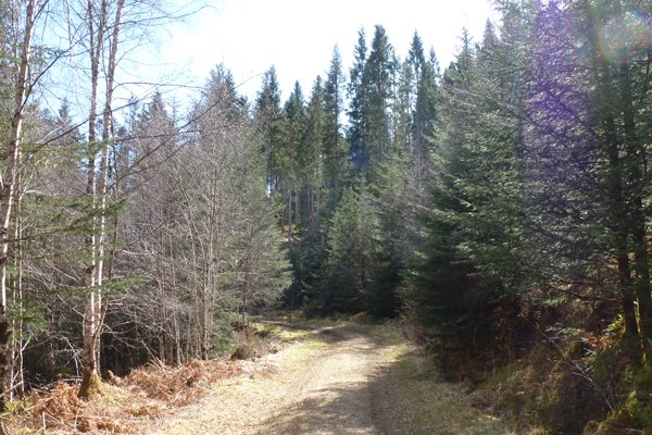
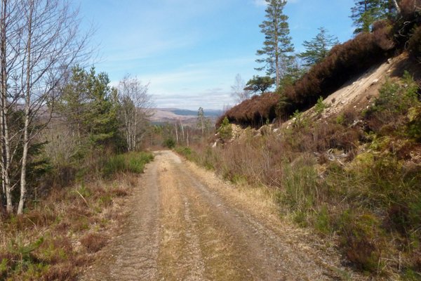
- At the next T-junction, turn left as directed onto a wide grassy/gravel forest track, crossing the watercourse, shortly after which the track begins to descend. The track passes through mixture of heath and birch woodland, affording fine hill views.
- Take the path on the left as signposted and descend onto a gravel path through birch woodland.
- Cross the road and continue to descend as signposted passing by some fine specimen beeches.
- Cross the bridge and retrace your steps back to the car park.
starting grid ref
terrain
length
Safety
Route details and information are provided in good faith. All walking is potentially dangerous and it is your responsibility to ensure that you are properly dressed and equipped, have a map and compass, have checked and planned your route in advance and are able to navigate effectively. Maps displayed on these walking pages are intended as an overview of the walk and are NOT suitable for navigation. Please follow the Scottish Outdoor Access Code and respect landowners and residents' privacy. Always check the weather forecast and let others know if you are walking in the hills.

