Jubilee Bridge
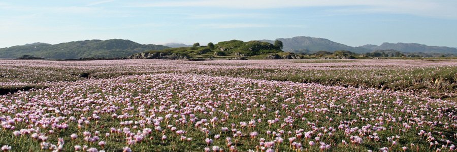
The Jubilee Bridge was built in 1898 to celebrate Queen Victoria’s Diamond Jubilee and was designed to provide easy access to the Free Church from Portnacroish and, later, to the Railway Line (Ballahulish to Oban). The bridge spans the saltmarsh, known locally as The Marach, and has been described as an ‘iconic symbol’ of Appin life’. The lovely fringe of salt marsh is dissected and punctuated by numerous dendritic channels and small pools and hued with pink in Spring.
The walk is supported by an interpretation board providing information about the Jubilee Bridge, the walk, the different habitat types and local biodiversity that might be seen on route, as well as a pictorial map of the area. The board has been produced by the Argyll and Bute Local Biodiversity Group. There is also an information board with a selection of Field Studies Council Fold-out charts on salt marsh plants, seaweeds, birds and mammal tracks and signs.
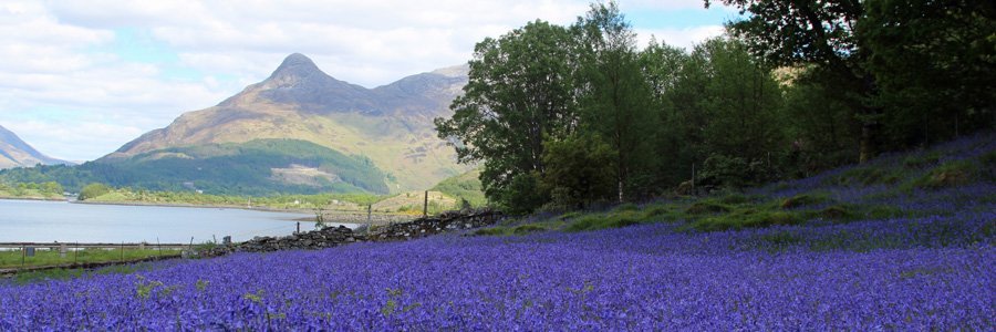
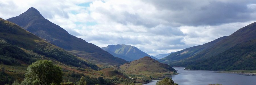
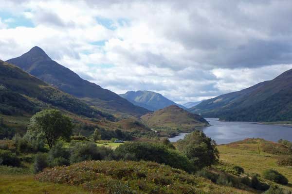
There are some lovely views of Castle Stalker, Loch Laich, Loch Linnhe, Shuna Island and the surrounding hills of Kingairloch. There are also a few benches on route.
The walk includes a section of tarmac track by the coast, a section of boardwalk, and a section of disused railway line, before returning via a minor road (Appin to Port Appin). The walk follows a cycle route for much of the way. There are some lovely wooded sections on route, as well as some stunning views. The section along the disused railway line is particularly lovely, lined with hazel, alder, ash, birch, oak, willow, holly and hawthorn, with dogs mercury (Mercurialis perennis), lesser celandine (Ranunculus ficaria), primrose (Primula vulgaris), wild strawberry (Fragaria vesca), coltsfoot (Tussilago farfara ) and wild garlic (Allium ursinum) as an understorey. The trees are variously clad in lichens.
The section of road skirts by rough pasture on the right and affords some stunning views of Castle Stalker in the distance. The left side is variously clad with mixed woodland (with birch, hazel, beech, willow, holly and oak).
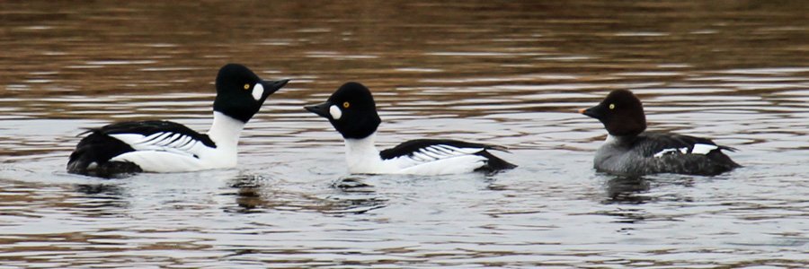
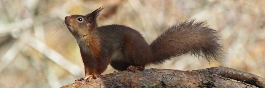
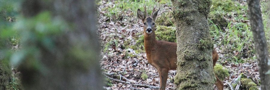
Look out for a range of birds associated with the coast, woodland and open ground.
Castle Stalker surmounts a rocky islet in the mouth of Loch Laich and is accessible only by boat. The tower house was believed to have been built around 1540 by the Stewarts of Appin on the site of a 14th century fortified building (fortalice), although an earlier date of mid 1400s has also been proposed.
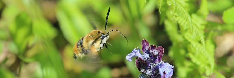
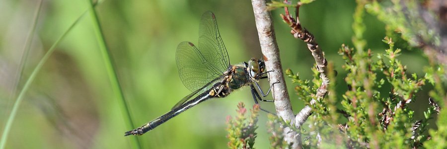
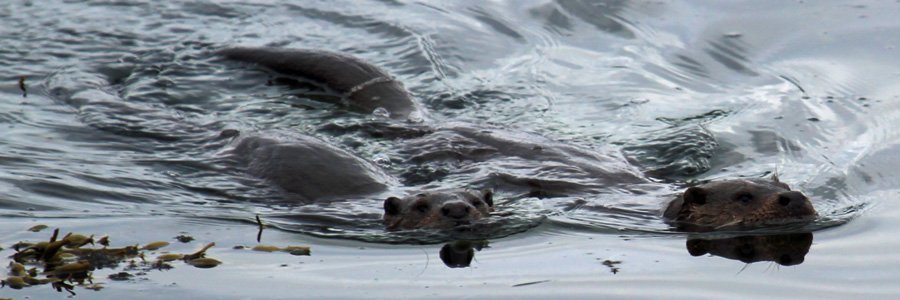
This is a lovely short walk to admire a range of habitat types, some Victorian engineering and some fine views. The walk also affords some good bird and wildlife spotting opportunities on route.
Route Details
- Park at the small car park by the start of the walk on the minor road off A828, just west of Appin. Head off on the tarmac track passing by an interpretation board.
- The walk initially skirts around the coast on a tarmac path. Look out for coastal birds on route. Soon the Jubilee Bridge comes into sight. Cross over the wooden bridge and then across a section of board walk across salt marsh/rough pasture. Pass by a lovely, small copse of alder and hazel by a watercourse, carpeted with ransoms, lesser celandine and wood anemone in Spring.
- Pass through a gate/cattle grid onto the old disused railway line, now tarmac track lined with trees.
- Pass by a primary school and information board, shortly after which turn right at the signpost (Appin Loop). Veer left onto the road to Lonruadh Cottages, before turning right at the next signpost.
- Follow the minor road back to the start point. The road skirts by rough pasture and woodland and provides fine views of Castle Stalker.
starting grid ref
Links to useful Information
terrain
length
Safety
Route details and information are provided in good faith. All walking is potentially dangerous and it is your responsibility to ensure that you are properly dressed and equipped, have a map and compass, have checked and planned your route in advance and are able to navigate effectively. Maps displayed on these walking pages are intended as an overview of the walk and are NOT suitable for navigation. Please follow the Scottish Outdoor Access Code and respect landowners and residents' privacy. Always check the weather forecast and let others know if you are walking in the hills.

