


An Torr and Signal Rock
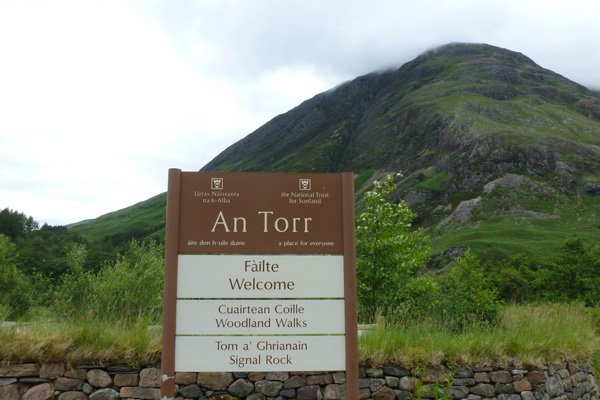
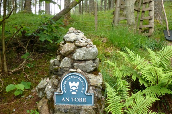
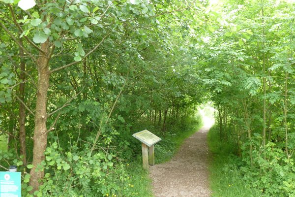
A lovely short walk through coniferous plantation to Signal Rock; reputed to be a gathering place for the MacDonalds of Glencoe at times of trouble and the place where, according to legend, the signal was given by the Campbells for the Glencoe Massacre; although no evidence exists for the latter. There is an information board at the car park detailing the paths in the woodlands of Ann Torr and providing some information on the woodland biodiversity and management. An Torr is managed by the National Trust for Scotland.
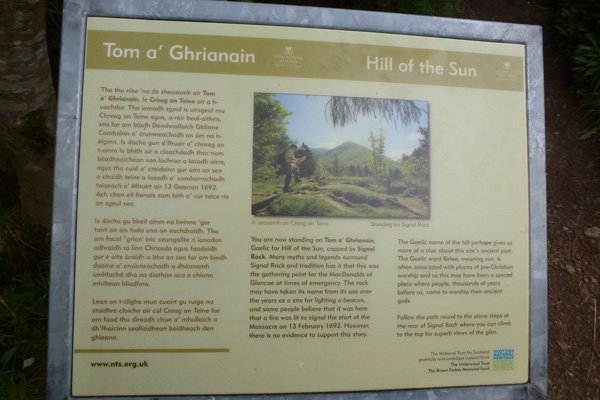
There is also an interpretation board by the Signal Rock stating that the walker is on Tom a’ Ghrianain (The ‘Hill of the Sun’), which is surmounted by Signal Rock. The board describes the various uses made of Signal Rock including an assembly point for the McDonalds of Glencoe in times of emergency. It is also thought to be used as a beacon point, and according to legend was used by the Campbells to signal the start of the infamous Glencoe Massacre on 13th February 1692. However, there is little evidence for its role in the massacre. The hill is associated with pre Christian rituals. Formerly, the signal rock may have been visible from all sides in the Glen, but now it is obscured from view by trees.
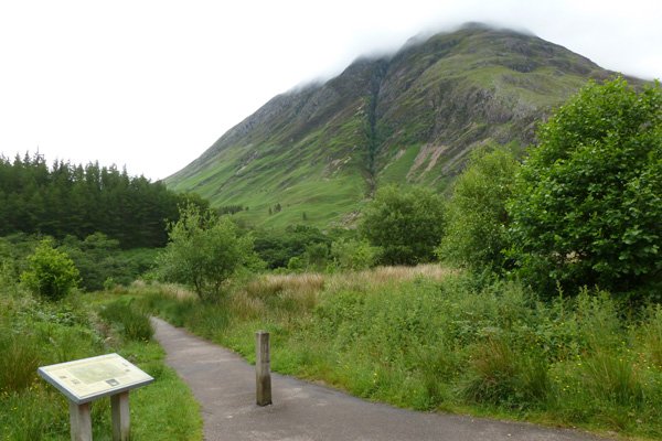
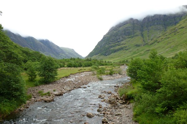
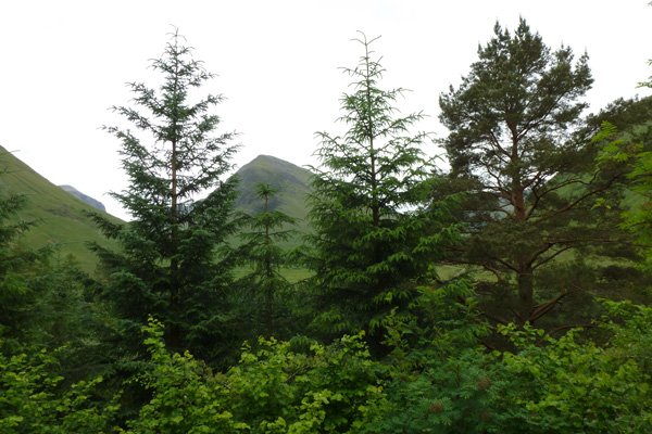
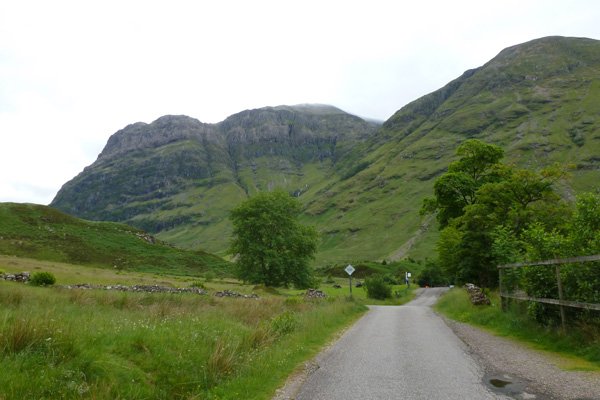
There are some lovely hill views on route including views to Sgorr nam Fiannaidh, Meall Mor and Bidean nam Bian.
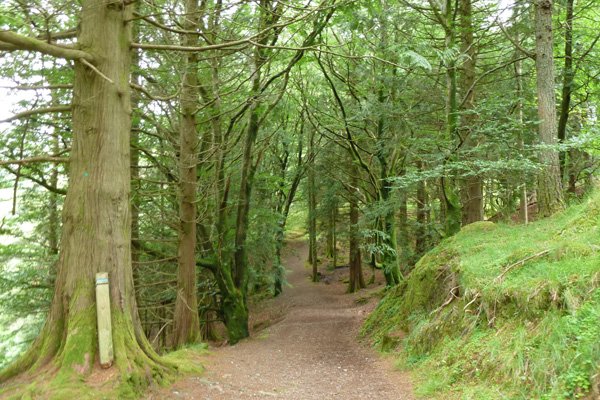
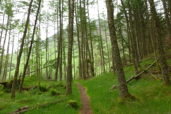
The walk passes through some lovely sections of coniferous plantation (mainly spruce) with scattered alder, beech, sycamore, Scots pine and larch, with a ground flora of violets, sorrel, St John’s wort, bugle, tormentil, heather, bell heather, heath speedwell, great woodrush purple moor grass, hard fern and shield ferns.
There is also a small section of deciduous woodland with hazel, hawthorn and rowan by Signal Rock, with a ground flora of yellow pimpernel, primrose, bluebell, wood sage creeping buttercup and devil’s bit scabious.
The final section along the River Coe is also lovely, lined with alder, birch, willow, ash, oak, holly and hazel.
Look out for roe deer, bank vole, shrew, red squirrel, pine marten, as well as the avian conifer specialists such as goldcrest, coal tit and siskin. Scan the ridgeline and mountain tops for golden eagle.
The bedrock geology is igneous (silica rich magma) from the Devonian Period part of the Glencoe Ring Intrusions.
Route Details
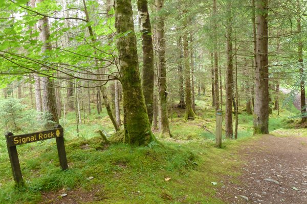
- Park at the car park off the A82 signposted (signal rock), just west of the minor road to Clachaig Inn and Glencoe.
- Take the tarmac path by the interpretation board through willow and alder scrub.
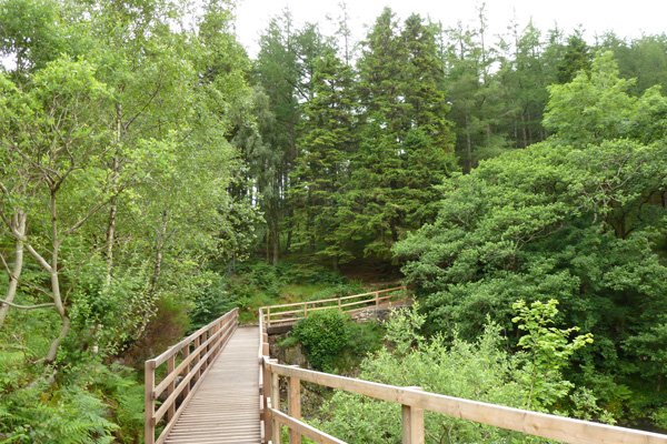
- Cross the wooden bridge over the River Coe which affords some fine hill and river views.
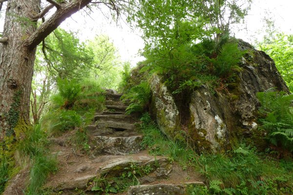
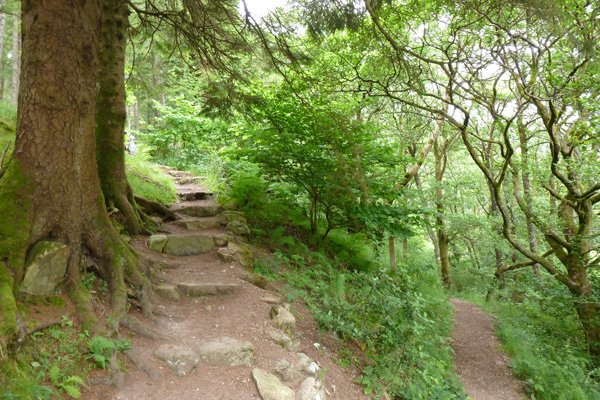
- Climb the steps on the left up that lead up to the entrance to An Torr. Enter through a deer gate into the coniferous plantation following the trail marked blue and black.
- Where the path diverges, take the left fork initially descending through a lovely section of spruce plantation. As the path gradually descends, keep right, following the wooden sign post marked blue and black
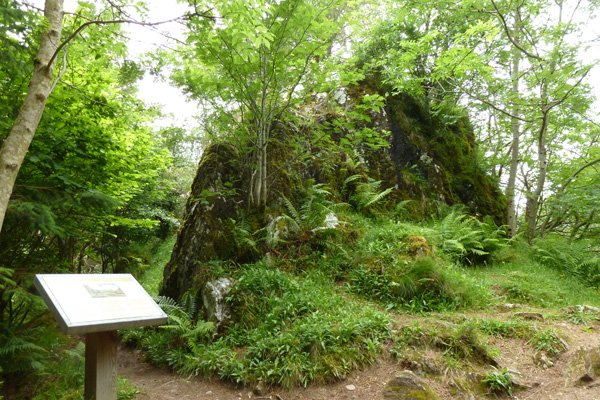
- At the next junction bear left to descend and follow the blue trail on this undulating path. Pass through another deer gate before descending again. The path finally ascends to the Signal Rock, where there is an interpretation board. The board states that you are standing on Tom a’ Ghrianain (the Hill of the Sun), capped by Signal Rock.
- Take time to explore the signal rock; there is a path to the side which allows access to the rock at its rear. Views from Signal Rock obscured by trees.
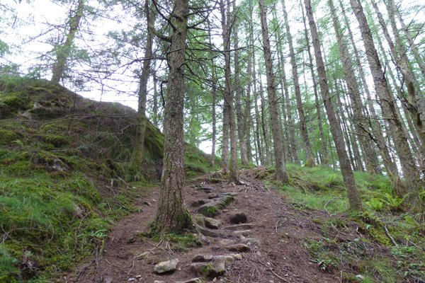
- Return from the rear of the rock and retrace your steps. Go back through the deer gate. At the junction, turn left taking the black way marked route on a small path. The path descends crossing a small stream before ascending fairly steeply through spruces and larch plantation following a zigzag path. There are some fairly steep sections along this path; this ascends to the top of An Torr.
- Turn right where the path diverges for a short detour to a view point with lovely hill views. Return by the same route.
- Take the path that descends down the hillside through mixed coniferous plantation`. Keep right at the signpost.
- At the T junction, turn right and return on the black and blue way marked trail back to the car park, keeping left.
- Alternatively, turn left at the T-junction and descend the hill. There are some stunning hill views of ridge of Aonach Eagach with the infamous Clachaig Gully.
- Pass through a metal deer gate and turn right onto the minor road that passes by the side of the Claichag Inn.
- Immediately after the red iron, turn right onto a riverside path. The path follows the river and indicated by an interpretation board on An Torr. This is a lovely section of the walk, the river lined with tress , with heath beyond, merging into wet meadow with creeping buttercup, common sorrel, common valerian, knapweed, bedstraw and pignut. This section also affords an opportunity to give close to the River Coe.
- Cross a boardwalk bridge and return back across the wooden bridge over the River Coe to the car park. There are fine views of Bidean nam Bian.
starting grid ref
Links to useful Information
terrain
length
Safety
Route details and information are provided in good faith. All walking is potentially dangerous and it is your responsibility to ensure that you are properly dressed and equipped, have a map and compass, have checked and planned your route in advance and are able to navigate effectively. Maps displayed on these walking pages are intended as an overview of the walk and are NOT suitable for navigation. Please follow the Scottish Outdoor Access Code and respect landowners and residents' privacy. Always check the weather forecast and let others know if you are walking in the hills.


