Glencoe Woodland Walk
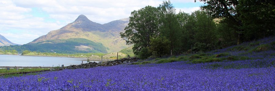
A lovely circular woodland walk through mixed deciduous woodland and plantation with some fine mountain views.
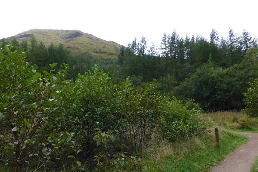
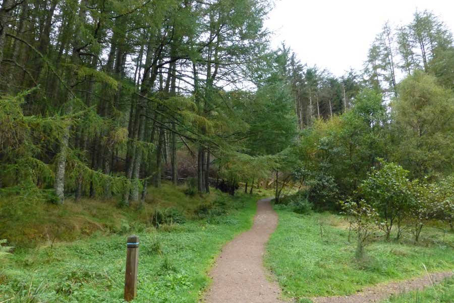
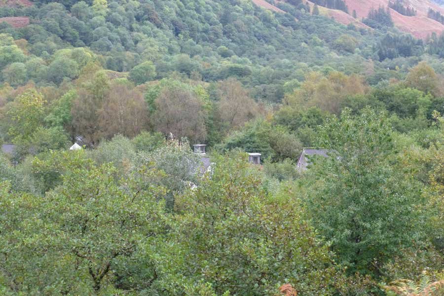
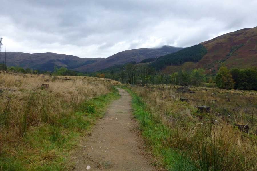
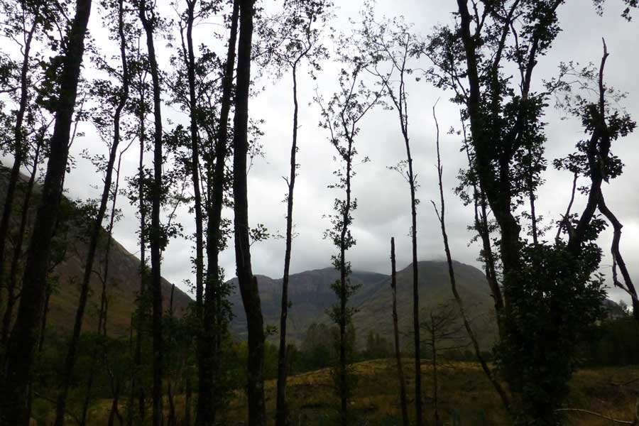
The path initially takes you through coniferous plantation woodland with a bryophyte understorey. There are also some lovely sections of mixed deciduous woodland on route composed of oak, alder, willow, hazel, birch, rowan, elm, ash and sycamore, with clumps of tufted hair grass and male fern. There are also some open areas of grassland/heath on route dominated by purple moor grass with marsh violet, bog myrtle and bryophyte assemblages in the wetter areas. The plantation woodland is gradually being replaced by native woodland species such as birch, ash, rowan, willow and Scots pine, under the management of the NTS.
The walk also passes by the ruined house at Inverigan which dates from the late 1800s. A former dwelling house on the site witnessed the brutality associated with Massacre of Glencoe, when a total of 38 men, women and children of the Clan MacDonald were 'put to the sword' by government troops on 13th February 1692. Nine Scots pine trees commemorate the nine inhabitants who are thought to have lost their lives on this very spot.
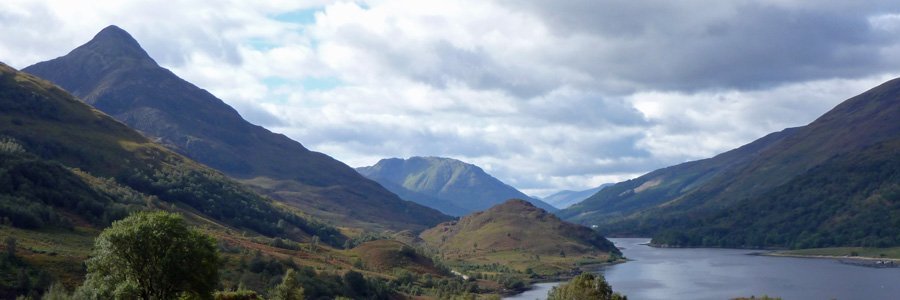
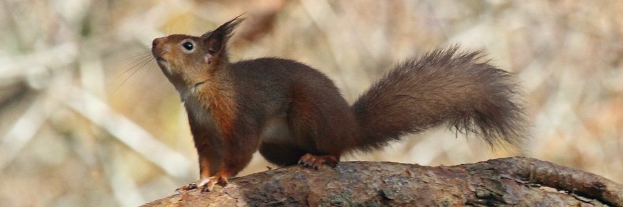
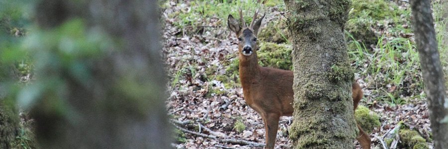
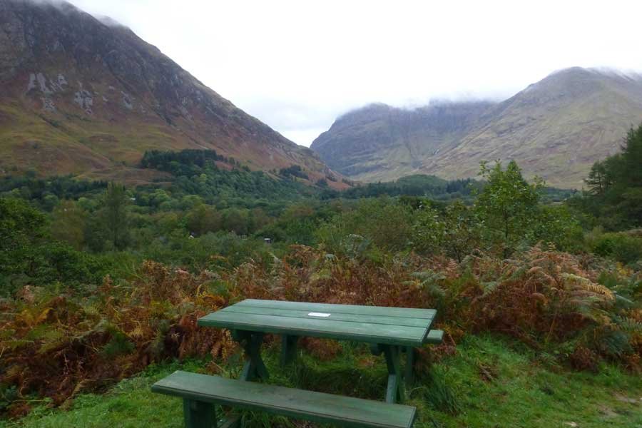
There is also an opportunity to climb a small hill to more fully appreciate the impressive landscape of Glencoe with its towering mountain peaks, as well as the eco-features of the NTS Visitor Centre. Look out for red squirrels, roe deer and pine marten in the woodlands.
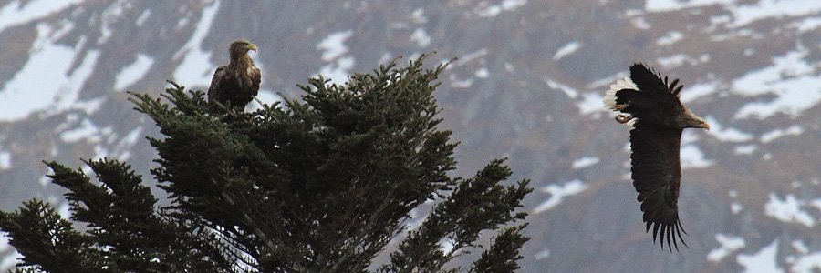
Look out for raptors soaring amongst the peaks and crags.
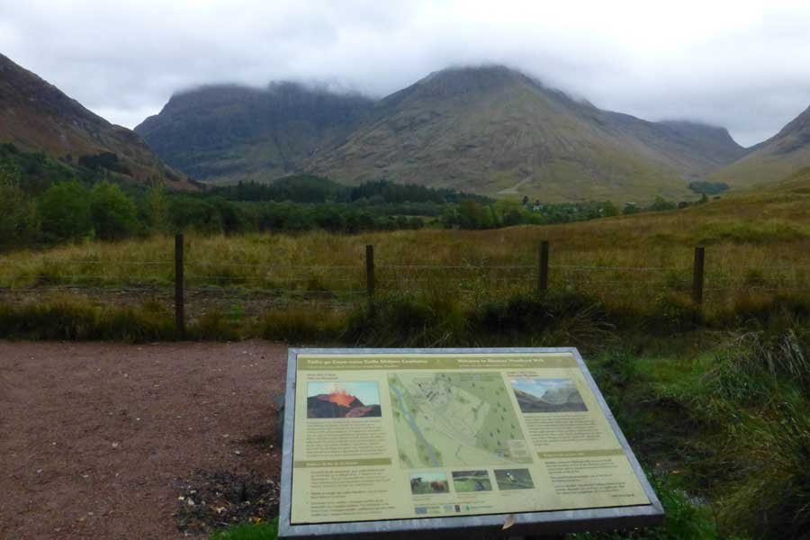
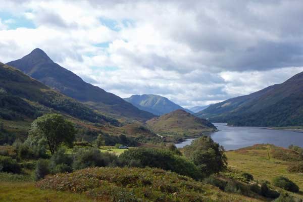
This is a great walk to admire the amazing mountainscape of Glencoe, dominated by the Aonach Eagach ridge (Notched Ridge) in the north, a rocky ridge with two Munro summits, which stretches for 10km from the Devil’s Staircase in the east to Sgorr na Ciche (the Pap of Glencoe) in the west. You should also be able to pick out Aonach Dubh, the Black Ridge, the most westerly of the Three Sisters of Glencoe.
Route Details
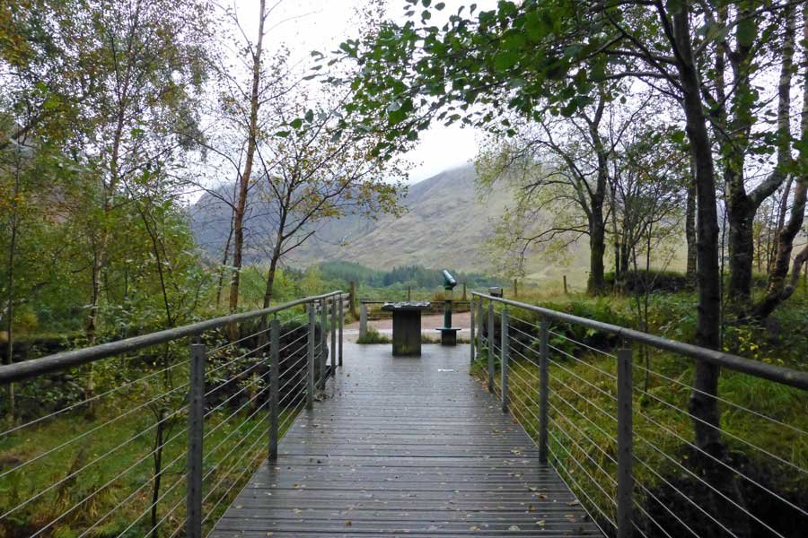
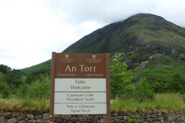
- The walk starts from the viewing platform at Glencoe National Trust Visitor Centre. The start of the walk is marked by an interpretation board depicting the route and things to see.
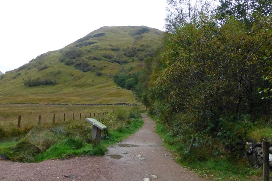
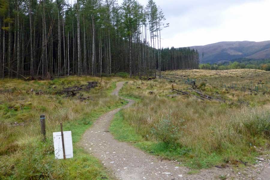
- Take the ascending gravel path which provides some fine views of the towering mountains of Glencoe. Cross over a wooden bridge and continue through rough grassland with alder encroachment. At the T junction, turn left onto the blue/back trail. Then turn right as directed heading through a coniferous plantation (larch/spruce).
- If desired, you can take the short detour (as directed) to a bench and picnic area adjacent to a small pond.
- Continue on the path through the woodland and cross a small stream, after which the path diverges. Take the right path as a detour to follow the black trail to the top of a small hill, where there is a picnic bench. The hill provides some fine views of the surrounding mountainscape and the NTS Visitor Centre. Retrace your steps and return to the blue trail, (ignoring the path on the left).
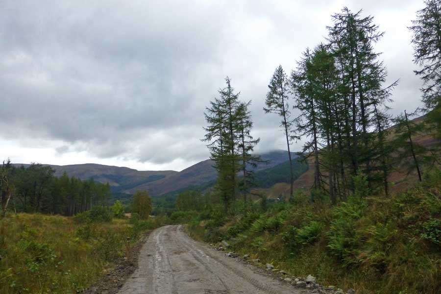
- Continue on the blue trail which skirts a stream with spruce plantation on the left. Turn right at the junction with a forest track. Walk along the track as directed, admiring the fine hill views on the right.
- Turn left as directed onto a gravel path. At another T junction, turn right as directed, skirting back on the outbound route. At the next T-junction, turn left as directed onto the forest track. The track skirts the road, with a campsite on the right.
- At the tarmac road, turn left and head back to the car park, following the signs to the Visitor Centre.
starting grid ref
Links to useful Information
terrain
length
Safety
Route details and information are provided in good faith. All walking is potentially dangerous and it is your responsibility to ensure that you are properly dressed and equipped, have a map and compass, have checked and planned your route in advance and are able to navigate effectively. Maps displayed on these walking pages are intended as an overview of the walk and are NOT suitable for navigation. Please follow the Scottish Outdoor Access Code and respect landowners and residents' privacy. Always check the weather forecast and let others know if you are walking in the hills.

