


Glen Creran Pine Marten Trail


A very pleasant walk from plantation with some fine views, historical connections and good wildlife spotting opportunities. The walk is signposted and on a good gravel path.
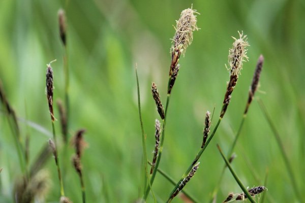
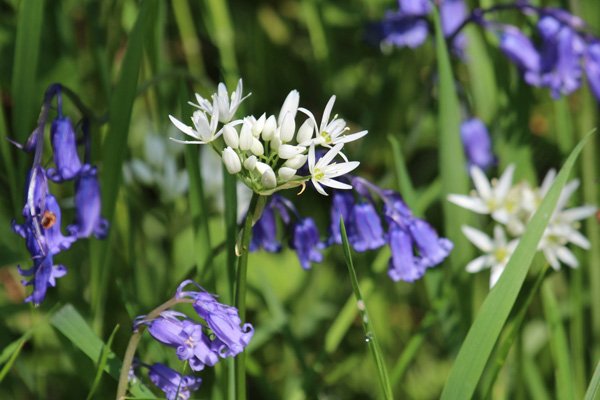
The walk mainly passes through coniferous plantation of Sitka spruce and birch/willow scrub. However, there are also some lovely section of mixed deciduous woodland of beech, oak, birch, alder, ash and hazel, with an understory of bilberry (Vaccinium myrtillus) and shield ferns. There are also some lovely stands of hazel with a bluebell understorey that are a joy to behold in Spring. The verges are lined with bugle, wild strawberry, tormentil, eyebright, yellow pimpernel and violets. There are also localised patches of dogs’s mercury and bluebell as an understorey to birch, ash and alder.
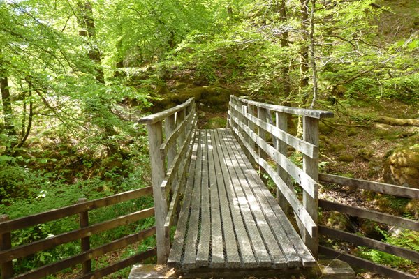
The bedrock is metamorphic, Leven Schists (semipelite, quartzite and pelite), formed 545 to 100 million years ago from sedimentary rocks. The water course, Allt Coire Mulrooney, forms a stunning gorge as it cuts through the bedrock.
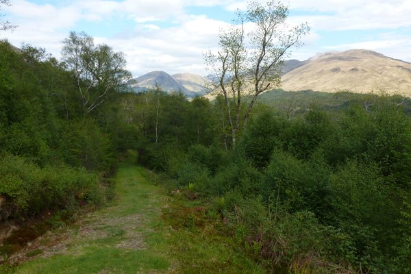
There are some lovely hill views on route including those across Glen Ure and towards Beinn Sgulaird.
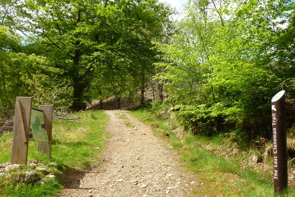
Glen Ure has earned some infamy due to its association with Colin Campbell who became laird of Glen Ure in middle 18th century. Robert Louis Stevenson described Colin Campbell as the Red Fox in his novel Kidnapped and he was the victim of the notorious Appin Murder in 1752. These were very troubled times following the unsuccessful uprising of Bonnie Prince Charles in 1745 The interpretation board on route describes the life and demise of Colin Campbell as part of The Last Clansman Trail. The Last Clansman Trail identifies sites (using the Appin Regiment banner) and properties throughout Argyll associated with the story of The Appin Murder.
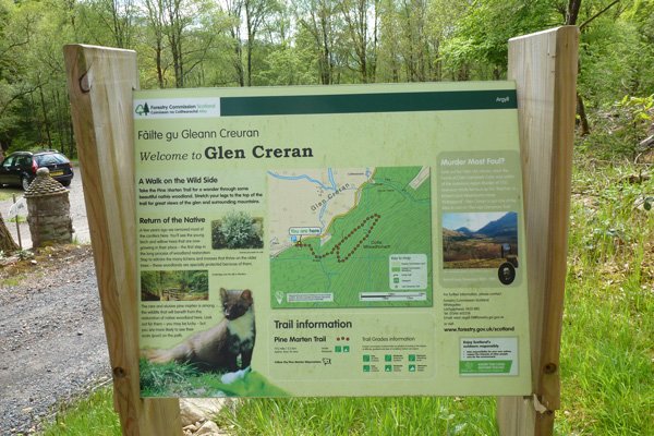
There is an information board at the start of the walk, showing the route and providing information about the area and the wildlife on route.
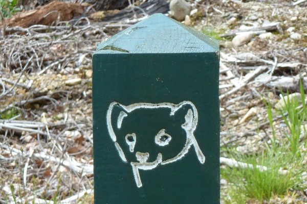
Look out for dipper and otter on the burn. Look out for butterflies (mainly whites and browns) and day flying moths on the flower-rich verges and rides. Listen out for coniferous specialists in the plantations, and resident and migrant birds in the deciduous sections of woodland. Look out for the tracks and signs of pine marten and red deer, and scan the mountain tops and ridge lines for raptors, including golden eagle.
Route details
- Park in the car park at the end of the road at Elleric.
- The walk starts at the interpretation board. Follow the pine marten trail sighs on a gravel path as it ascends gently by the side of a mixed deciduous oak woodland (beech, oak, birch and hazel). The route passes by some former charcoal platforms.
- Pass by a picnic bench and then cross a wooden bridge over Allt Coire Mulrooney. The burn forms numerous small waterfalls as it cuts through the bedrock.
- Keep left at the junction and follow the grassy track as it rises through birch/willow/alder scrub. Turn back on occasion to admire the hill views of Glen Crenan as well as those ahead.
- The path crosses a few streams clumped with bluebells and ramsons in Spring.
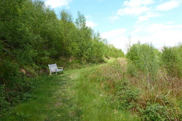
- The path veers to the right, shortly after which there is a welcome bench with stunning views over the glen.
- Shortly after this the path levels off before rising steeply again and then descending. Look out for an excellent interpretation board with good views over Glen Ure.
- Pass by another bench before descending to a magnificent oak strewn with epiphytic polypody ferns.
- At the T junction, return left, returning by the outbound route.
starting grid ref
Links to useful Information
terrain
length
Safety
Route details and information are provided in good faith. All walking is potentially dangerous and it is your responsibility to ensure that you are properly dressed and equipped, have a map and compass, have checked and planned your route in advance and are able to navigate effectively. Maps displayed on these walking pages are intended as an overview of the walk and are NOT suitable for navigation. Please follow the Scottish Outdoor Access Code and respect landowners and residents' privacy. Always check the weather forecast and let others know if you are walking in the hills.


