Loch Mama
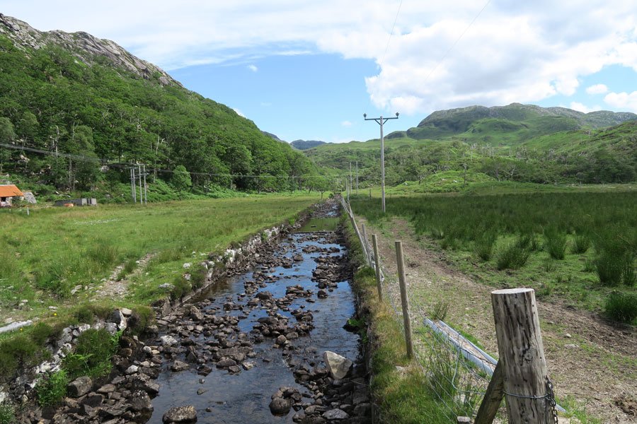
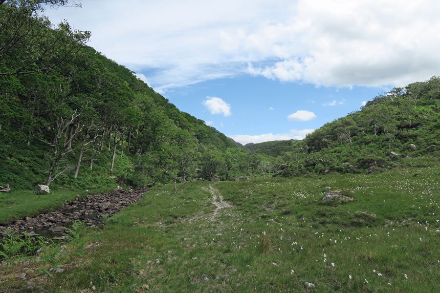
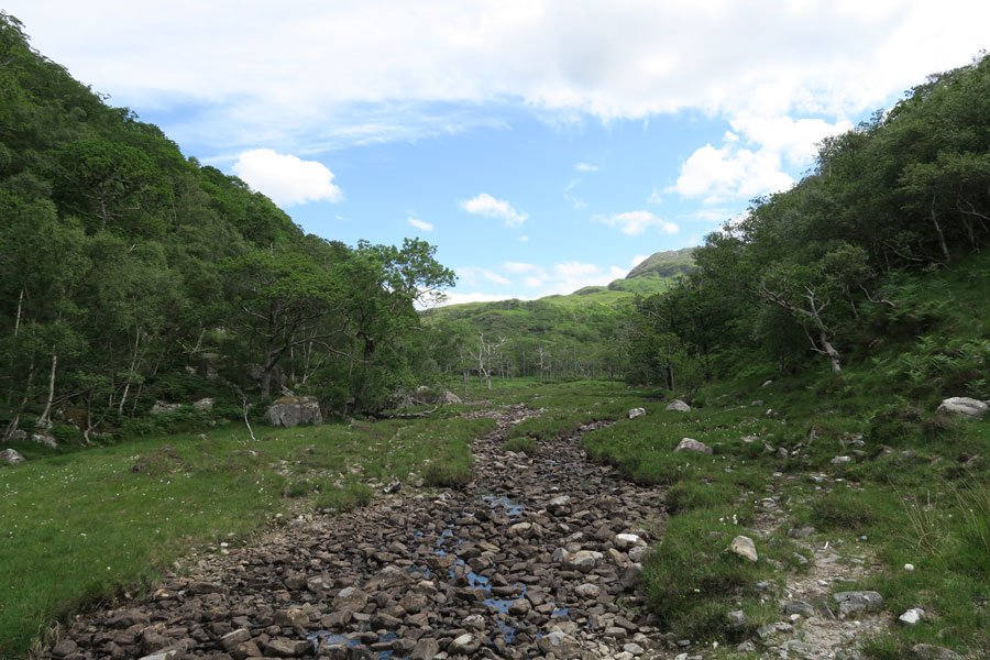
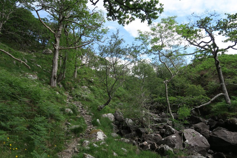
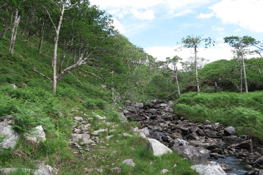
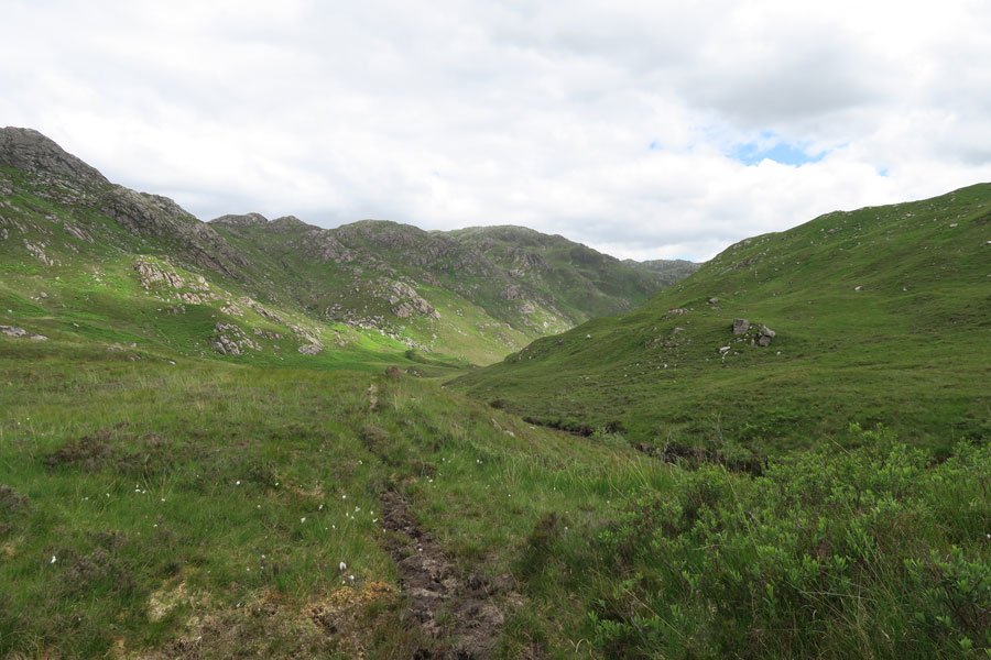
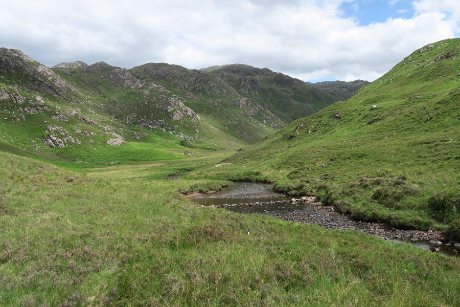
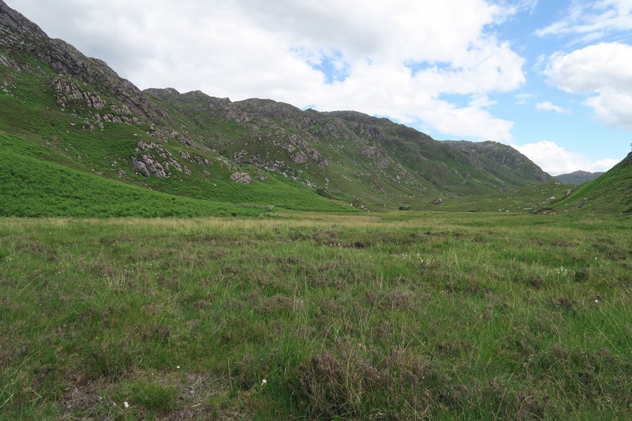
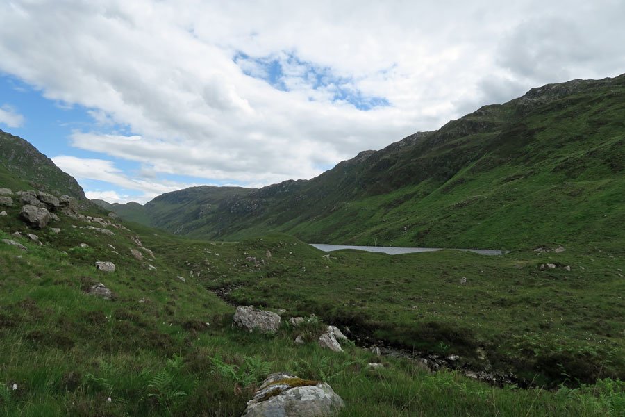
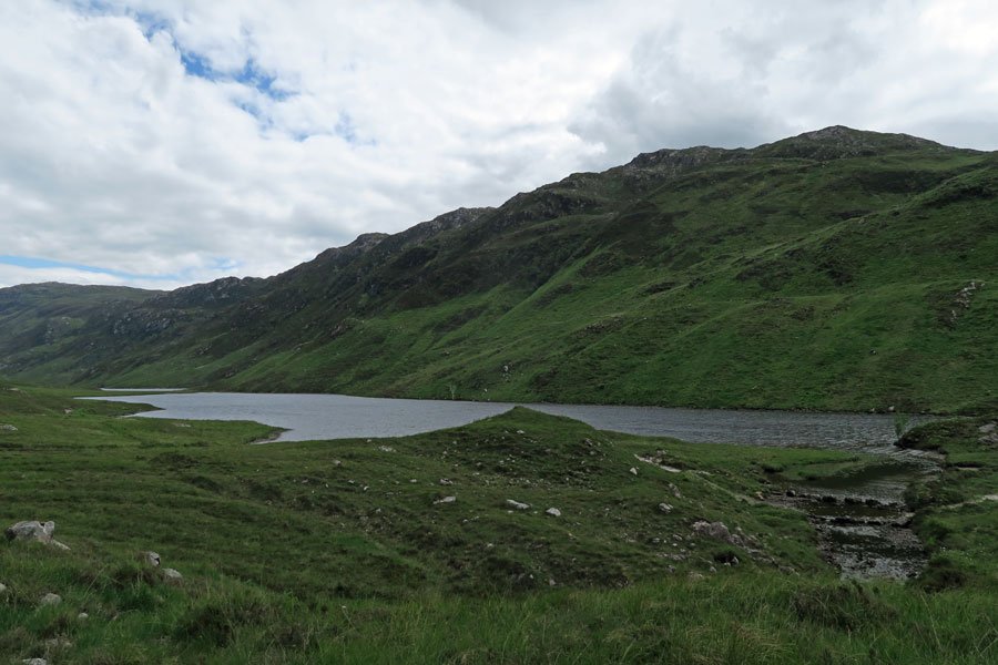
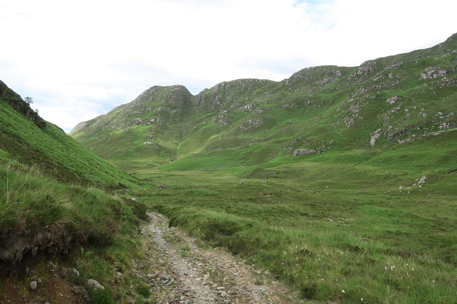
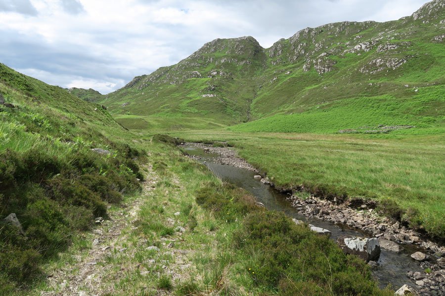
A lovely scenic walk through Glen Màma ascending through Atlantic oak woodland and onto wet meadow and heath to access a small freshwater loch, Loch Màma. The walk follows the course of the burn, Allt a' Mhama, and combines sections of gentle ascents, steep ascents and level sections, as you skirt and weave towards and away from the watercourse.
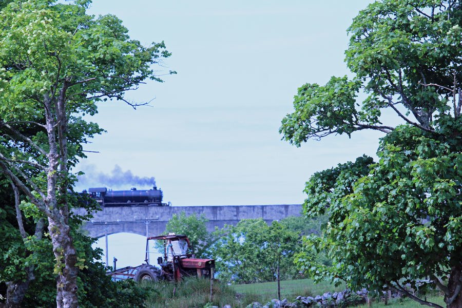
The route starts from the rail viaduct that crosses north-eastern shores of Loch nan Uamh, affording fine views of the natural and designed landscape. The eight-arched concrete viaduct spans the lower reaches of Allt a' Mhama as in enters the loch and the A830. The B-listed structure was constructed as part of the West Highland Extension Railway between Fort William and Mallaig which was opened in 1901.
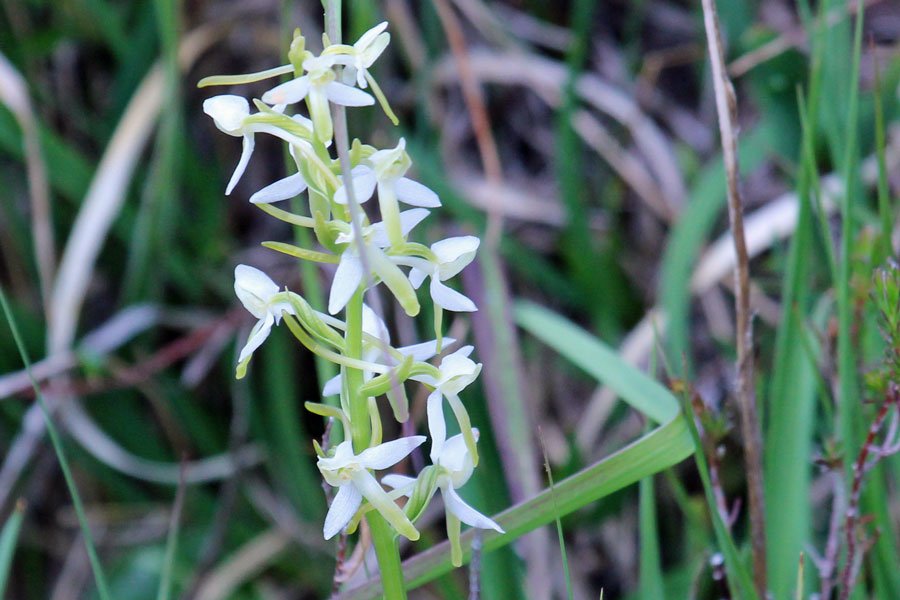
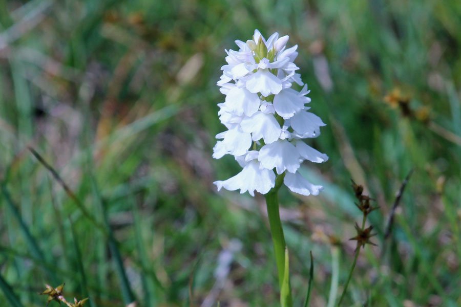
In Spring and Summer, there are plenty of opportunities for botanising on route. Look out for butterfly orchids, northern marsh orchid, ragged robin, pignut, self heal, bird's-foot trefoil, red and white clovers, vetches and hawkweeds in the roadside verges at the start of the walk.
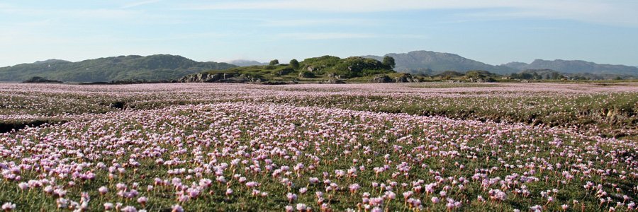
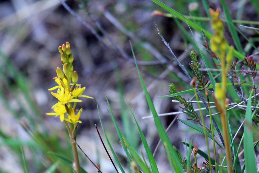
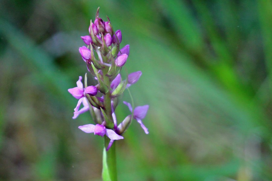
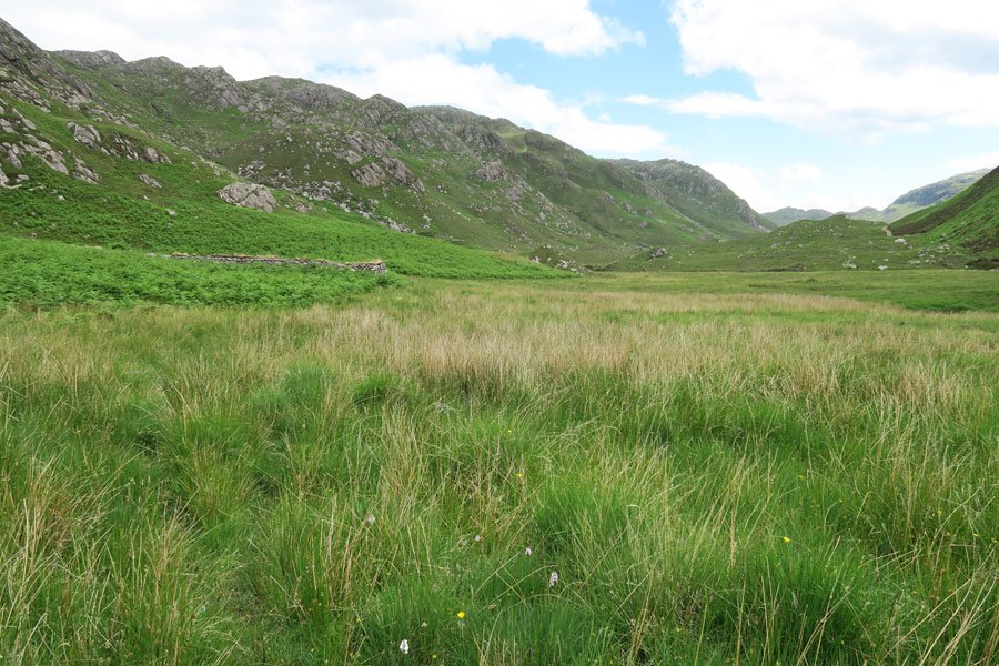
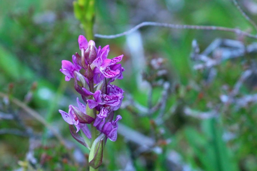
Take time to admire the pinks, magentas and purples of marsh, common and heath spotted orchids and devil's bit scabious in the damp grassland, as well as those of the heaths (Erica species) and heathers (Calluna vulgaris), mixed with the stunning blues of heath milkwort (Polygala serpyllifolia), the yellow of tormentils and the pink to mauves of the semi-parasitic lousewort, as you ascend through heathland. Boggy areas are identified by the presence of the stunning, star-like, sulphur yellow flowers of bog asphodel, borne on spikes between June and August, to be replaced by the reddish fruits and a sublime orange hue to the foliage from late summer into autumn.
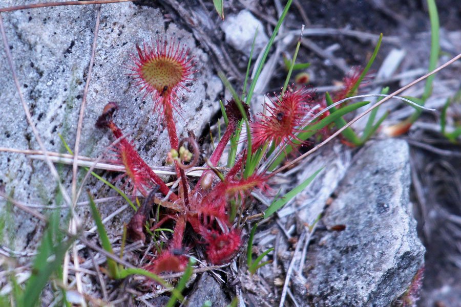
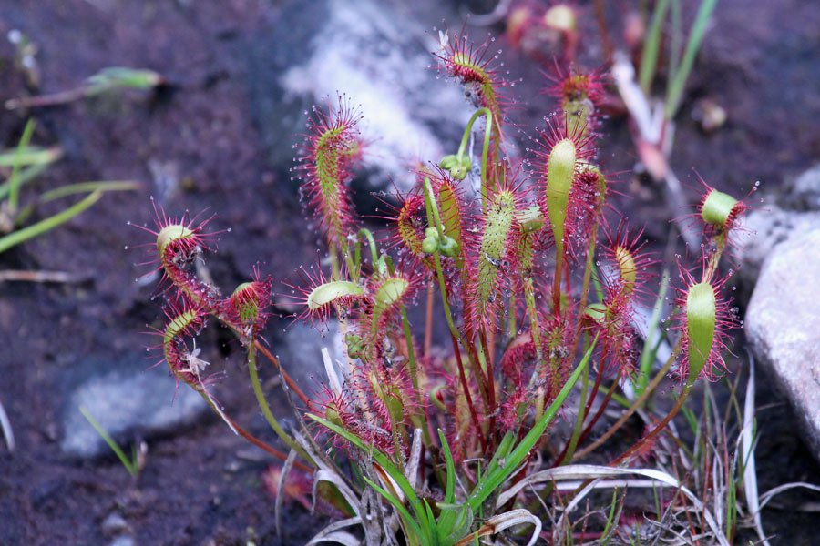
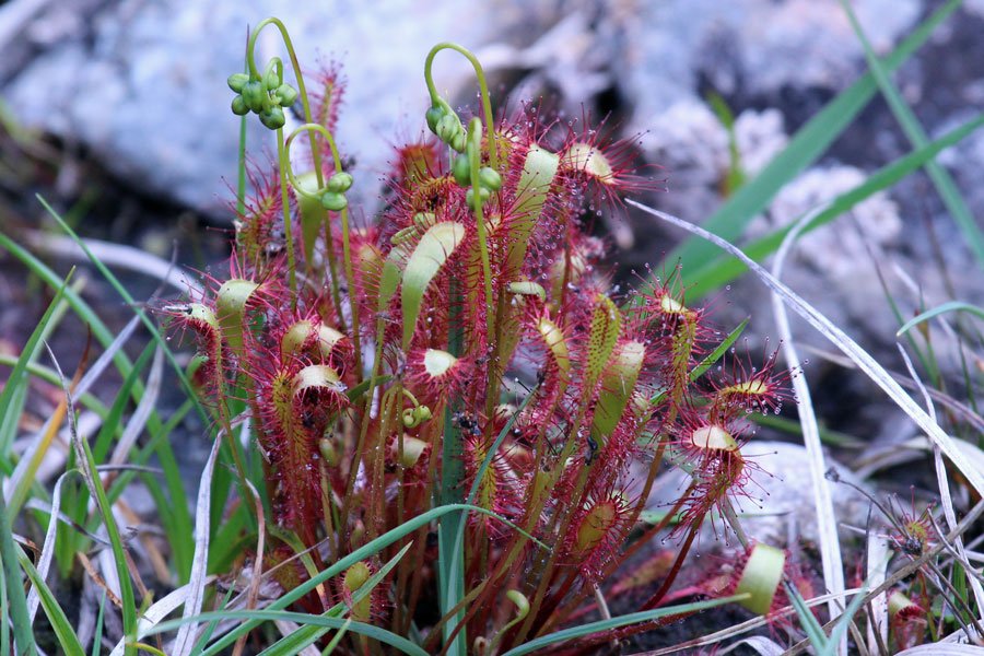
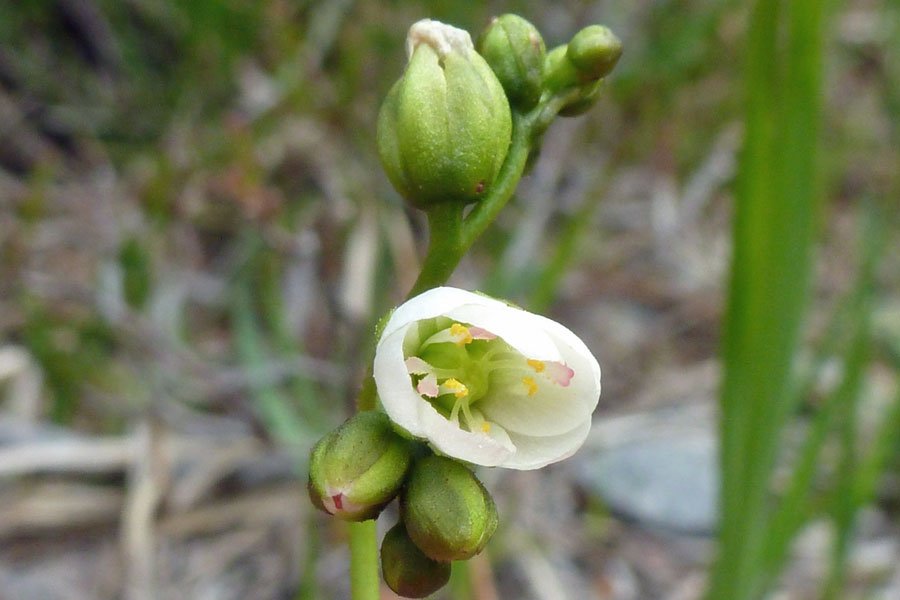
Carnivorous plants lurk in nutrient poor areas on route include the purple flowered common butterwort (Pinguicula vulgaris) and white flowered sundews (Drosera rotundifolia and D. intermedia), which deploy sticky, glandular leaves to entice, trap, and digest unwary insects.
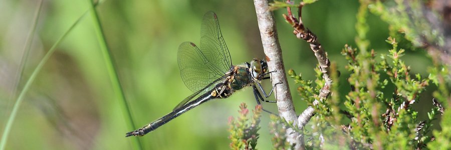
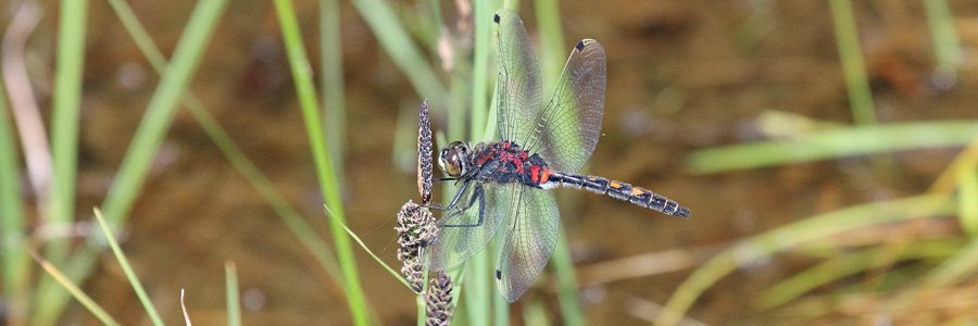
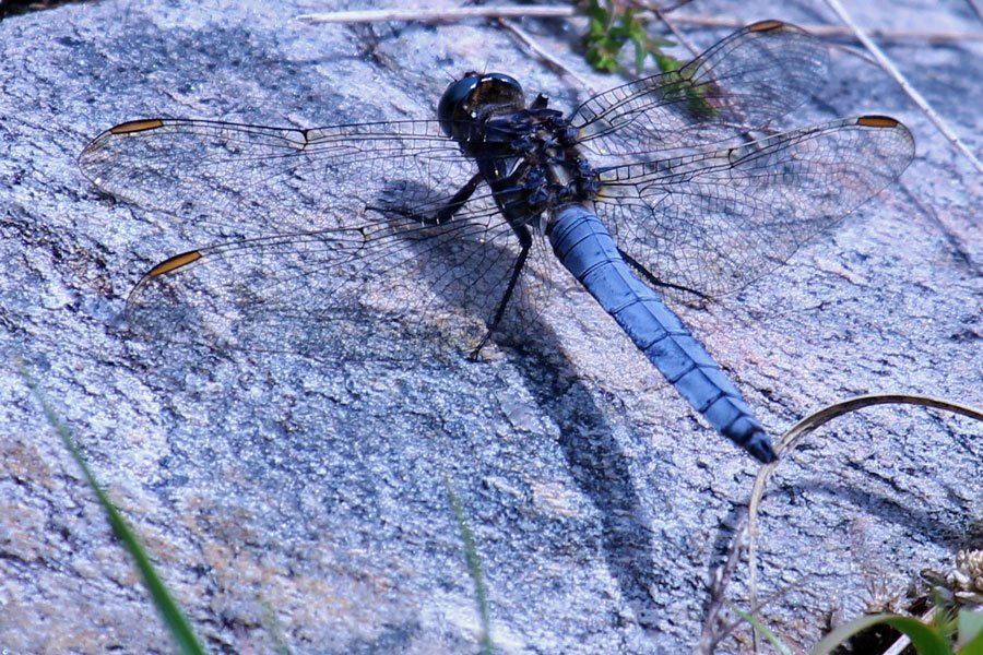
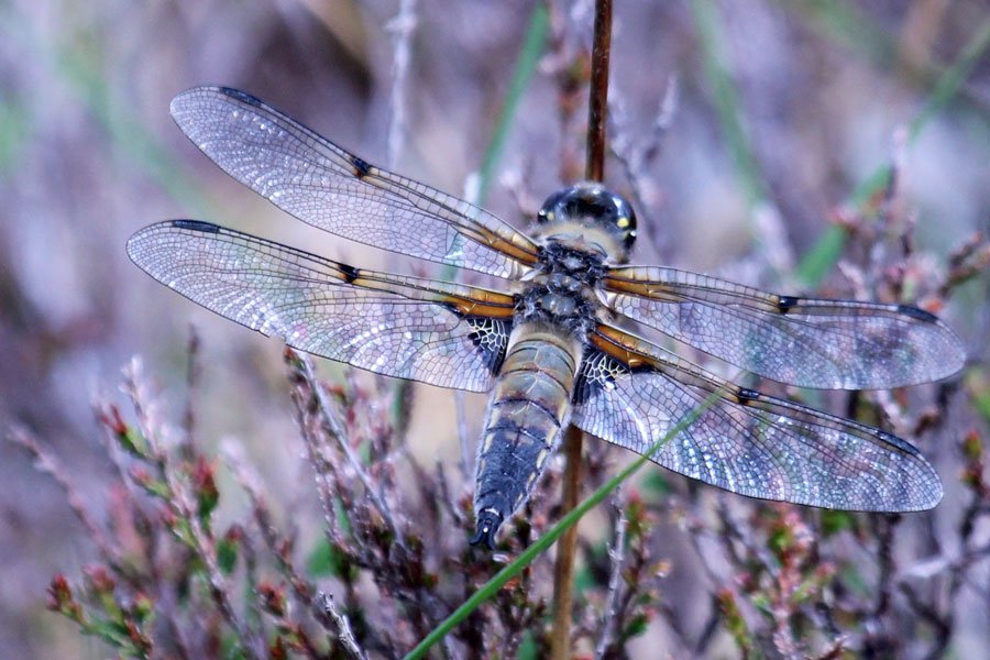
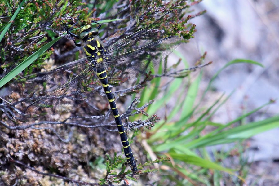
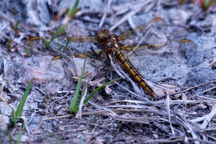
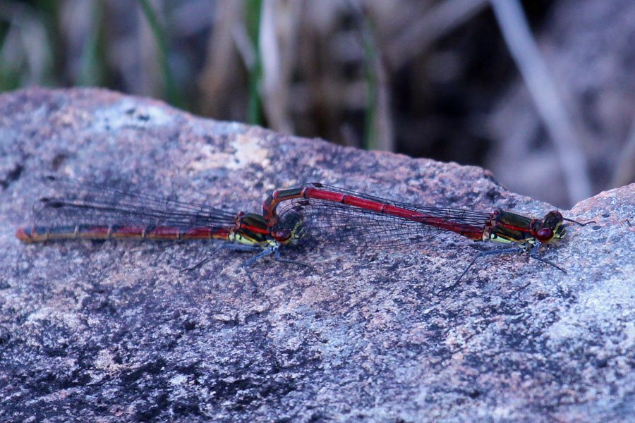
Look out for flashes of powdery blue of male keeled skimmers, the red abdomens of male highland darters, and the striking yellow and black of the large golden-ringed dragonfly as they patrol their favoured sections of watercourse. Listen out for the distinctive 'tee wee wee' of common sandpipers and the evocative calls of the cuckoo and meadow pipit in season, as well as the cronks of raven throughout the year. Look out for tits and warblers in the wooded sections and scan the high mountain ridges for golden eagle and other raptors.
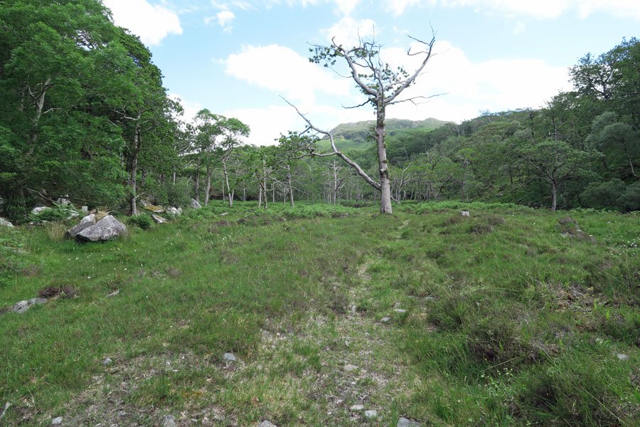
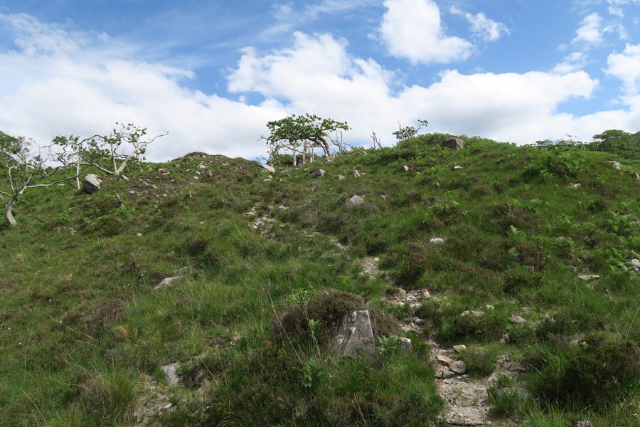
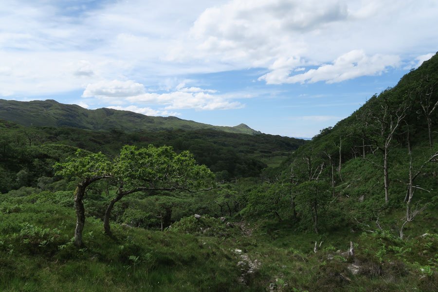
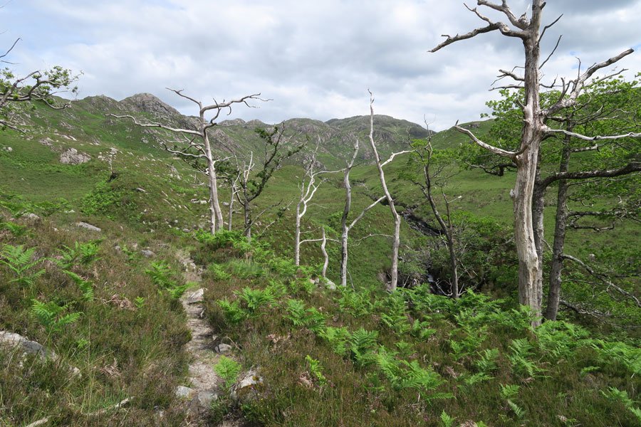
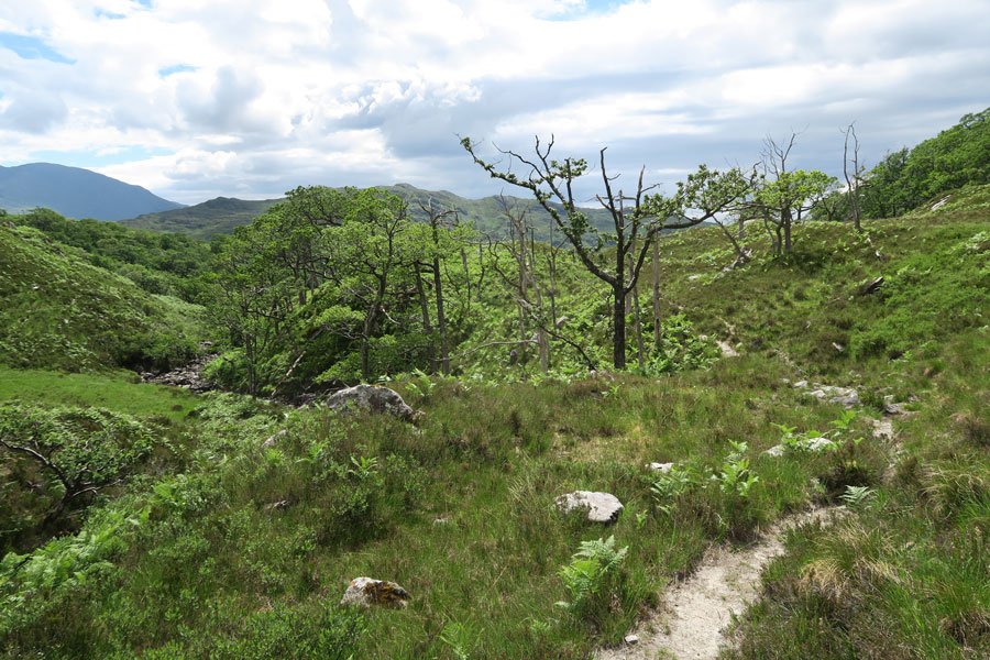
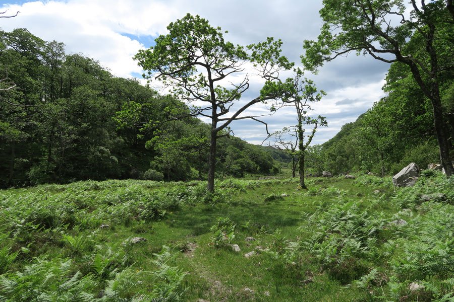
There are also some lovely sections through the Atlantic oak woodland at the start of the walk, which gradually thins as you ascend onto heath/moorland into scattered skeletons of moribund and dead oak.
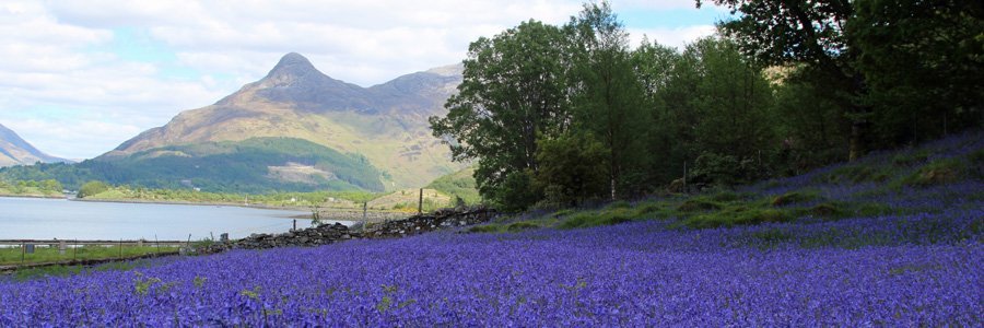
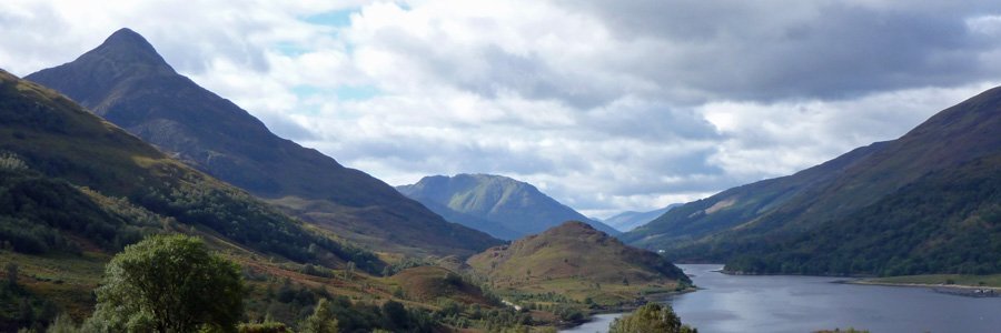
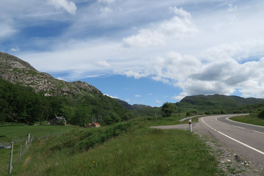
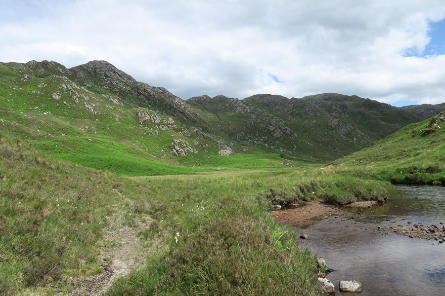
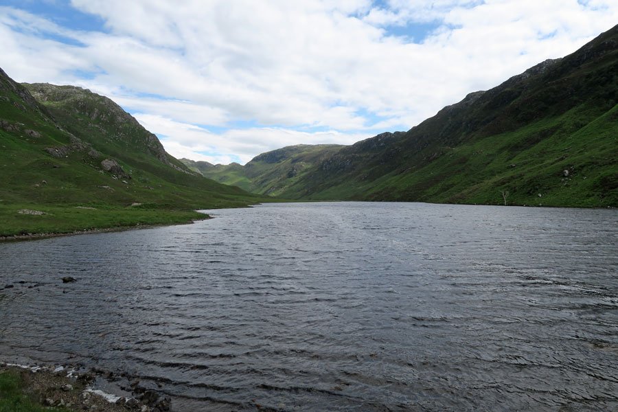
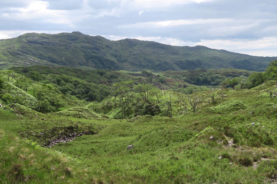
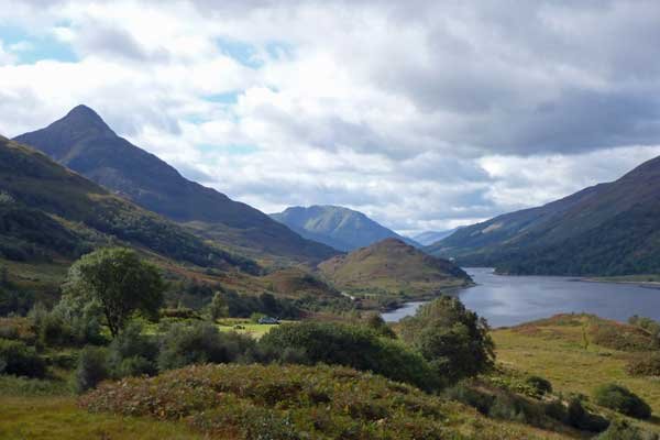
There are some fine hill views on route as you traverse through the glen, overshadowed by towering hills.
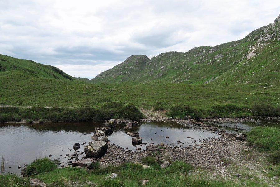
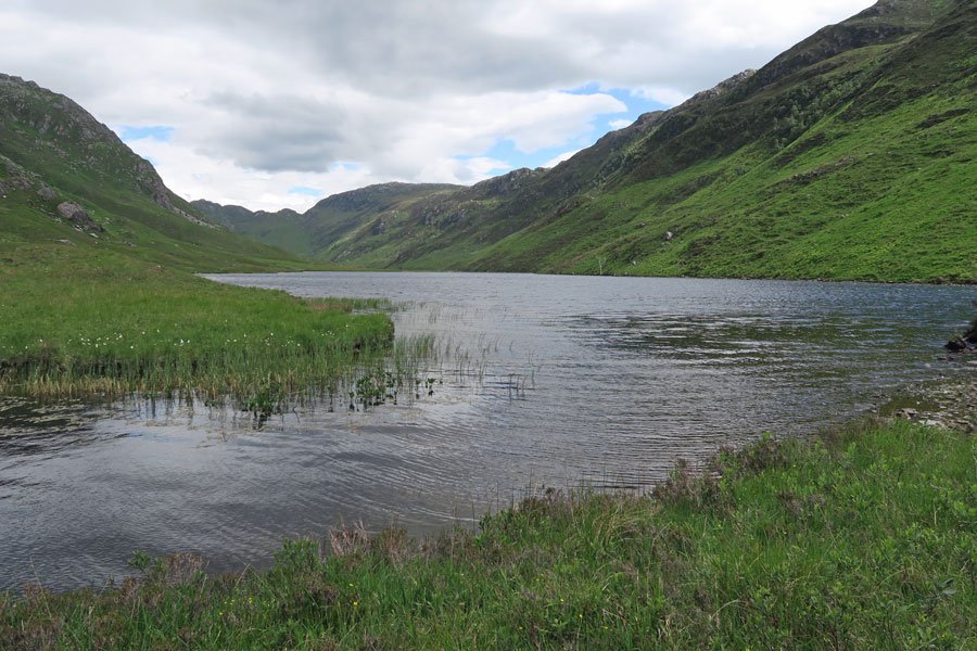
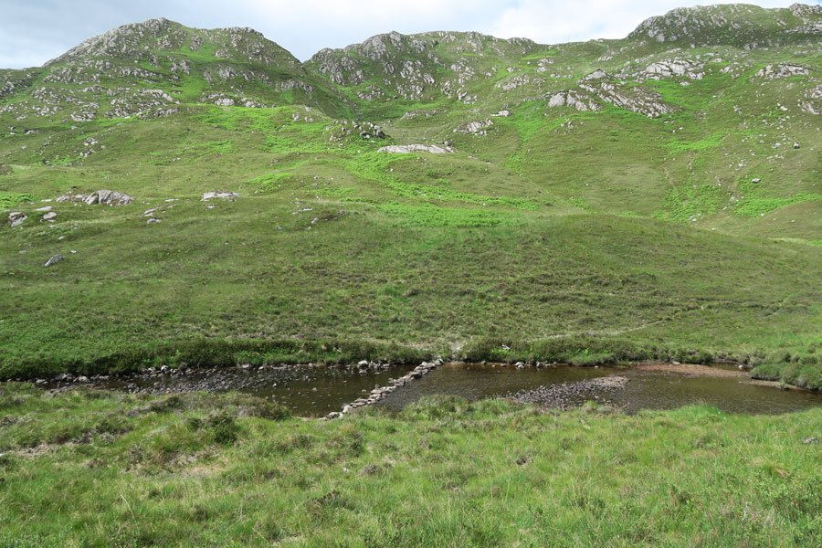
Loch Màma is approximately 0.53 km in length, with a maximum width of 0.201 km and an average depth of 4.34 km, reaching a maximum depth of 13.41 metres towards the east end. The shores of the loch are fringed with bog bean and water lobelia.
The path is generally well marked but can be faint in places- it stone trcak and grassy path. The route can be wet and requires a few crossings the watercourse so waterproof footwear is advised.
Route Details
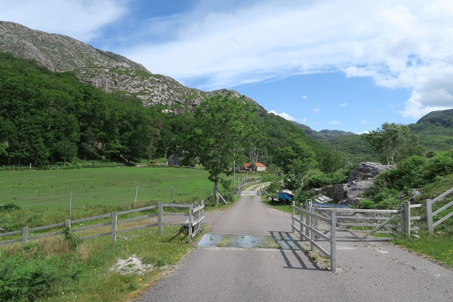
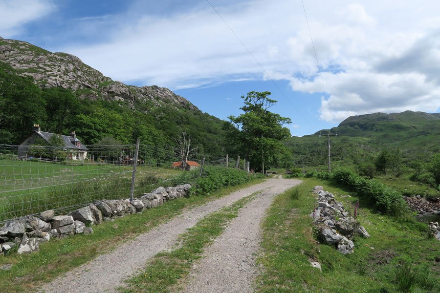
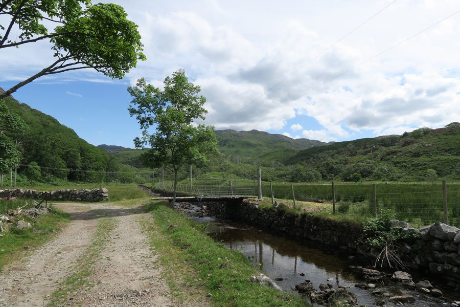
1. Park in the layby by the viaduct just west of Glen Màma Farm Head east along the road verge towards the farm track. Head down the track, past the farm house and then cross the wooden bridge on the right to skirt the watercourse.
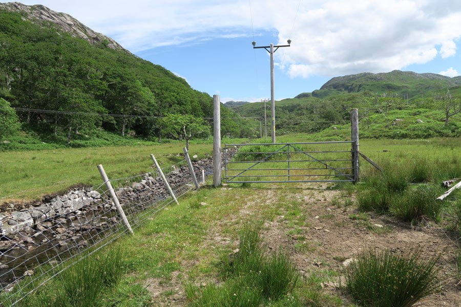
2. Pass through a metal gate into a wet meadow and continue by the edge of the watercourse, heading up the glen, crossing the burn several times via fallen trees, fords, stones and bridges, as required.
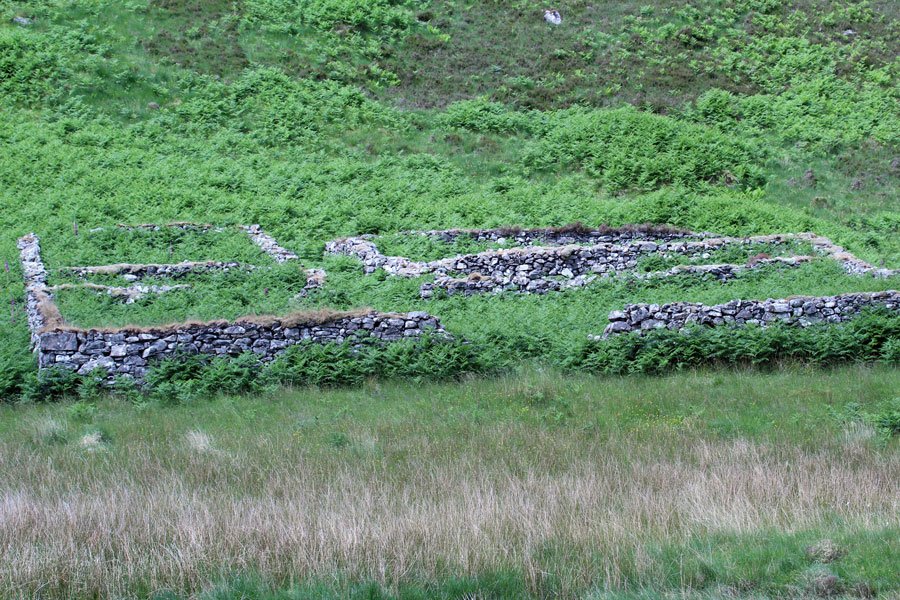
3. Once through the woodland section, continue on the path towards a derelict building, ignoring the stepping stones. Keep the stream on your right whilst following the faint path which passes by the derelict building.
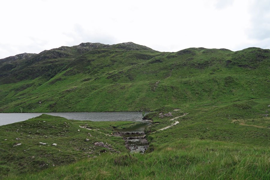
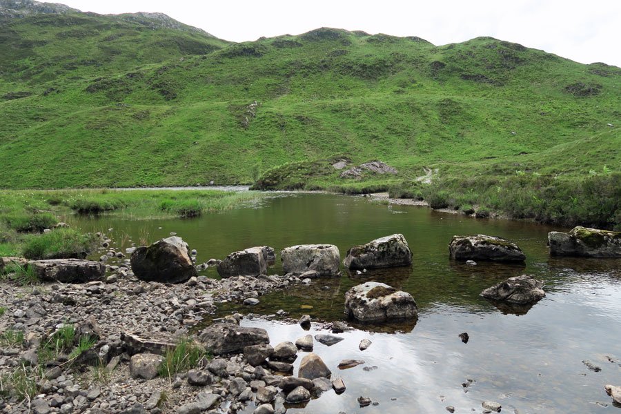
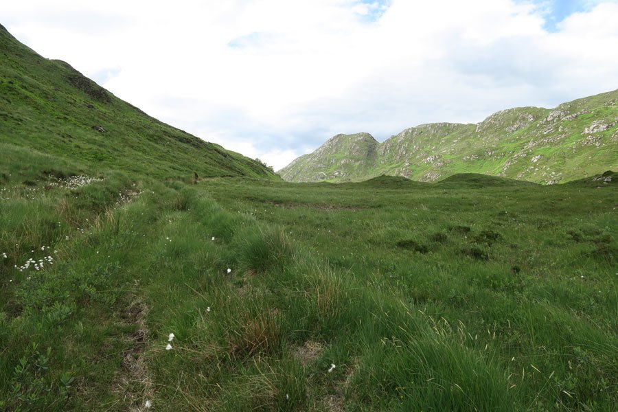
4. Once past the stone building, head straight across the boggy ground and pass between the two small knolls (seen in the distance). You will need to cross over a few small burns on several occasions before you are able to pick up a most obvious path which skirts the main watercourse and reach Loch Màma. Take time to explore the interesting shorelines of Loch Màma. There are also a few well position boulders ideal for a picnic lunch.
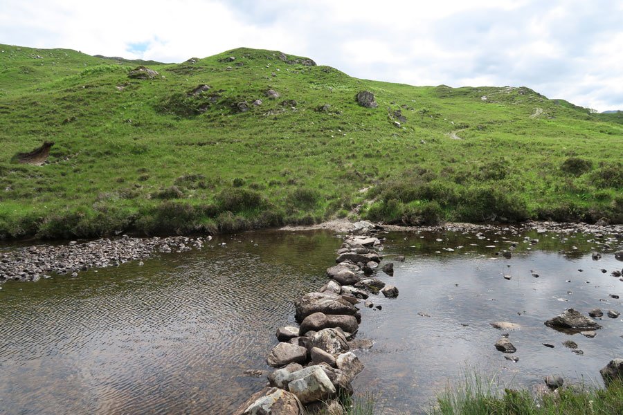
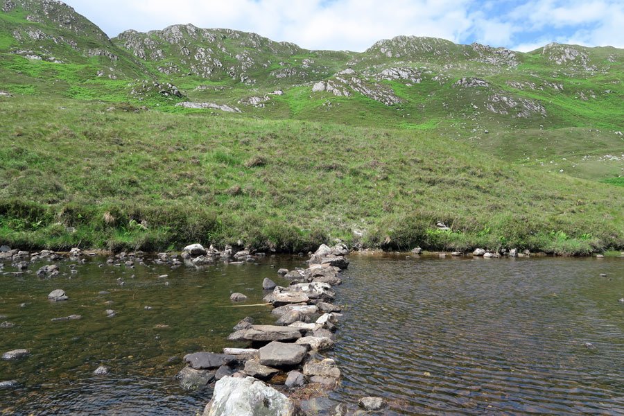
5. Return by same route. Alternatively, cross the stepping stones at the bottom of the loch to return along a track on the opposite side of the river. Cross the stepping stones approximately 200 yards beyond the derelict stone building to return to the outbound route.
starting grid ref
terrain
length
Safety
Route details and information are provided in good faith. All walking is potentially dangerous and it is your responsibility to ensure that you are properly dressed and equipped, have a map and compass, have checked and planned your route in advance and are able to navigate effectively. Maps displayed on these walking pages are intended as an overview of the walk and are NOT suitable for navigation. Please follow the Scottish Outdoor Access Code and respect landowners and residents' privacy. Always check the weather forecast and let others know if you are walking in the hills.

