Ardnish and Peanmeanach
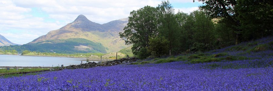
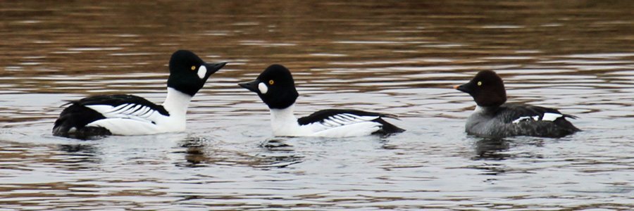
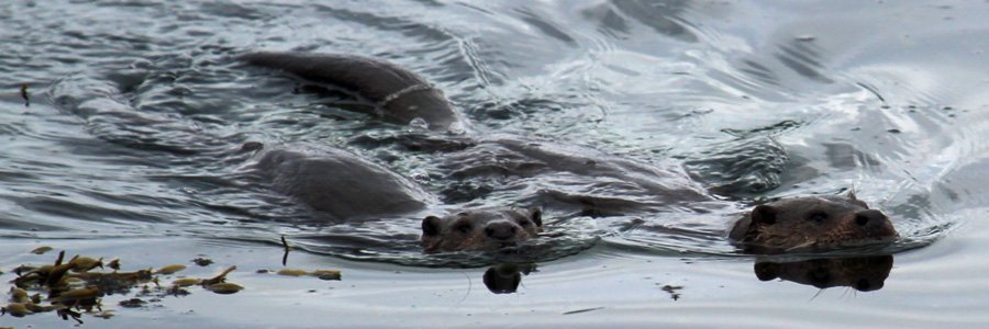
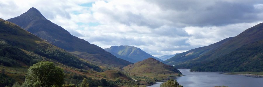
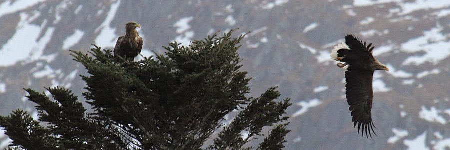
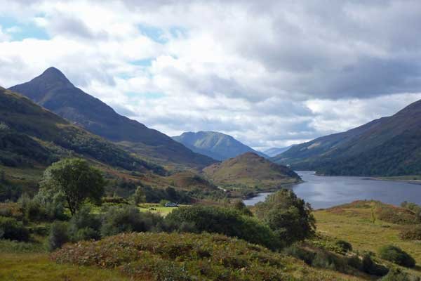
A fabulous walk on a fine day with stunning views of the hill loch, Loch Doir a Gherrrain and the coastal loch, Loch nan Uamh. The walk passes through a range of habitat types, including heath, woodland, upland marsh grassland and reed beds. Look out for skylark and pipits on the heath, red-throated divers on the hill loch and raptors, including golden eagle, on the hill tops and crags. Listen out for a range of woodland birds and coastal birds, including ringed plover, oyster catchers, and mergansers. If you are lucky you may see a white-tailed eagle and otter.
The walk is very pleasant, but with some arduous sections, including a steep ascent near the start of the walk. The path is generally distinct, but there are several very muddy sections. These sections can be negotiated reasonably well by taking advantage of the strategically placed stones. This walk is best done in fine weather after a dry spell, and should only been done by an experienced hill walker in less favourable conditions. A walking pole/stick is recommended.
A great walk with fantastic views. There is also an opportunity to camp overnight in the bothy at Peanmeanach.
Route details
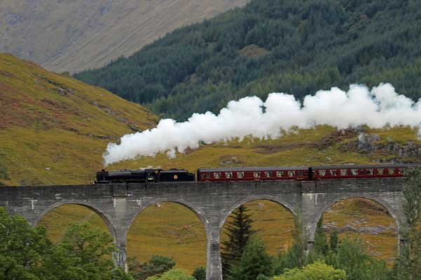
1. Park at lay-by on the A830 and locate the footpath sign to Peanmeanach. Head off on the gravel path, keeping right. The path descends steeply by the side two houses and skirts around the deer fence of the newer house. It can be very boggy in places but is generally well-defined. The path heads through heath (Calluna vulgaris, Erica cinerea, Vaccinium myrtilus Blechnun spicant, with Erica tetralix and Myrica gale) and birch woodland, skirting the edge of a Loch Dubh and then crosses a small railway bridge over the train line between Fort William and Mallaig. Look out for the Harry Potter Express.
2. Soon after, the path crosses a small stream on a rather wobbly bridge before entering more open country with good views of the hills, many flanked by birch woodland, and the beautiful Loch nan Uamh, with its many small islands. Bonnie Prince Charlie landed at Loch nan Uamh in 1745. He also departed from the same point, marked by the Prince’s Cairn, in 1746, after the unsuccessful Jacobite uprising.
3. The path starts to ascend steeply. As you ascend, look out for diverse assemblages of bryophytes. There are also yellow primroses (Primula vulgaris) flowering in Spring, the mauve to purplish-blue flowered devils-bit scabious (Succisa pratensis) in late Summer, and the delicate violet flowers of the insectivorous plant, common butterwort (Pinguicula vulgaris). At the top of the ascent, there are superb views across the heath and upland grassland to the hills and coast. The grassland is dominated by purple moor grass (Molina caerula).
The numerous rocky outcrops provide good opportunities to explore the complex geology of the region. There is also a good place for a picnic/coffee break with good coastal views at or just beyond a stone cairn some 2.5km into the route. From the viewpoint, look out for the viaduct at Polnish and the Princes Cairn.
4. The path skirts around the western end of Loch Doir a Gherrrain, with its surrounding hill profile of low ridges and hill peaks providing a mesmerising sight on a sunny day. The superb views across the Loch Doir a Gherrrain are soon replaced by equally stunning views of Loch Ailort as the path begins to descend to the coast. Near the bottom of the descent the path crosses a stream on stepping stones, before skirting round a rocky outcrop. The stream crossing presents no problems after a dry spell, but may be more difficult, if not impassable, after prolonged or heavy rain. Soon after this point the coast and deserted village of Peanmeanach with bothy come into view.
5. The path heads through a lovely wooded section of birch and oak, with the occasional mountain ash tree. This is a great place for exploring the diversity of lichens and bryophytes associated with the trunks, stumps and rocks, as well as admiring the lovely ground flora in Spring.
6. The path continues to descend before reaching a flat section of reed bed and tussock grass just behind the ruined village and shoreline. The path heads straight across to the shoreline and village, although this section can be very boggy.
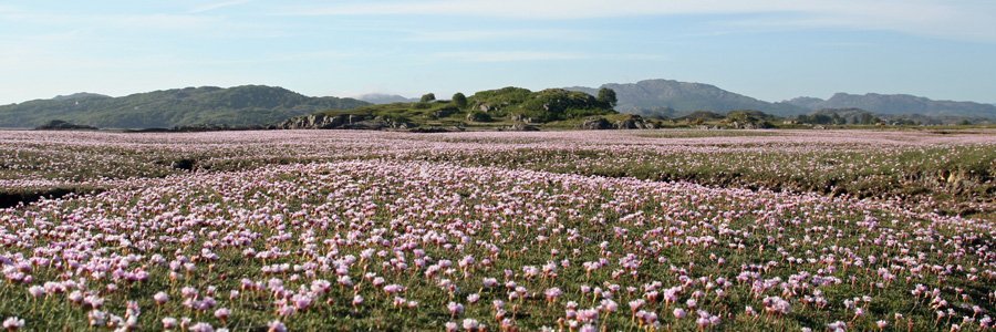
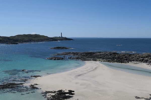
At high tide the beach is a mixture of sand and shingle. However, at low tide, the beach is particularly lovely, with an abundance of brown seaweeds, barnacle and mussel encrusted rocks and small salt marsh islands. Take time to explore the coast line and surrounding area. There is also a fine bog section just south east of the bothy, and good views of Loch Ailort from the surrounding hills. You can also camp overnight in the bothy, run by the Mountain Bothies Association.
7. Return by the same route. On your return journey, take particular care over the steep descent down to Loch nan Uamh near the end of your return journey.
starting grid ref
Links to useful Information
terrain
length
Safety
Route details and information are provided in good faith. All walking is potentially dangerous and it is your responsibility to ensure that you are properly dressed and equipped, have a map and compass, have checked and planned your route in advance and are able to navigate effectively. Maps displayed on these walking pages are intended as an overview of the walk and are NOT suitable for navigation. Please follow the Scottish Outdoor Access Code and respect landowners and residents' privacy. Always check the weather forecast and let others know if you are walking in the hills.

