
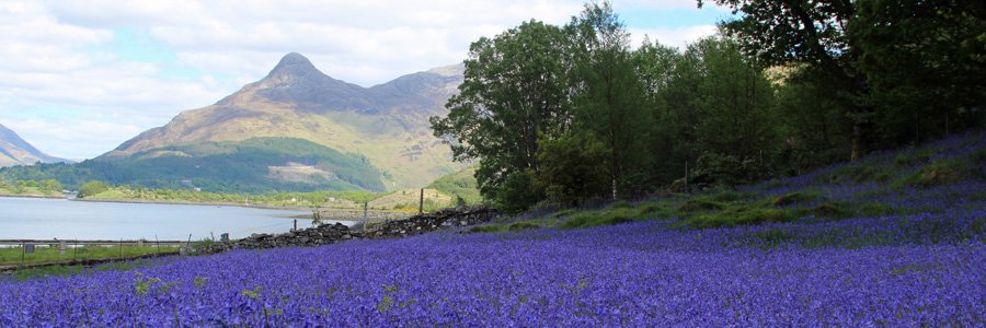


Geopark Rock Route 18 - Loch Leven


Details
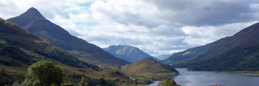
This interpretation board describes the geology and topography of Glen Coe area, based around an ancient volcanic caldera. The board describes how the caldera was formed over 420 million years ago involving circular faults and subsidence. The geology of Glencoe caldera is shown as a combination of intrusive igneous (granite) and extrusive igneous volcanic rocks (andesite, rhyolite and ignimbrite), overlying metamorphic rocks (schists, phyllite, quartzite, Ballachulish slate) and Ballachulish limestone. The board describes the origins and nature of the rocks of the Aonach Dubh ridge. There is also a section on an earlier episode of mountain building that resulted in the Caledonian Mountain chain, formed by the collision of a continent with a subduction zone.
The board sited in a layby off the B863 on the north shore of Loch Leven, around 4km north of Ballachulish.
A great introduction to some of the turbulent events that shape the topography and geology of the Highlands.


